TrailDamage.com

Photos, videos and information about 4x4 trails in Colorado and Utah

  • Trails
    • Colorado
    • Utah
  • Reports
    • Featured Photos
    • Featured Videos
    • Reports Calendar
  • Members
  • Search
  • Trail Damage Winners
  • FAQ
  • Community
  • Upcoming Events
  • Membership
  • Log In
  • Facebook
  • Instagram
  • RSS
  • Twitter
  • YouTube

Maggie Gulch 080827

August 27, 2008 by Monica

Maggie Gulch

Trail Run on August 27, 2008
Report and photos by Monica I., Trail Leader
View trail information for Maggie Gulch

Michael M.
Black 2006 Jeep Wrangler Unlimited Rubicon
Don W.
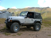
Silver 2005 Jeep Wrangler Rubicon
Monica I.
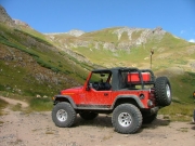
Red 2010 Jeep Wrangler Rubicon
Walt S.
Gray 2022 Jeep Wrangler Unlimited Rubicon 392

This was the first trail on the first day of our San Juan Mountains trip, and we were all excited to get going. We tried to meet at a coffee shop in Silverton, but it was closed so we met at the Silverton Grocery for the rest of the week. It worked out well. To make matters even better, the weather was perfect.

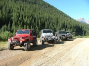
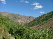
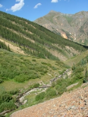
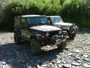
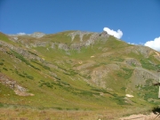
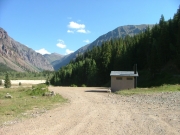
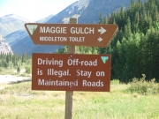
Maggie Gulch is just north of Silverton, so we aired down on the main road in a pullout. The views were already amazing and we hadn't even started the trail yet. Finding the trailhead was easy, with a pit toilet there.

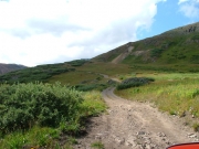
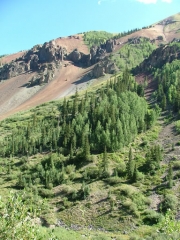
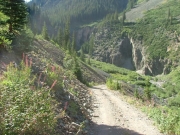
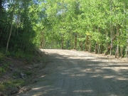
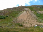
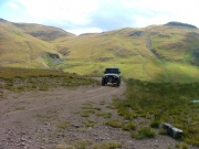
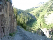
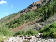
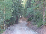
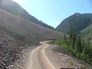
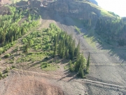
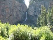
We started up, snaking through the trees, and we soon found ourselves crossing the huge talus section. It was weird, but very cool. Just after that, we took the spur down to the waterfall viewing area.

There were already some people down there, people we'd see throughout the day. Still, there was plenty of room. It looked like a rough hike through brush to get to the waterfall, so we enjoyed it from the viewing area instead. Eventually, we all turned around to head back up to the trail.

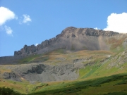
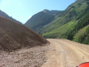
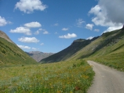
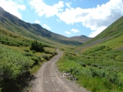
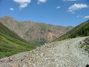
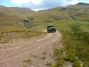
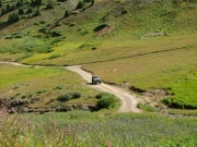
The trail got narrow, and the drop-off was pretty crazy. Then, after that section, the views opened up. We passed the spur to the Little Maud Mine because it didn't look like it offered much of anything. When we got to the "Y" in the road, we went up to the Empire Mine.

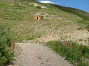
The road up there was pretty fun, with tight switchbacks and narrow climbs. At the top, there was plenty of room to park and walk around. We all put on more sunscreen -- it was hard to believe that we were risking sunburns in the San Juan Mountains, famous for rain.

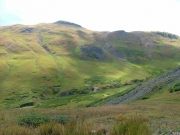
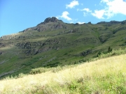
The views from the Empire Mine area were outstanding, making the side trip definitely worth it. We could see the Intersection Mill below us, with lots of cars parked there. We headed down to join them.

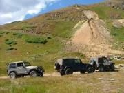
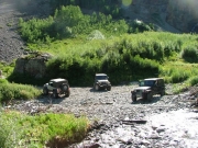
When we got there, three of the big trucks were from the forest service and they were parked in ways to take up most of the parking area. We found parking spaces on the trail here and there, and then walked back to the mill. We'd definitely want to spend some time there.

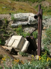
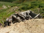
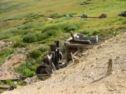
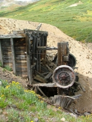
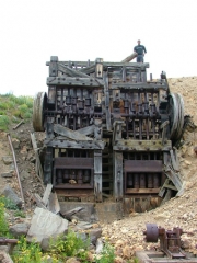
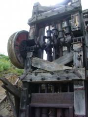
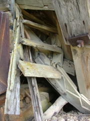
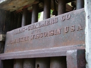
The Intersection Mill was very cool. We'd seen stamp mills before, but the pieces are usually laying around on the ground. In this case, however, the mill was almost completely together. You could really see how things worked, and we spent some time pointing things out and chatting. It was a very cool thing to see, and well worth the trip.

It wasn't long before we headed out, though. We had lots of trails to do!

airing_down
basin_past_intersection_mill
blue_sky
canby_mountain
clear_water
climb_to_the_top
colorful
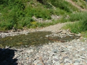
creek_water
curve
don_at_the_empire_mine
down_to_the_waterfall
early_trail
empire_mine_part_1
empire_mine_part_2
empire_mine_part_3
empire_mine_tailings
following_the_creek
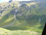
green_valley
intersection_mill_from_the_empire_mine
intersection_mill_part_1
intersection_mill_part_2
intersection_mill_part_3
intersection_mill_part_4
intersection_mill_part_5
intersection_mill_part_6
intersection_mill_part_7
intersection_mill_part_8
intersection_mill_part_9
little_maud_mine
maggie_creek_crossing
michael_and_walt
michael_at_the_empire_mine
middle_mountain
monica_at_the_empire_mine
mountain_stream
narrow_section
old_cabin
on_the_way_back
parked_at_the_empire_mine
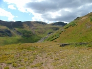
rolling_green
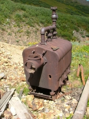
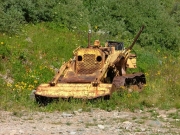
rusted_equipment
sign_at_the_start_of_the_trail
spur
stamp_on_intersection_mill
start_of_the_trail
trail_ahead
trail_through_talus
trailhead_pit_toilet
trailhead_sign
trails
up_from_the_waterfall
view_at_the_empire_mine
walt_at_the_empire_mine
walt_to_empire_mine
waterfall_viewing_area
waterfall
Join Us!
If you aren’t a Member or Subscriber, you can’t see all of the content on this site. Get membership information to see why this site is best when you join and log in

Information for Subscribers

When you log in you’ll see more information here:

  • Recent Community Forum posts
  • Recent polls
  • Upcoming Events you can attend
  • Links to online users

© 2000-2022 · TrailDamage.com · Terms and Conditions · About · Contact
Trail information is only accurate on the date posted. Trails may have changed or closed since that date. Use this information for historical purposes only.
Contact the Forest Service or Bureau of Land Management for up-to-date trail information.

/* ----------------------------------------- */ /* View slug: reports-other-reports-for-same-trail-slider - start */ /* ----------------------------------------- */ /* place the prev/next controls on the sides */ .td-transition-controls .wpv-filter-next-link, .td-transition-controls .wpv-filter-previous-link { border: none; font-size: 300%; position: absolute; top: 70px; } .td-transition-controls .wpv-filter-previous-link { left: 0; } .td-transition-controls .wpv-filter-next-link { right: 0; } /* center the page selector horizonatally */ .td-transition-controls ul.wpv_pagination_dots { text-align: center; margin-top: 10px; } /* center the page selector horizonatally */ .td-transition-controls ul.wpv_pagination_dots li.wpv_pagination_dots_item, .td-transition-controls .wpv_pagination_dots li a { display: inline-block; float: none; } /* remove the default styles */ .td-transition-controls .wpv_pagination_dots li a { text-decoration: none; border-bottom: none; } .td-slider-container { padding: 0 25px; margin-bottom: 20px; position: relative; width:100%; display:table; } .td-slides { position: relative; } .td-slides-image { float:left; display:table-cell; } .td-slides-image img { border:1px solid #c0c0c0; } .td-slides-content { padding:4px 4px 4px 10px; border-top:1px solid #c0c0c0; border-right:1px solid #c0c0c0; border-bottom:1px solid #c0c0c0; display:table-cell; height:227px; overflow:hidden; } .td-slides-content h3 { margin-top:8px; } .td-slides-leader { font-size:smaller; margin-top:4px; } /* ----------------------------------------- */ /* View slug: reports-other-reports-for-same-trail-slider - end */ /* ----------------------------------------- */
/* ----------------------------------------- */ /* Content Template: Template for a Single Report - start */ /* ----------------------------------------- */ .entry-header { display:none; } .entry-content h1 { margin-top:16px; padding-top:0; } h1 a { color:#222; } h1 a:hover { color:#666; } p.entry-meta { font-size:small; } #report-body-spacer { clear:both; width:100%; height:20px; } #addtoany-bar { margin-bottom:2em; text-align:center; } .category-reports .post-info .author, .post-info .date { display: none; } .addthis_recommended_horizontal { text-align:center !important; } /* ----------------------------------------- */ /* Content Template: Template for a Single Report - end */ /* ----------------------------------------- */ /* ----------------------------------------- */ /* Content Template: Loop item in REPORTS Runners - start */ /* ----------------------------------------- */ #runners-container { width:100%; clear:both; } .runner { border:1px solid #c0c0c0; margin:0 6px 6px 0; float:left; width:49%; height:81px; } .runner-image { float: left; } .runner-image img { margin:2px 10px 0 2px; height:75px; width:75px; } .runner-name { text-transform:uppercase; } .runner-name a { color:#222; } .runner-name a:hover { color:#666; } .runner-vehicle { font-size:small; } @media only screen and (max-width: 768px) { .runner { width:100%; } } /* ----------------------------------------- */ /* Content Template: Loop item in REPORTS Runners - end */ /* ----------------------------------------- */