TrailDamage.com

Photos, videos and information about 4x4 trails in Colorado and Utah

  • Trails
    • Colorado
    • Utah
  • Reports
    • Featured Photos
    • Featured Videos
    • Reports Calendar
  • Members
  • Search
  • Trail Damage Winners
  • FAQ
  • Community
  • Upcoming Events
  • Membership
  • Log In
  • Facebook
  • Instagram
  • RSS
  • Twitter
  • YouTube

Little Giant Basin 170910

September 10, 2017 by Monica

Little Giant Basin

Trail Run on September 10, 2017
Report and photos by Monica I., Trail Leader
View trail information for Little Giant Basin

Walt S.
Gray 2022 Jeep Wrangler Unlimited Rubicon 392
Monica I.
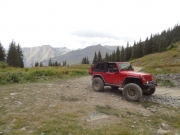
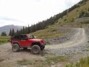
Red 2010 Jeep Wrangler Rubicon

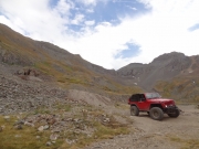
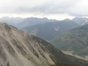
This was our last trail of the trip, and it was a fantastic way to end an amazing vacation.  We did Arrastra Gulch, and then headed over to Little Giant Basin.  For most of it, we didn't see anyone else.

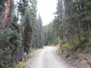
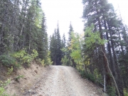
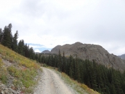
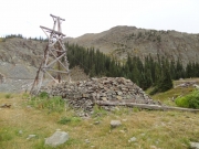
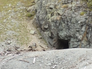
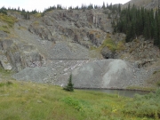
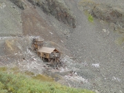
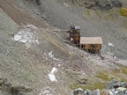
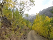
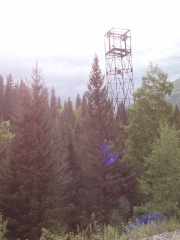
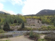
We were in the trees for a while, and then we popped out at the mine and the last remaining tramway tower.  It was chilly as the afternoon clouded over, and we didn't spend much time here.  Exploring the mine itself would need to wait for another day.

We talked briefly about turning around here to head down to dinner in Silverton, but we decided to press on.  From the maps, it looked like it might be a long trail that ended at Cunningham Gulch, another trail that had somehow escaped us even though we'd done Stony Pass a couple of times.  It promised to be a long day, but we agreed it was okay.

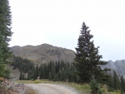
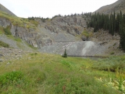
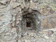
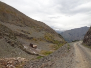
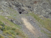
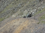
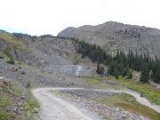
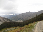
There were little mine shafts all over the place, and a big building at the bottom of the basin with no visible way to get to it.  It looked like someone was working on a restoration, but we had no idea if it was on private property or even how to get to it.  We looked down on it and chatted, but then passed it.

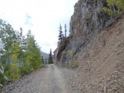
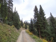
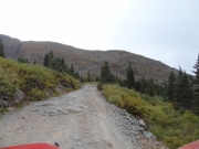
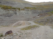
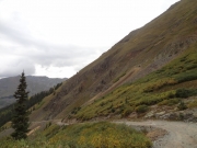
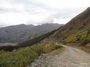
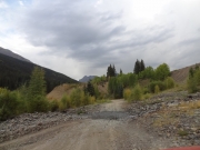
We enjoyed a few rocks in the trail, and then the trail we thought we were on went up the side of the mountain.  It was long overgrown, though, and didn't exist anymore for Jeeps.  We were on a developed and well-used trail, though, so we kept going.

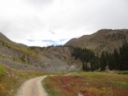
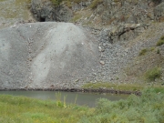
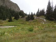
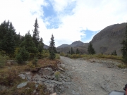
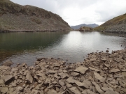
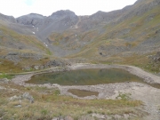
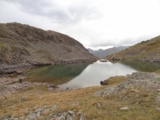
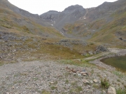
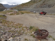
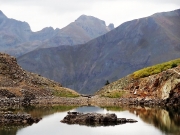
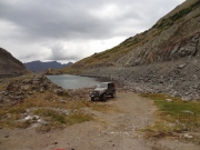
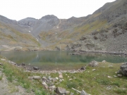
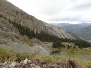
The trail soon ended at some very scenic ponds, where we got out to stretch our legs and check things out.  A lot of people could camp there, and we imagined a big bonfire well above timberline with our friends all around.  It would never be very warm up there, though, so we thought the campground we were at might be a better idea.

It was obvious that the trail wasn't going to connect to Cunningham Gulch, so the day we thought was going to be long turned out to be much shorter.  In a way, we were all relieved.  It's tough to have a marathon day on the last day of a busy vacation.

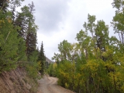
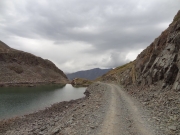
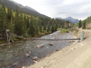
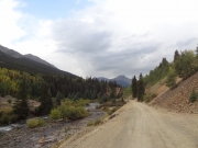
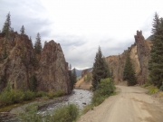
After hanging out for a while, we finally gave in to the weather and headed down into Silverton.  We took the frontage road next to the river on the way out, and it was really nice though it was short.  When we got to Silverton, we had an awesome dinner before heading back to Ouray.  It was a great time!

DSC02824
DSC02825
DSC02826
DSC02827
DSC02828
DSC02829
DSC02832
DSC02834
DSC02836
DSC02837
DSC02839
DSC02840
DSC02843
DSC02844
DSC02845
DSC02846
DSC02847
DSC02848
DSC02849
DSC02851
DSC02853
DSC02854
DSC02856
DSC02857
DSC02858
DSC02859
DSC02860
DSC02861
DSC02863
DSC02866
DSC02867
DSC02869
DSC02871
DSC02872
DSC02873
DSC02875
DSC02877
DSC02879
DSC02880
DSC02882
DSC02883
DSC02884
DSC02885
DSC02886
DSC02889
DSC02891
DSC02892
DSC02893
DSC02894
DSC02895
DSC02896
DSC02897
DSC02899
DSC02900
DSC02901
DSC02903
DSC02904
DSC02905
DSC02906
DSC02907
DSC02908
DSC02911
DSC02912
DSC02913
DSC02915
DSC02917
DSC02919
DSC02920
DSC02921
DSC02925
DSC02927
Join Us!
If you aren’t a Member or Subscriber, you can’t see all of the content on this site. Get membership information to see why this site is best when you join and log in

Information for Subscribers

When you log in you’ll see more information here:

  • Recent Community Forum posts
  • Recent polls
  • Upcoming Events you can attend
  • Links to online users

© 2000-2022 · TrailDamage.com · Terms and Conditions · About · Contact
Trail information is only accurate on the date posted. Trails may have changed or closed since that date. Use this information for historical purposes only.
Contact the Forest Service or Bureau of Land Management for up-to-date trail information.

/* ----------------------------------------- */ /* View slug: reports-other-reports-for-same-trail-slider - start */ /* ----------------------------------------- */ /* place the prev/next controls on the sides */ .td-transition-controls .wpv-filter-next-link, .td-transition-controls .wpv-filter-previous-link { border: none; font-size: 300%; position: absolute; top: 70px; } .td-transition-controls .wpv-filter-previous-link { left: 0; } .td-transition-controls .wpv-filter-next-link { right: 0; } /* center the page selector horizonatally */ .td-transition-controls ul.wpv_pagination_dots { text-align: center; margin-top: 10px; } /* center the page selector horizonatally */ .td-transition-controls ul.wpv_pagination_dots li.wpv_pagination_dots_item, .td-transition-controls .wpv_pagination_dots li a { display: inline-block; float: none; } /* remove the default styles */ .td-transition-controls .wpv_pagination_dots li a { text-decoration: none; border-bottom: none; } .td-slider-container { padding: 0 25px; margin-bottom: 20px; position: relative; width:100%; display:table; } .td-slides { position: relative; } .td-slides-image { float:left; display:table-cell; } .td-slides-image img { border:1px solid #c0c0c0; } .td-slides-content { padding:4px 4px 4px 10px; border-top:1px solid #c0c0c0; border-right:1px solid #c0c0c0; border-bottom:1px solid #c0c0c0; display:table-cell; height:227px; overflow:hidden; } .td-slides-content h3 { margin-top:8px; } .td-slides-leader { font-size:smaller; margin-top:4px; } /* ----------------------------------------- */ /* View slug: reports-other-reports-for-same-trail-slider - end */ /* ----------------------------------------- */
/* ----------------------------------------- */ /* Content Template: Template for a Single Report - start */ /* ----------------------------------------- */ .entry-header { display:none; } .entry-content h1 { margin-top:16px; padding-top:0; } h1 a { color:#222; } h1 a:hover { color:#666; } p.entry-meta { font-size:small; } #report-body-spacer { clear:both; width:100%; height:20px; } #addtoany-bar { margin-bottom:2em; text-align:center; } .category-reports .post-info .author, .post-info .date { display: none; } .addthis_recommended_horizontal { text-align:center !important; } /* ----------------------------------------- */ /* Content Template: Template for a Single Report - end */ /* ----------------------------------------- */ /* ----------------------------------------- */ /* Content Template: Loop item in REPORTS Runners - start */ /* ----------------------------------------- */ #runners-container { width:100%; clear:both; } .runner { border:1px solid #c0c0c0; margin:0 6px 6px 0; float:left; width:49%; height:81px; } .runner-image { float: left; } .runner-image img { margin:2px 10px 0 2px; height:75px; width:75px; } .runner-name { text-transform:uppercase; } .runner-name a { color:#222; } .runner-name a:hover { color:#666; } .runner-vehicle { font-size:small; } @media only screen and (max-width: 768px) { .runner { width:100%; } } /* ----------------------------------------- */ /* Content Template: Loop item in REPORTS Runners - end */ /* ----------------------------------------- */