TrailDamage.com

Photos, videos and information about 4x4 trails in Colorado and Utah

  • Trails
    • Colorado
    • Utah
  • Reports
    • Featured Photos
    • Reports Calendar
  • Members
  • Search
  • FAQ
  • Community
  • Upcoming Events
  • Membership
  • Log In
  • Facebook
  • Instagram
  • RSS
  • Twitter
  • YouTube
  • Trails
    • Colorado
    • Utah
  • Reports
    • Featured Photos
    • Reports Calendar
  • Members
  • Search
  • FAQ
  • Community
  • Upcoming Events
  • Membership
  • Log In

Left Hand Canyon 060909

September 9, 2006 by Monica

Left Hand Canyon

Trail Run on September 9, 2006
Report and photos by Monica I., Trail Leader
View trail information for Left Hand Canyon

Dane R.
Silver 2007 Jeep Wrangler Rubicon
Cheryl W.
Orange 2006 Jeep Wrangler Unlimited Rubicon

We ran Carnage Canyon first. It was muddy and slick and we had to go around a lot of the obstacles, but we still had a great time. We turned right off of Carnage Canyon once we got to the intersection with Forest Service Road 286 and continued along the Left Hand Canyon trail.

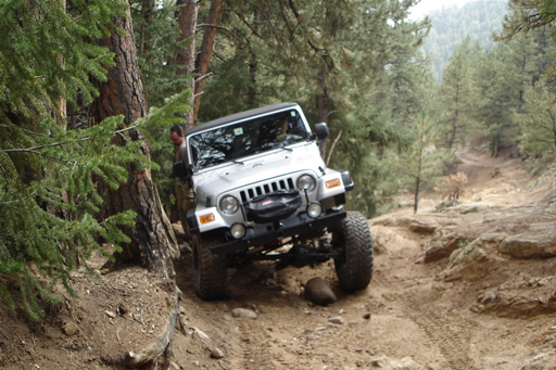
We came to Tippy Tree pretty soon, the obstacle called the "Squeeze" in the Charles Wells book. The rocks lean you very close to the tree on the right side. No one hit anything, though.

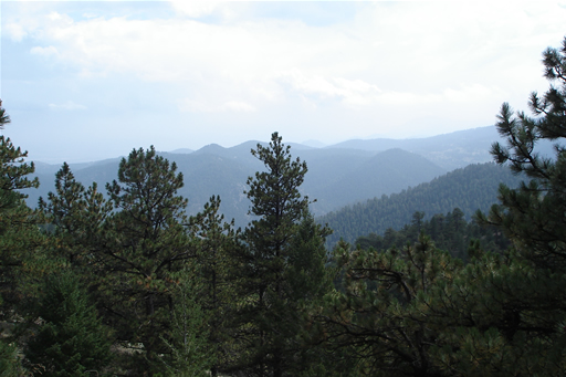
Near the top of the trail, we came to a T-shaped intersection. We turned left and drove along a shelf road with some terrific views. The trail took us to the top of the hill where the Overland Fire Restricted Area starts. The restricted area is fenced off and clearly marked.

When we got to Forest Service Road 287, we took that down the Castle Gulch trail before heading for Boulder.
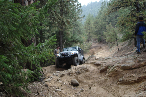
dane_past_tippy_tree_part_1
dane_past_tippy_tree_part_2
dane_past_tippy_tree_part_3
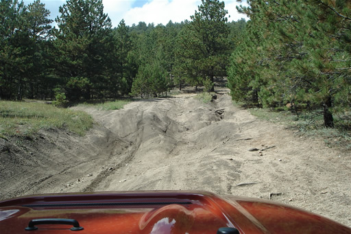
flexy_section
nice_view

Reports from Other Days: 8

Use the arrows or dots to flip through the previews of the other reports for Left Hand Canyon. Click one of them to read more and see all of the photos from that day.
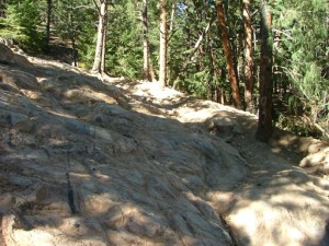
September 30, 2007

Led by Monica I.
We had already finished Carnage Canyon and Fireman Hill, and now we were ready to explore the upper section of…
« »
  • 1
  • 2
  • 3
  • 4
  • 5
  • 6
  • 7
  • 8
Join Us!
If you aren’t a Member or Subscriber, you can’t see all of the content on this site. Get membership information to see why this site is best when you join and log in

Information for Subscribers

When you log in you’ll see more information here:

  • Recent Community Forum posts
  • Recent polls
  • Upcoming Events you can attend
  • Links to online users

© 2000-2026 · TrailDamage.com · Terms and Conditions · About · Contact
Trail information is only accurate on the date posted. Trails may have changed or closed since that date. Use this information for historical purposes only.
Contact the Forest Service or Bureau of Land Management for up-to-date trail information.