TrailDamage.com

Photos, videos and information about 4x4 trails in Colorado and Utah

  • Trails
    • Colorado
    • Utah
  • Reports
    • Featured Photos
    • Featured Videos
    • Reports Calendar
  • Members
  • Search
  • Trail Damage Winners
  • FAQ
  • Community
  • Upcoming Events
  • Membership
  • Log In
  • Facebook
  • Google+
  • RSS
  • Twitter
  • YouTube

Johns Canyon 101021

October 21, 2010 by Monica

Johns Canyon

Trail Run on October 21, 2010
Report and photos by Monica I., Trail Leader
View trail information for Johns Canyon

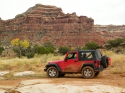
Walt S.
Gold 2004 Jeep Wrangler Rubicon
Monica I.
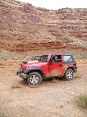
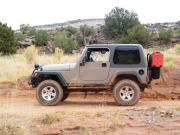
Red 2010 Jeep Wrangler Rubicon

We only saw one other vehicle and no other people on the Johns Canyon trail while we were there. It really felt like a desolate area, which was both good and bad. Still, we had Gerry cans with us that were full of gas and there were two vehicles in our group, so we didn't worry.

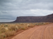
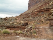
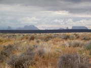
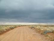
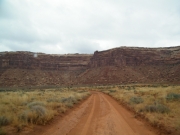
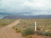
The trail was easy to find, and the first section of the trail to Cedar Point was straight with lots of visibility. We made it to the switchbacks in no time after already passing the truck on his way out.

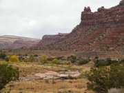
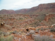
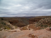
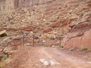
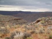
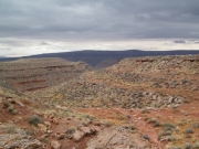
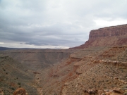
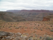
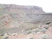
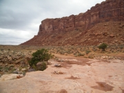
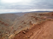
We went through the gate, closing it after us. The scenery there was impressive, though we wished we could see the water below us.

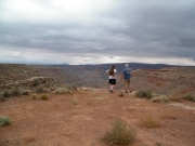
We went out to what looked like it might be an overlook, but it didn't get us close enough to the edge. We decided to stay on the main trail for the rest of our time on it.

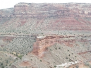
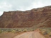
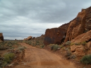
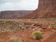
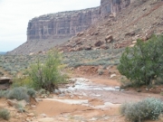
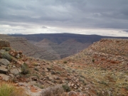
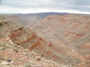
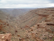
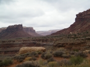
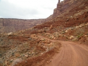
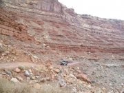
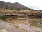
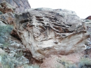
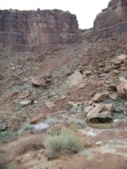
Once we turned into Johns Canyon itself, the canyon walls were closer. We all noticed the Rock Slide right away, though we didn't know for sure if it was where we were headed or not. It was an interesting part of the canyon wall, and we were all fascinated by it as we passed it on the other side of the canyon.

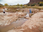
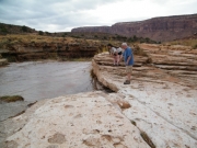
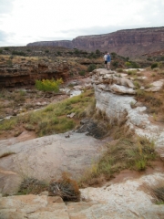
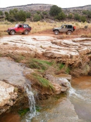
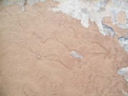
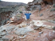
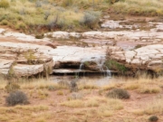
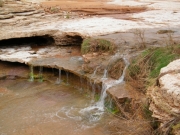
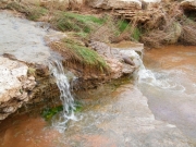
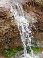
Then we got to the waterfall and we all got out to see the sights. It looked like someone had camped there recently, so we assumed the truck was in here. It would have been a nice camp spot. Then we noticed lots and lots of tracks from small snakes in the wet sand. Maybe it's not a great camp spot after all.

The waterfall was small because of the time of the year, but we imagined it was pretty big at times. That water fed down Johns Canyon into the big canyon in Glen Canyon.

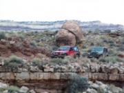
We were losing our daylight so we hopped back into our Jeeps and kept going. We worked our way around to the other side of the canyon, discussing the Rock Slide and if we could get past it. When we got to just above it, we got out and walked it.

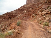
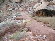
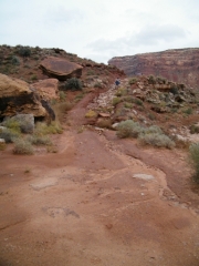
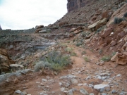
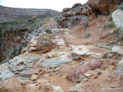
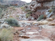
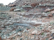
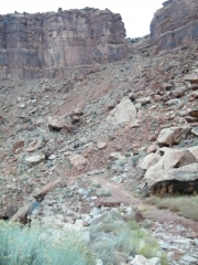
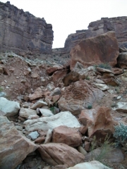
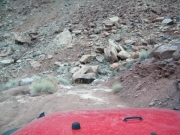
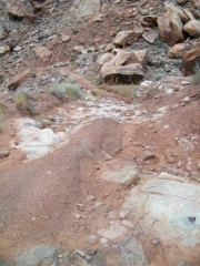
We all decided immediately that we wouldn't try it. It was a bit of a descent down an eroded and rocky hill to the Rock Slide itself, where the trail was fine but overgrown. Then, when you started back uphill, the section of trail had really eroded. The rocks were exposed, making ledges that would drop you or slide you out to the cliff's edge. Then the climb back up was also eroded and tricky.

We knew that the trail would end, eventually, and we'd have to come back out. It was almost dark, and it would be pitch black the next time we were through. Even if it was noon and it hadn't rained in weeks we still wouldn't have tried it. The darkness and the mud made it impossible for us, so we did our exploring and turned around to head out.

It didn't take us long to get back to the trailhead. The shelf road was a bit creepy in the total darkness, making it even more interesting on the way out.

We hadn't aired down very much, so we jumped onto the highway to head to Bluff for dinner at the Twin Rocks Cafe. They even had Band-Aids for Monica, which was an added bonus.

It had started to rain, and that rain would last through the night and into the next day. It would mess up our plans for that day, but until then we'd try to get some sleep. What a wonderfully surprising day all around.

approaching_the_waterfall
cedar_mesa
cedar_point_part_1
cedar_point_part_2
chunky
circling_around
close_to_the_edge
dark_dirt
distant_bluffs
drop_off
easy_start
exploring_at_the_waterfall_part_1
exploring_at_the_waterfall_part_2
exploring_at_the_waterfall_part_3
fun_stuff
gate
goosenecks_part_1
goosenecks_part_2
goosenecks_part_3
goosenecks_part_4
goosenecks_part_5
goosenecks_part_6
goosenecks_part_7
holes
johns_canyon
layers
leaning_rock
mellow_section
monica_at_the_waterfall
muley_point
narrow_climb
parked_above_the_rock_slide
parked_at_the_waterfall
parked
past_the_waterfall
rock_slide_part_1
rock_slide_part_2
rock_slide_part_3
rock_slide_part_4
rock_slide_part_5
rock_slide_part_6
rock_slide_part_7
rock_slide_part_8
rock_slide_part_9
rock_slide_rocks
rocks_coming_together
shelf_road
sightseeing
skinny_curves
snakes_were_here
start_of_the_trail
stop_if_you_see_this_downhill
trailhead
walt_at_the_rock_slide
walt_at_the_waterfall
walt_on_the_trail
waterfall_part_1
waterfall_part_2
waterfall_part_3
waterfall_part_4
waterfall_part_5
weird_rock
Join Us!
If you aren’t a Member or Subscriber, you can’t see all of the content on this site. Get membership information to see why this site is best when you join and log in

Information for Subscribers

When you log in you’ll see more information here:

  • Recent Community Forum posts
  • Recent polls
  • Upcoming Events you can attend
  • Links to online users

© 2000-2019 · TrailDamage.com · Terms and Conditions · About · Contact
Trail information is only accurate on the date posted. Trails may have changed or closed since that date. Use this information for historical purposes only.
Contact the Forest Service or Bureau of Land Management for up-to-date trail information.

/* ----------------------------------------- */ /* View slug: reports-other-reports-for-same-trail-slider - start */ /* ----------------------------------------- */ /* place the prev/next controls on the sides */ .td-transition-controls .wpv-filter-next-link, .td-transition-controls .wpv-filter-previous-link { border: none; font-size: 300%; position: absolute; top: 70px; } .td-transition-controls .wpv-filter-previous-link { left: 0; } .td-transition-controls .wpv-filter-next-link { right: 0; } /* center the page selector horizonatally */ .td-transition-controls ul.wpv_pagination_dots { text-align: center; margin-top: 10px; } /* center the page selector horizonatally */ .td-transition-controls ul.wpv_pagination_dots li.wpv_pagination_dots_item, .td-transition-controls .wpv_pagination_dots li a { display: inline-block; float: none; } /* remove the default styles */ .td-transition-controls .wpv_pagination_dots li a { text-decoration: none; border-bottom: none; } .td-slider-container { padding: 0 25px; margin-bottom: 20px; position: relative; width:100%; display:table; } .td-slides { position: relative; } .td-slides-image { float:left; display:table-cell; } .td-slides-image img { border:1px solid #c0c0c0; } .td-slides-content { padding:4px 4px 4px 10px; border-top:1px solid #c0c0c0; border-right:1px solid #c0c0c0; border-bottom:1px solid #c0c0c0; display:table-cell; height:227px; overflow:hidden; } .td-slides-content h3 { margin-top:8px; } .td-slides-leader { font-size:smaller; margin-top:4px; } /* ----------------------------------------- */ /* View slug: reports-other-reports-for-same-trail-slider - end */ /* ----------------------------------------- */
/* ----------------------------------------- */ /* Content Template: Template for a Single Report - start */ /* ----------------------------------------- */ .entry-header { display:none; } .entry-content h1 { margin-top:16px; padding-top:0; } h1 a { color:#222; } h1 a:hover { color:#666; } p.entry-meta { font-size:small; } #report-body-spacer { clear:both; width:100%; height:20px; } #addtoany-bar { margin-bottom:2em; text-align:center; } .category-reports .post-info .author, .post-info .date { display: none; } .addthis_recommended_horizontal { text-align:center !important; } /* ----------------------------------------- */ /* Content Template: Template for a Single Report - end */ /* ----------------------------------------- */ /* ----------------------------------------- */ /* Content Template: Loop item in REPORTS Runners - start */ /* ----------------------------------------- */ #runners-container { width:100%; clear:both; } .runner { border:1px solid #c0c0c0; margin:0 6px 6px 0; float:left; width:49%; height:81px; } .runner-image { float: left; } .runner-image img { margin:2px 10px 0 2px; height:75px; width:75px; } .runner-name { text-transform:uppercase; } .runner-name a { color:#222; } .runner-name a:hover { color:#666; } .runner-vehicle { font-size:small; } @media only screen and (max-width: 768px) { .runner { width:100%; } } /* ----------------------------------------- */ /* Content Template: Loop item in REPORTS Runners - end */ /* ----------------------------------------- */