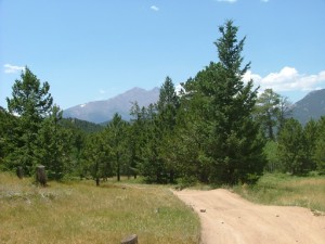
Johnny Park Road

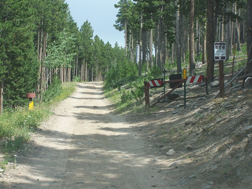
Pole Hill and Pierson Park Road were the first two legs of our run today, and we were ready for the third and last leg to complete the loop. We headed southeast on County Road 82 and it wasn't long before we were at the trailhead.
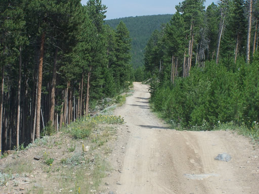
The trail starts as an easy one and becomes moderate as you head east. Most prefer to run this trail from east to west making it mostly uphill and a little more challenging. We were heading west to east to finish our loop.
This was the loneliest trail of the day. We didn't see anyone camping like we did on the other trails, and it seemed odd because Johnny Park Road is a fairly popular trail.
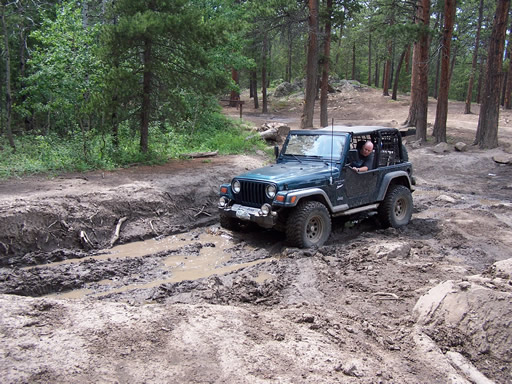
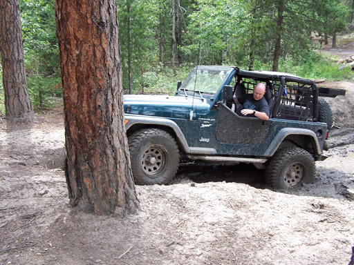
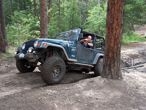
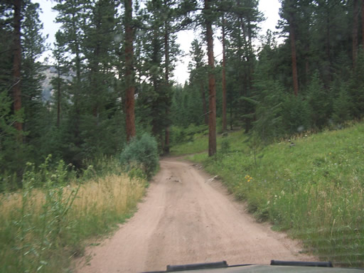
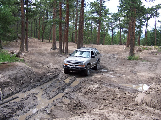
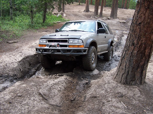
We drove through the woods awhile and reached the optional mud puddle. Jed drove through first and managed to fling mud on himself trying to exit the mud hole. He was all smiles wiping the mud off his arm. Walt couldn't let Jed have all the fun, so off into the muck he went. He didn't get any mud on him, but he had a good time anyway.
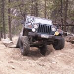
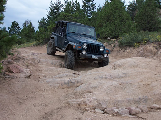
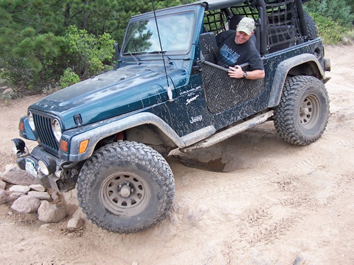
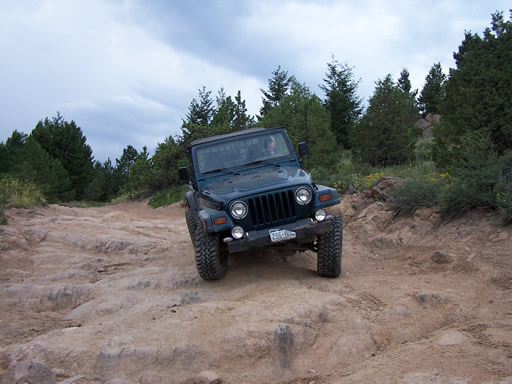
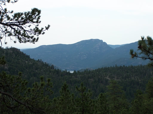
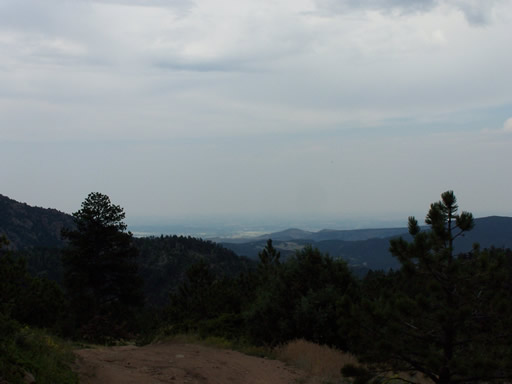
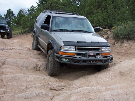
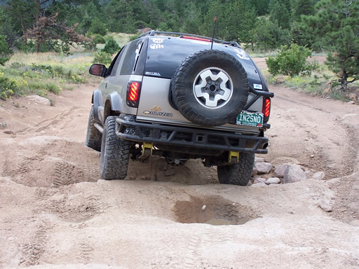
After playing in the mud we headed up the short climb to the top and took some pictures of the view along the trail. Heading down the trail we reached the rockiest section and took some more pictures of Jed and Walt playing on the rocks. We tried to get one of our back tires in the air but no matter how hard we tried it just would not happen. The holes just weren't as large as we thought they were.
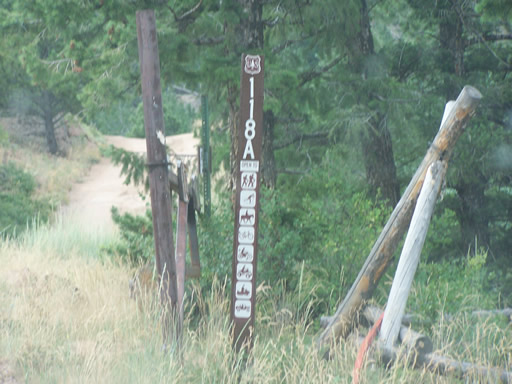
We continued down the trail and it wasn't long until we were at the largest camping area. You could exit the trail here or keep going through to the other side of the camping area to Forest Road 118A. This road is by far the best way to exit or enter Johnny Park Road.
When we reached the top of this trail, there was an intersection where we headed left to finish the trail. The trail to the right looked really inviting and Topo maps show that it connects to North St. Vrain Creek Road. That trail probably dead ends. We will have to check it out the next time we run Johnny Park Road.
We reached the end of the trail and we had big smiles on our faces as we aired up and reconnected. There is nothing better than wheeling when almost everyone else is working.
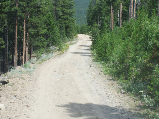


Reports from Other Days: 6
Use the arrows or dots to flip through the previews of the other reports for Johnny Park Road. Click one of them to read more and see all of the photos from that day.