TrailDamage.com

Photos, videos and information about 4x4 trails in Colorado and Utah

  • Trails
    • Colorado
    • Utah
  • Reports
    • Featured Photos
    • Featured Videos
    • Reports Calendar
  • Members
  • Search
  • Trail Damage Winners
  • FAQ
  • Community
  • Upcoming Events
  • Membership
  • Log In
  • Facebook
  • Instagram
  • RSS
  • Twitter
  • YouTube

Horsefly Point 161017

October 17, 2016 by Monica

Horsefly Point

Trail Run on October 17, 2016
Report and photos by Monica I., Trail Leader
View trail information for Horsefly Point

Roger R.
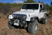
White 2005 Jeep Wrangler Unlimited Rubicon
Walt S.
Gray 2018 Jeep Wrangler Unlimited Rubicon
Monica I.
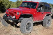
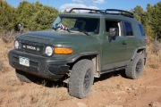
Red 2010 Jeep Wrangler Rubicon

It had been a long and fun four days spent largely in the Uncompahgre National Forest. We'd even made a trip to Moab via the Rimrocker Trail. We had a bit of daylight left in our last day, and we decided to make it count. It looked like we could get a good view of the valley housing the town of Norwood from Horsefly Point, and it looked like a relatively short trail near civilization. That met our requirements, so we headed back into Sanborn Park Road again.

We'd started our day on Sanborn Park Road, so it was a bit odd to be heading back in again in the late afternoon. We cruised along the San Miguel River and then up the switchbacks without seeing anyone on their way down. We made a fairly quick trip up to the trailhead near the top of the switchbacks.

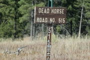
Horsefly Point is actually a side trail off of Dead Horse Road, but Dead Horse Road was too long to do in the fading light. We would need to save that one for a different trip. So, Horsefly Point would use part of Dead Horse Road at its start and we'd redo Horsefly Point at a later date to show where it actually starts. It's always a bummer running out of time to do everything we want to do, especially when we're right next to it.

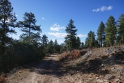
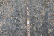
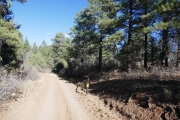
We made the turn to Horsefly Point and started in. We saw a lot of other spurs intersecting with the main one on many of our maps, but the Motor Vehicle Use Map was accurate this time. There was only one path across that part of the mesa. We stopped to look for the old trails at most of them, but they were all long gone. Unfortunately, they all led to what looked like good views of the canyon below us, so we weren't sure if we'd actually find something good at the end.

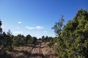
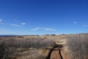
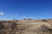
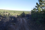
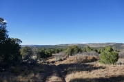
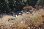
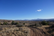
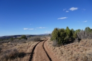
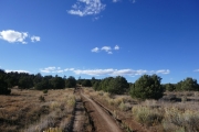
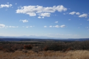
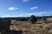
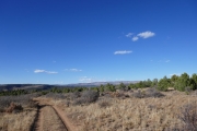
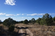
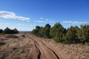
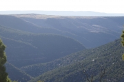
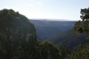
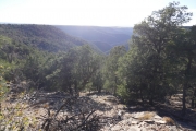
The farther we went, the more overgrown the trail became. It was never completely overgrown, but we could tell that it didn't see a lot of use. At the last minute, the trail turned away from the big San Miguel Canyon and headed to the smaller Horsefly Creek Canyon instead. That meant that instead of amazing views we found views that were less than inspiring.

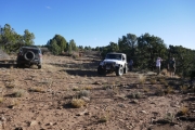
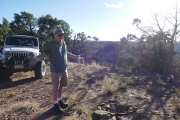
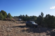
It was nice at the end of the trail, but we'd seen so many amazing things all week so we weren't impressed. We hung out for a short while, knowing it was our last adventure for the year. Then we turned around and headed back, still looking for spurs to better views and coming up short.

Even a less-than-stellar trail is better than no trail at all, so we were satisfied. We headed back down Sanborn Park Road and pulled off to a flat spot near the river to air up. It was getting chilly as the sun was going down in the canyon, so we hurried. Then we headed back to town, planning to leave in the morning.

It was a great trip, and we knew we'd be back someday to finish the trails. This is an area of Colorado that needs more attention from the 4x4 community. Hopefully the Rimrocker Trail brings more people to the area. It's a great spot.

almost_at_the_end
blue_sky
bumpy
fall_colors
forest_service_sign
heading_back
little-used_trail
logs
lone_cone_in_the_distance
low_brush
monica_on_the_trail
parked_at_the_end
roger_not_impressed
roger_on_the_trail
ruts
san_juan_mountains
scenic
see_for_miles
shadows
someone_found_mud
start_of_the_trail
trailhead_sign
view_at_the_end_part_1
view_at_the_end_part_2
view_at_the_end_part_3
walt_and_roger_to_the_end
walt_on_the_trail
Join Us!
If you aren’t a Member or Subscriber, you can’t see all of the content on this site. Get membership information to see why this site is best when you join and log in

Information for Subscribers

When you log in you’ll see more information here:

  • Recent Community Forum posts
  • Recent polls
  • Upcoming Events you can attend
  • Links to online users

© 2000-2021 · TrailDamage.com · Terms and Conditions · About · Contact
Trail information is only accurate on the date posted. Trails may have changed or closed since that date. Use this information for historical purposes only.
Contact the Forest Service or Bureau of Land Management for up-to-date trail information.

/* ----------------------------------------- */ /* View slug: reports-other-reports-for-same-trail-slider - start */ /* ----------------------------------------- */ /* place the prev/next controls on the sides */ .td-transition-controls .wpv-filter-next-link, .td-transition-controls .wpv-filter-previous-link { border: none; font-size: 300%; position: absolute; top: 70px; } .td-transition-controls .wpv-filter-previous-link { left: 0; } .td-transition-controls .wpv-filter-next-link { right: 0; } /* center the page selector horizonatally */ .td-transition-controls ul.wpv_pagination_dots { text-align: center; margin-top: 10px; } /* center the page selector horizonatally */ .td-transition-controls ul.wpv_pagination_dots li.wpv_pagination_dots_item, .td-transition-controls .wpv_pagination_dots li a { display: inline-block; float: none; } /* remove the default styles */ .td-transition-controls .wpv_pagination_dots li a { text-decoration: none; border-bottom: none; } .td-slider-container { padding: 0 25px; margin-bottom: 20px; position: relative; width:100%; display:table; } .td-slides { position: relative; } .td-slides-image { float:left; display:table-cell; } .td-slides-image img { border:1px solid #c0c0c0; } .td-slides-content { padding:4px 4px 4px 10px; border-top:1px solid #c0c0c0; border-right:1px solid #c0c0c0; border-bottom:1px solid #c0c0c0; display:table-cell; height:227px; overflow:hidden; } .td-slides-content h3 { margin-top:8px; } .td-slides-leader { font-size:smaller; margin-top:4px; } /* ----------------------------------------- */ /* View slug: reports-other-reports-for-same-trail-slider - end */ /* ----------------------------------------- */
/* ----------------------------------------- */ /* Content Template: Template for a Single Report - start */ /* ----------------------------------------- */ .entry-header { display:none; } .entry-content h1 { margin-top:16px; padding-top:0; } h1 a { color:#222; } h1 a:hover { color:#666; } p.entry-meta { font-size:small; } #report-body-spacer { clear:both; width:100%; height:20px; } #addtoany-bar { margin-bottom:2em; text-align:center; } .category-reports .post-info .author, .post-info .date { display: none; } .addthis_recommended_horizontal { text-align:center !important; } /* ----------------------------------------- */ /* Content Template: Template for a Single Report - end */ /* ----------------------------------------- */ /* ----------------------------------------- */ /* Content Template: Loop item in REPORTS Runners - start */ /* ----------------------------------------- */ #runners-container { width:100%; clear:both; } .runner { border:1px solid #c0c0c0; margin:0 6px 6px 0; float:left; width:49%; height:81px; } .runner-image { float: left; } .runner-image img { margin:2px 10px 0 2px; height:75px; width:75px; } .runner-name { text-transform:uppercase; } .runner-name a { color:#222; } .runner-name a:hover { color:#666; } .runner-vehicle { font-size:small; } @media only screen and (max-width: 768px) { .runner { width:100%; } } /* ----------------------------------------- */ /* Content Template: Loop item in REPORTS Runners - end */ /* ----------------------------------------- */