TrailDamage.com

Photos, videos and information about 4x4 trails in Colorado and Utah

  • Trails
    • Colorado
    • Utah
  • Reports
    • Featured Photos
    • Featured Videos
    • Reports Calendar
  • Members
  • Search
  • Trail Damage Winners
  • FAQ
  • Community
  • Upcoming Events
  • Membership
  • Log In
  • Facebook
  • Google+
  • RSS
  • Twitter
  • YouTube

Gordon Flats 160515

May 15, 2016 by Monica Israels

Gordon Flats

Trail Run on May 15, 2016
Report and photos by Monica I., Trail Leader
View trail information for Gordon Flats

Frank N.
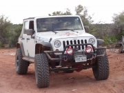
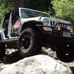
White 2010 Jeep Wrangler Unlimited Rubicon
Walt S.
Gold 2004 Jeep Wrangler Rubicon
Monica I.
Red 2010 Jeep Wrangler Rubicon

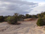
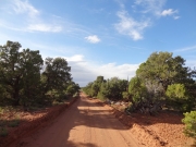
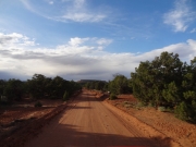
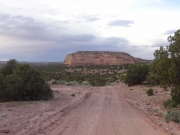
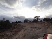
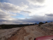
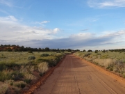
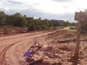
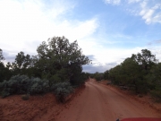
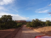
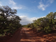
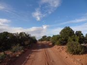
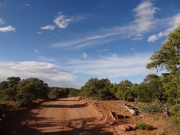
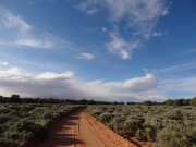
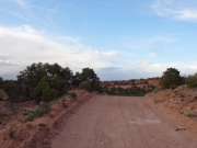
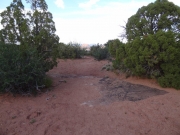
We'd been on Gordon Flats the night before, but it was so dark we didn't get a single picture. We also didn't stop at any of the overlooks or other attractions on the previous trip because there wasn't much point. Now, there was plenty of daylight left to explore a lot of it. We came off of the hill climb on Flint Trail and did Gordon Flats from there north to Hans Flat Ranger Station.

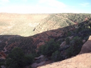
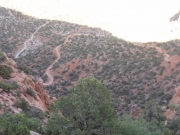
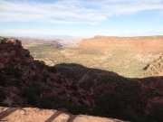
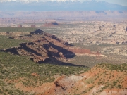
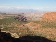
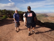
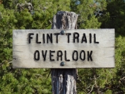
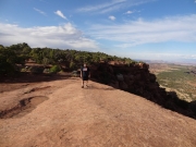
Of course, the first stop was the Flint Trail Overlook. It was really cool to see the trail from above, and we took a lot of pictures. It was a slo a great way to see Ernie's Country and all of the canyons and valleys laid out before us. We could see for so many miles, and we hung out for a while just enjoying the view. It was also nice to know that we'd have easy trail all the way back to Hanksville.

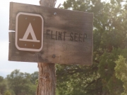
We slowed down at the turnoff for Flint Seep, but we knew it was a longer spur. We knew we'd be back in the area someday, so we'd save it for another time.

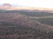
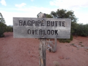
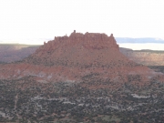
We crossed from Garfield County into Wayne County, looking for the Bagpipe Butte Overlook. We finally found it, and we got out to check it out. We'd seen the butte when we did Big Water Canyon the day before, and we knew it was a sight to see. Everyone took a lot of pictures, enjoying the view in the long shadows.

After that, it was a little bit of time before we got to the turn off for Cleopatra's Chair and Panorama Point. We were holding out some hope for the time to be able to do the trail, still, but it was just too late in the day. We actually wanted to see Hans Flat, so we skipped it. It was a bummer, but we knew we'd be back someday.

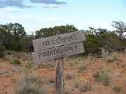
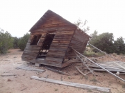
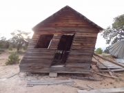
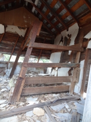
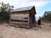
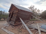
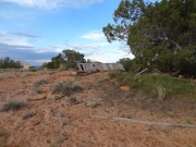
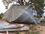
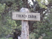
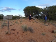
French Cabin was right after that, so we stopped to explore. The cabin is going to fall over any minute, so no one dared go in it. It says "Walt" on it, so we determined that it was Walt's cabin after all. There was a lot of joking and poking fun at that point, and it was a festive stop.

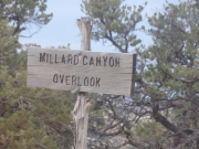
We went by the Millard Canyon Overlook, and it didn't take long to get to the Hans Flat Ranger Station. It was long closed, and the sun was on its way down, so we didn't get out. There obviously wasn't any time to explore The Spur to the north, so we headed on to Hans Flat.

across_slickrock
bagpipe_butte_overlook_part_1
bagpipe_butte_overlook_part_2
bagpipe_butte_overlook_sign
bagpipe_butte
between_trees
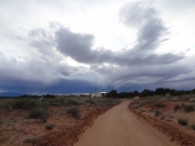
big_clouds
bluff
bumpy
classic_utah
easy_road
flint_seep_sign
flint_seep
flint_trail_overlook_part_1
flint_trail_overlook_part_2
flint_trail_overlook_part_3
flint_trail_overlook_part_4
flint_trail_overlook_part_5
flint_trail_overlook_part_6
flint_trail_overlook_part_7
flint_trail_overlook_sign
frank_at_flint_trail_overlook
frank_on_the_trail
french_cabin_parking_sign
french_cabin_parking
french_cabin_part_1
french_cabin_part_2
french_cabin_part_3
french_cabin_part_4
french_cabin_part_5
french_cabin_part_6
french_cabin_part_7
french_cabin_sign
getting_dark
graded
hans_flat_ranger_station
long_shadows
mellow
millard_canyon_overlook_sign
near_the_end
open_space
purple_flowers
rise
side_road
to_bagpipe_butte_overlook
walking_around_french_cabin_site
walt_and_georgina
Join Us!
If you aren’t a Member or Subscriber, you can’t see all of the content on this site. Get membership information to see why this site is best when you join and log in
Information for Subscribers

When you log in you’ll see more information here:

  • Recent Community Forum posts
  • Recent polls
  • Upcoming Events you can attend
  • Links to online users

© 2000-2018 · TrailDamage.com · Terms and Conditions · About · Contact
Trail information is only accurate on the date posted. Trails may have changed or closed since that date. Use this information for historical purposes only.
Contact the Forest Service or Bureau of Land Management for up-to-date trail information.

/* ----------------------------------------- */ /* View: REPORTS Other Reports for Same Trail Slider - start */ /* ----------------------------------------- */ /* place the prev/next controls on the sides */ .td-transition-controls .wpv-filter-next-link, .td-transition-controls .wpv-filter-previous-link { border: none; font-size: 300%; position: absolute; top: 70px; } .td-transition-controls .wpv-filter-previous-link { left: 0; } .td-transition-controls .wpv-filter-next-link { right: 0; } /* center the page selector horizonatally */ .td-transition-controls ul.wpv_pagination_dots { text-align: center; margin-top: 10px; } /* center the page selector horizonatally */ .td-transition-controls ul.wpv_pagination_dots li.wpv_pagination_dots_item, .td-transition-controls .wpv_pagination_dots li a { display: inline-block; float: none; } /* remove the default styles */ .td-transition-controls .wpv_pagination_dots li a { text-decoration: none; border-bottom: none; } .td-slider-container { padding: 0 25px; margin-bottom: 20px; position: relative; width:100%; display:table; } .td-slides { position: relative; } .td-slides-image { float:left; display:table-cell; } .td-slides-image img { border:1px solid #c0c0c0; } .td-slides-content { padding:4px 4px 4px 10px; border-top:1px solid #c0c0c0; border-right:1px solid #c0c0c0; border-bottom:1px solid #c0c0c0; display:table-cell; height:227px; overflow:hidden; } .td-slides-content h3 { margin-top:8px; } .td-slides-leader { font-size:smaller; margin-top:4px; } /* ----------------------------------------- */ /* View: REPORTS Other Reports for Same Trail Slider - end */ /* ----------------------------------------- */
/* ----------------------------------------- */ /* Content Template: Template for a Single Report - start */ /* ----------------------------------------- */ .entry-header { display:none; } .entry-content h1 { margin-top:16px; padding-top:0; } h1 a { color:#222; } h1 a:hover { color:#666; } p.entry-meta { font-size:small; } #report-body-spacer { clear:both; width:100%; height:20px; } #addtoany-bar { margin-bottom:2em; text-align:center; } .category-reports .post-info .author, .post-info .date { display: none; } .addthis_recommended_horizontal { text-align:center !important; } /* ----------------------------------------- */ /* Content Template: Template for a Single Report - end */ /* ----------------------------------------- */ /* ----------------------------------------- */ /* Content Template: Loop item in REPORTS Runners - start */ /* ----------------------------------------- */ #runners-container { width:100%; clear:both; } .runner { border:1px solid #c0c0c0; margin:0 6px 6px 0; float:left; width:49%; height:81px; } .runner-image { float: left; } .runner-image img { margin:2px 10px 0 2px; height:75px; width:75px; } .runner-name { text-transform:uppercase; } .runner-name a { color:#222; } .runner-name a:hover { color:#666; } .runner-vehicle { font-size:small; } @media only screen and (max-width: 768px) { .runner { width:100%; } } /* ----------------------------------------- */ /* Content Template: Loop item in REPORTS Runners - end */ /* ----------------------------------------- */ /* ----------------------------------------- */ /* Content Template: Loop item in REPORTS Other Reports for Same Trail Slider - start */ /* ----------------------------------------- */ /* ----------------------------------------- */ /* Content Template: Loop item in REPORTS Other Reports for Same Trail Slider - end */ /* ----------------------------------------- */