Goodenough Gulch
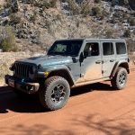


The goal of our day was to do the big loop made by Sanborn Park Road and Dave Wood Road, and we'd just finished it. That meant that anything else was just extra fun. We had to go west to get back to Naturita anyway, so we decided to check out Goodenough Gulch. It cuts off the intersection of Highways 62 and 145, catching just a bit of the southern tip of the Uncompahgre National Forest. It ended up being a great little diversion.
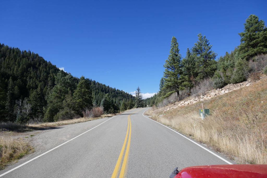
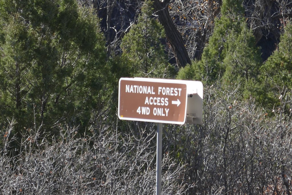
The trailhead was at a paved road, so we weren't sure going in if the whole thing would be paved or not. It immediately headed up a very steep hill of switchbacks, which was surprising. We cruised up Haskill Hill in a pretty short distance for the elevation change, and that meant the trail was already interesting. Then it turned to a dirt track for the rest of the trail.
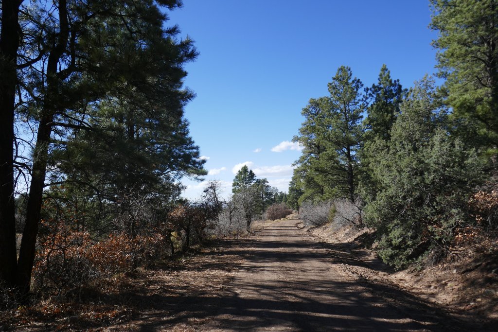
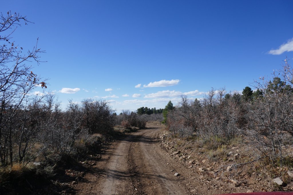
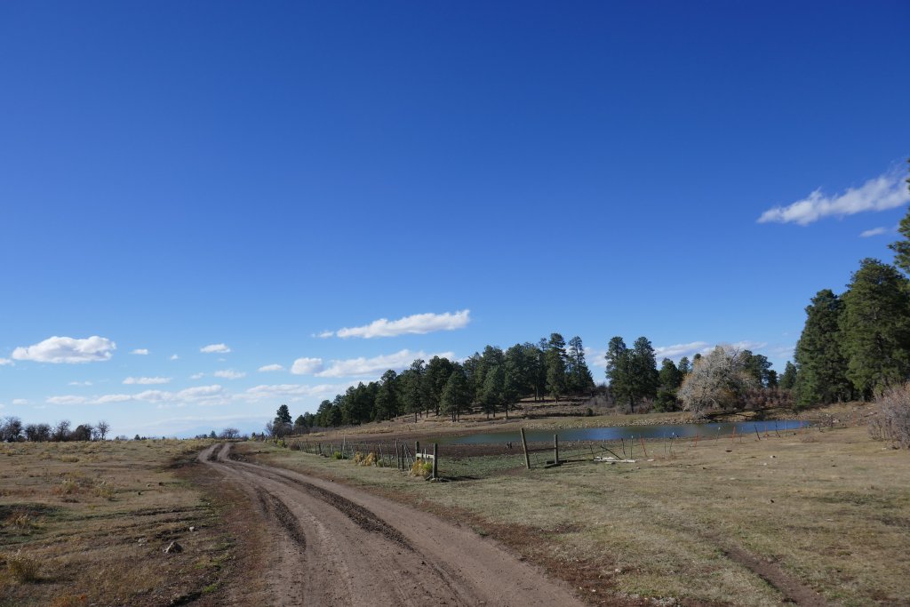
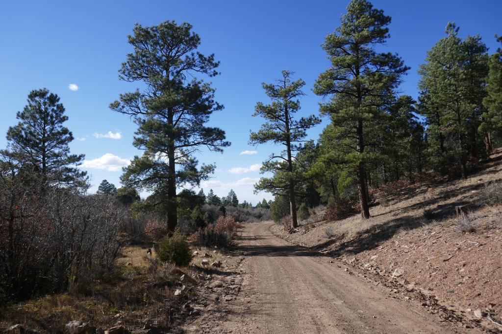
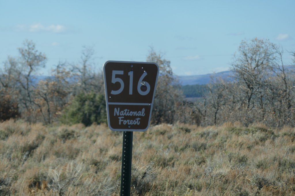
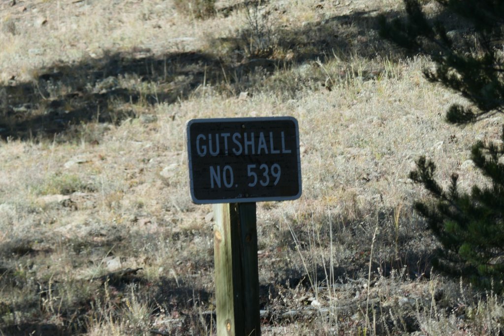
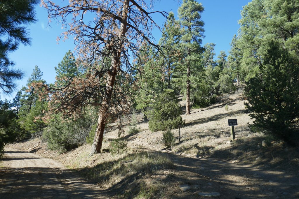
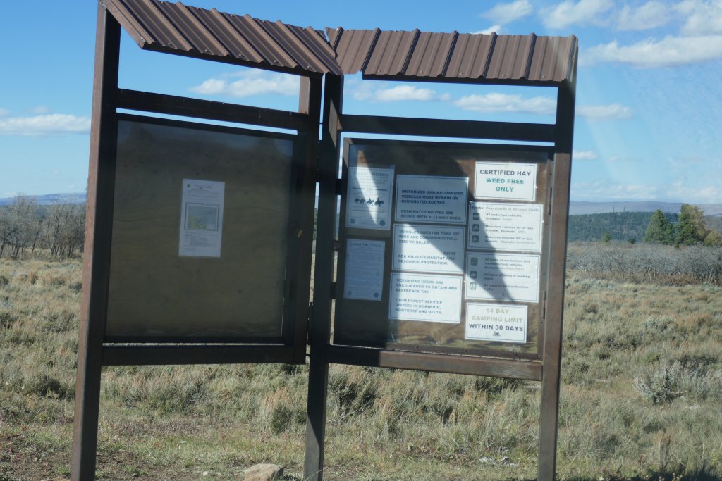
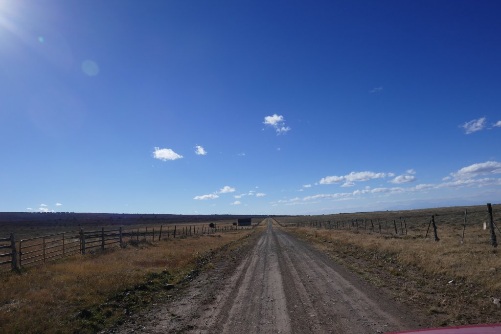
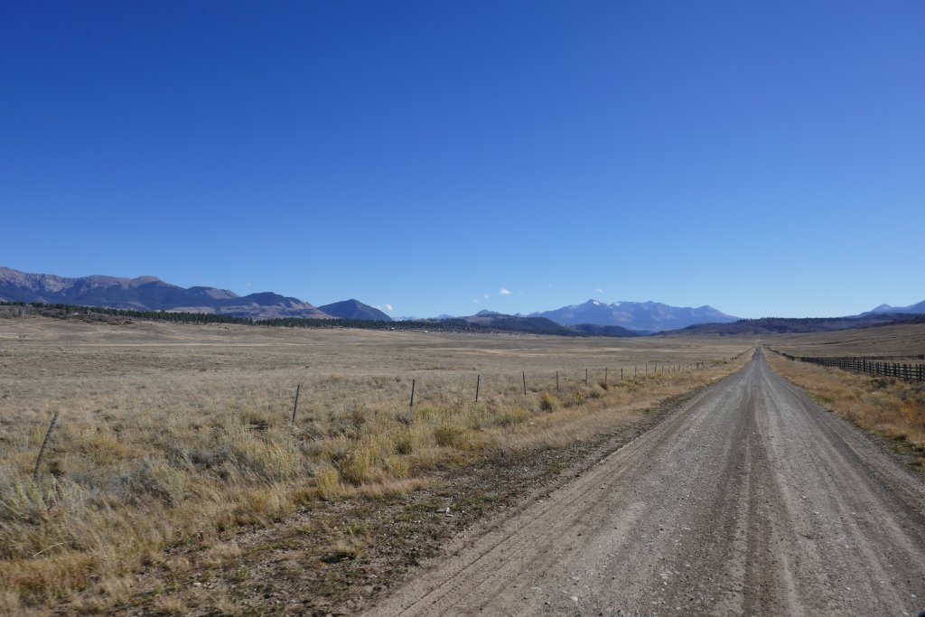
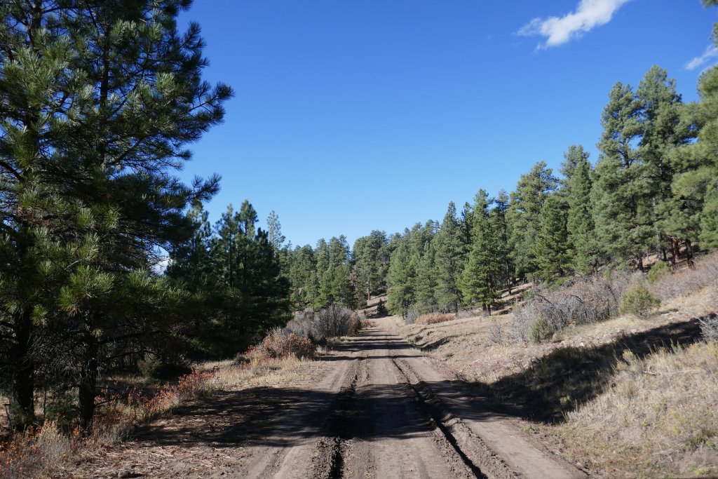
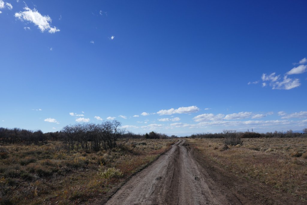
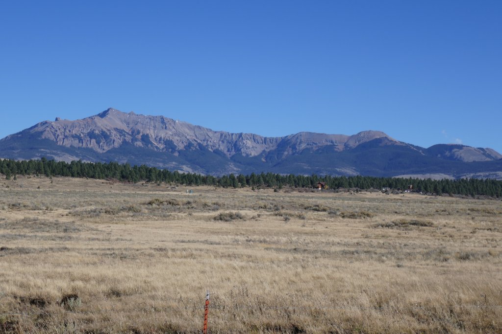
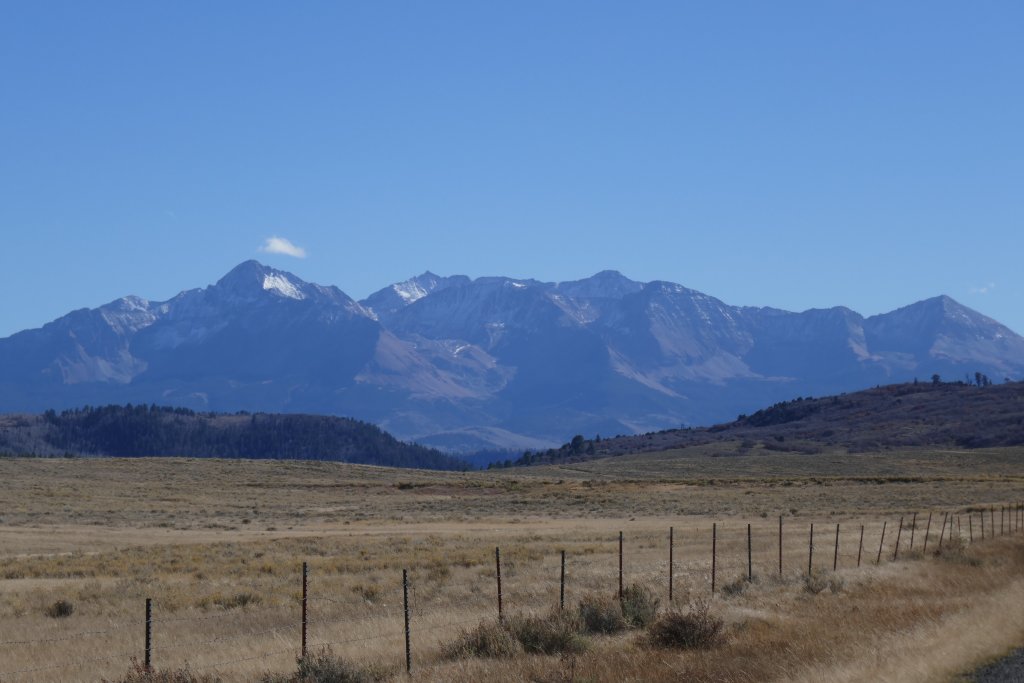
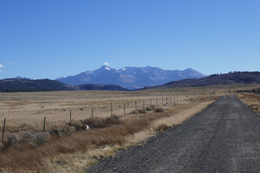
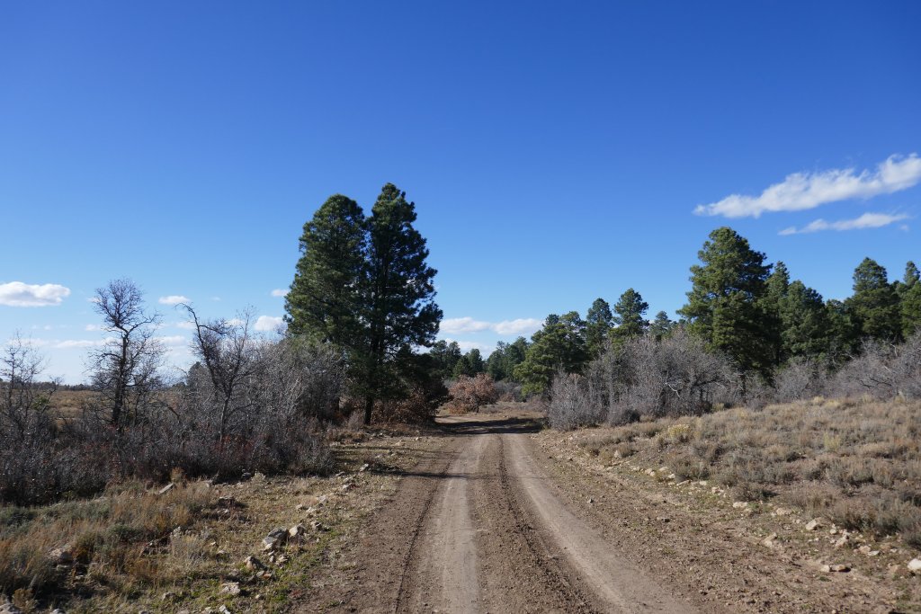
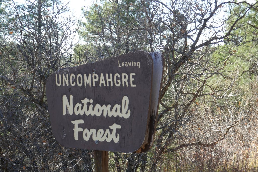
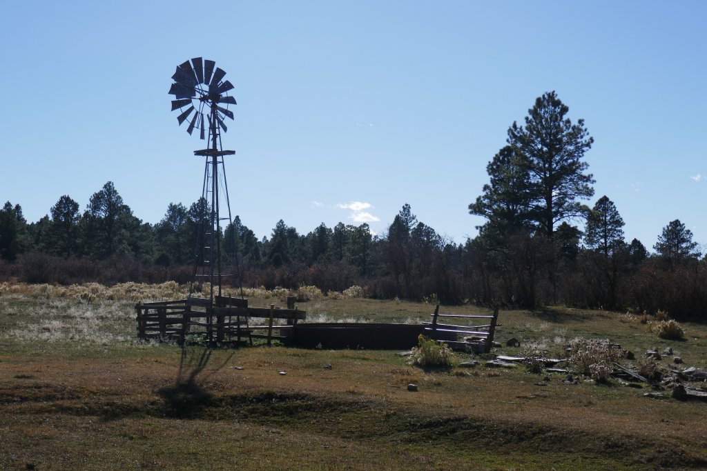
We worked our way along farm roads on Iron Springs Mesa, passing the remnants of an old school. It seemed like it would be a boring trail with good scenery, and then we moved into the national forest at a kiosk. Then it was in the trees and out of ranch land. It was a nice drive, but not too challenging.
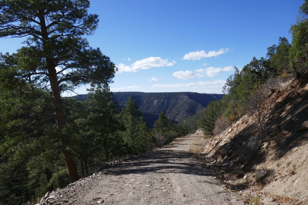
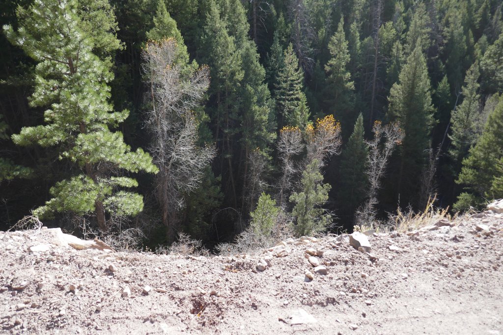
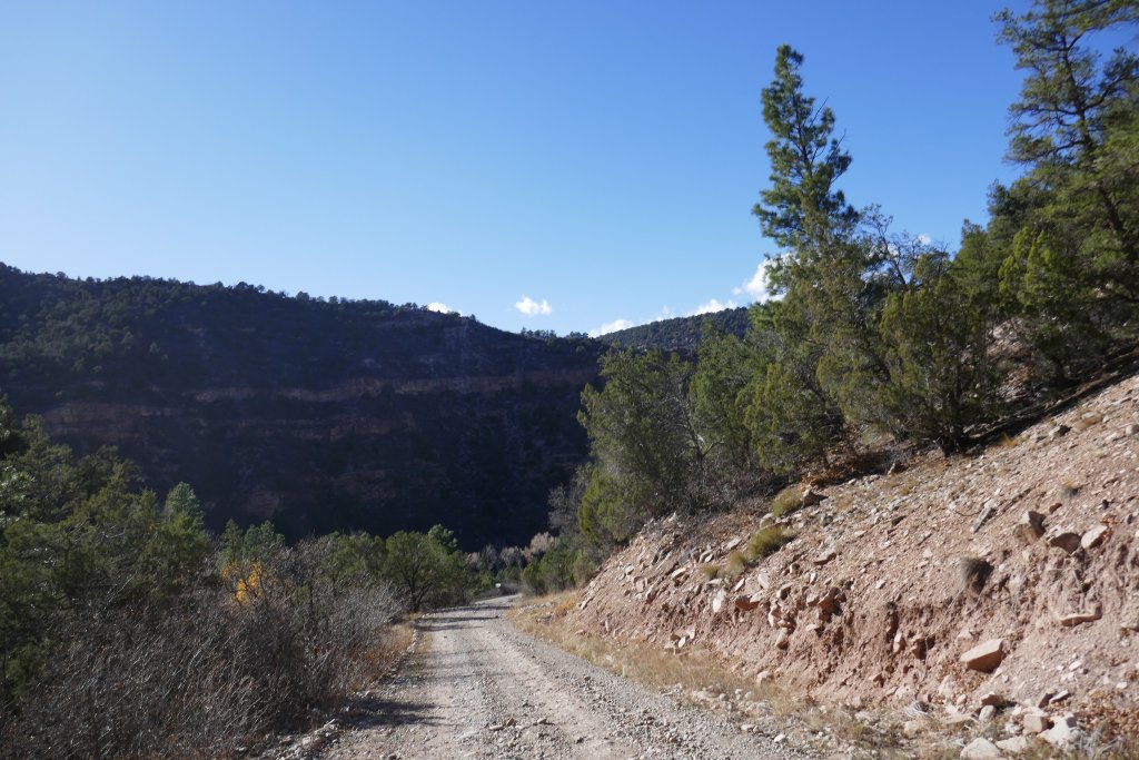
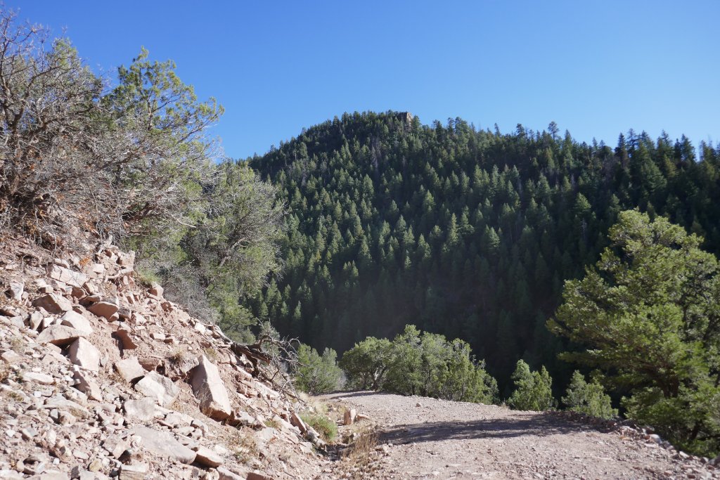
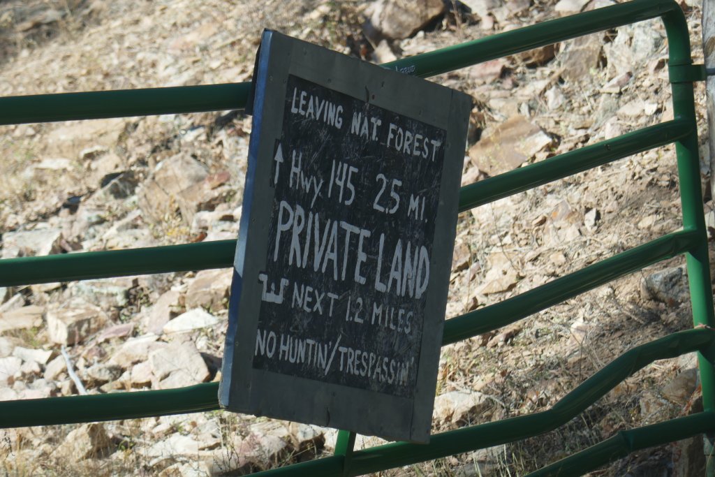
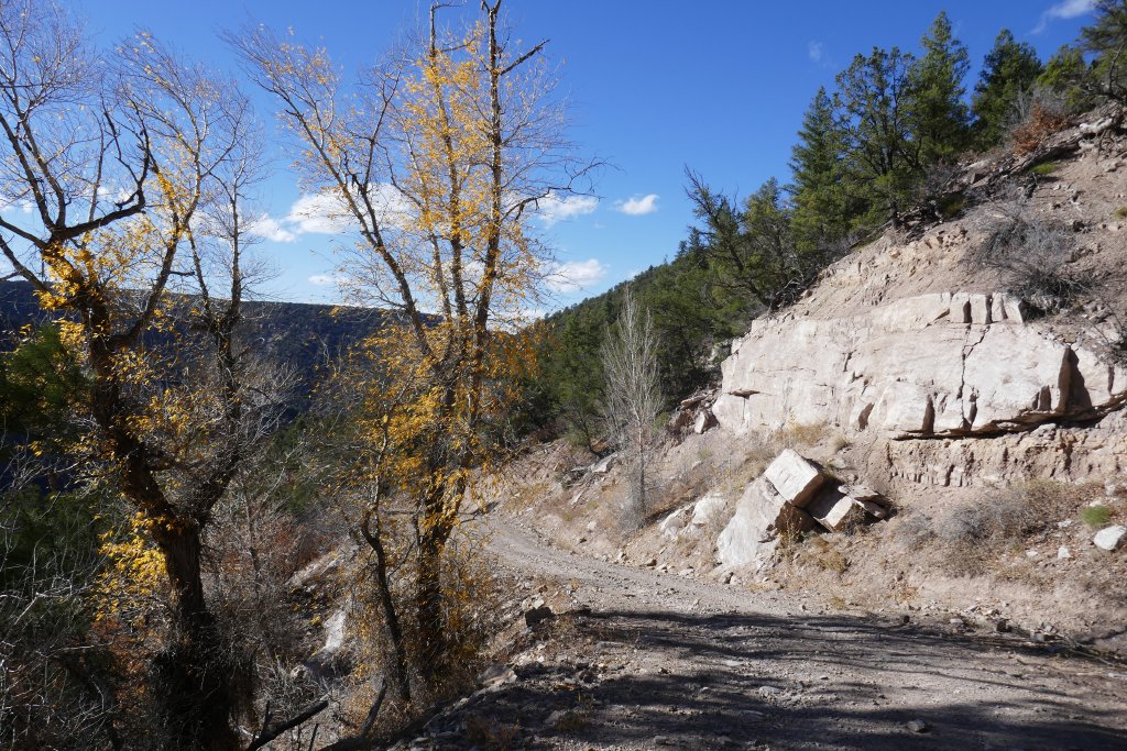
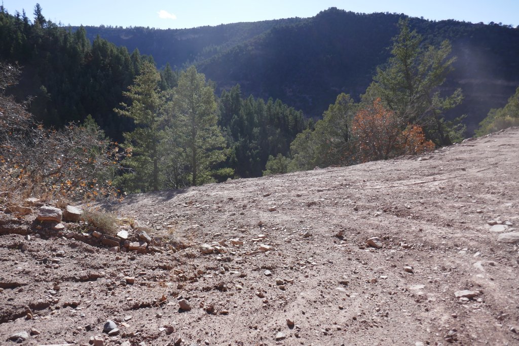
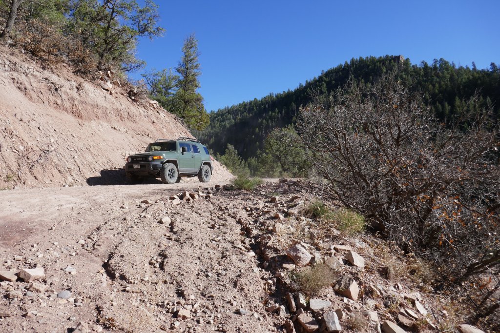
We passed only a couple other side trails, and then we came to the border between the national forest and private land. There was a humorous "no trespassing" sign, and then we started heading downhill into Goodenough Gulch. It was just as steep as the previous, paved section on the other end, but this end wasn't paved. We took it slow, and we were lucky to not find anyone on their way up. It was usually wide enough for passing, but the drop off on the side was pretty crazy and loose.
There were a couple switchbacks on the way down, and then the trail just ended at the pavement of Highway 145, just south of the Sanborn Park Road trailhead. This was a fun little trail, and we'd definitely do it again. We had a bit more daylight left, so we took a minute to discuss options before heading back to Sanborn Park Road for some more exploration.