TrailDamage.com

Photos, videos and information about 4x4 trails in Colorado and Utah

  • Trails
    • Colorado
    • Utah
  • Reports
    • Featured Photos
    • Featured Videos
    • Reports Calendar
  • Members
  • Search
  • Trail Damage Winners
  • FAQ
  • Community
  • Upcoming Events
  • Membership
  • Log In
  • Facebook
  • Instagram
  • RSS
  • Twitter
  • YouTube

Glacier Ridge 100925

September 25, 2010 by Monica

Glacier Ridge

Trail Run on September 25, 2010
Report and photos by Monica I., Trail Leader
View trail information for Glacier Ridge

Monica I.
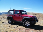
Red 2010 Jeep Wrangler Rubicon
Mark F.
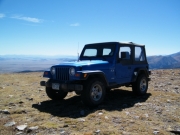
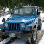
Blue 2002 Jeep Wrangler

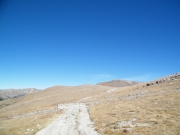
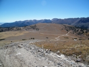
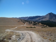
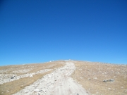
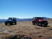
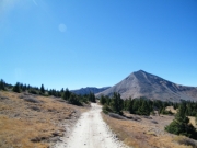
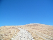
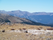
We ran to the top of Georgia Pass and we decided to explore Glacier Ridge. It was a last-minute decision, but it turned out to be a really good one. We both really enjoyed the challenges and the incredible scenery.

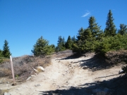
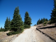
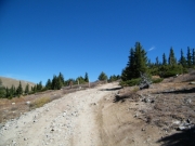
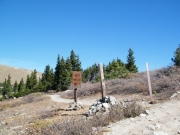
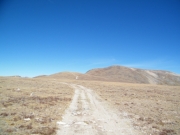
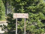
Out of all of the trails going in every direction from the top of Georgia Pass, Glacier Ridge is the easiest one to find. We left the crowds at the pass and continued higher in elevation. We saw a few people at the intersection for the Colorado Trail.

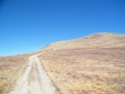
The first hill climb is always a fun one. We've done it before when we've gone up to the top of it in the past. But we've never gone any farther and we were looking forward to it.

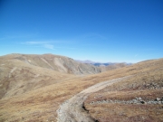
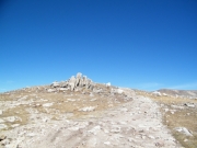
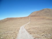
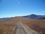
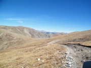
Even though the first hill climb is rough and bouncy, what came next was even more intimidating. The trail follows the Continental Divide, and just after the first hill climb it is a little distance down from the top of the ridge. The trail cuts across this steep slant, and in places it was fairly tippy. Loose rocks on the trail made it even more unnerving. We didn't have any issues, though it definitely made you pay attention.

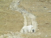
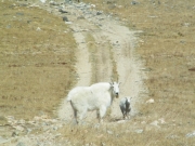
After going up and down over ridges a few more times we came down into the saddle. Just in front of us, a mountain goat stood in the trail between us and a baby goat. We took our pictures and then slowly drove closer. The goats moved toward and over the ridge in no particular hurry.

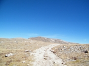
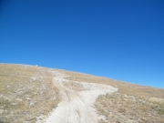
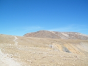
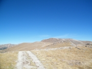
We kept going, and soon we saw the second hill climb. It looked impossible! We thought that maybe it would be closed, but it was open when we got there. As soon as we started up it we realized that looks were deceiving. It was definitely steep and loose, but definitely doable. We climbed up and over the top.

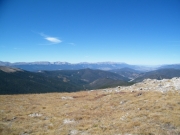
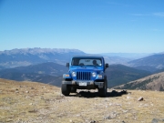
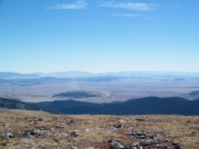
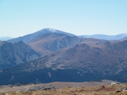
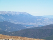
The trail eventually just ended. We had been traveling on exposed dirt and rocks that formed the trail, and suddenly it ended in the alpine grass. We parked and got out to check out the incredible views.

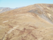
Unfortunately, we also saw tracks in the grass where ATVs had created their own trails. Those kind of trails last a long time, so we had no idea when they had been created. It was a bummer.

We soon headed back as it was really cold at the top. On the way back, we found two ATVs on their way up. One of them was driving on the grass, trying to get close to the goats to get a picture. The goats ran away as best as they could, but they were on a steep ridge. Luckily, they didn't fall.

We saw another Jeep on the way down but otherwise we had the trail to ourselves. It was a blast! It was a completely different trail on the way out. This is a trail we're going to have to include along with our regular trails.
alpine
big_view
bumpy
climbing
colorado_trail_part_1
colorado_trail_part_2
colors
curve_to_the_top
curve
down_the_first_hill_part_1
down_the_first_hill_part_2
early_trail
fall_colors
first_climb_part_1
first_climb_part_2
first_climb_part_3
first_climb_part_4
georgia_pass
glacier_ridge
goats_part_1
goats_part_2
goats_part_3
hill_ahead
looks_steep
mark_and_monica
mark_at_the_top
mark_on_the_trail
monica_at_the_top
mount_guyot
on_the_way_back
rocky
second_climb_part_1
second_climb_part_2
ski_area
trail_ahead
trailhead_sign
trailhead
view_from_the_top_part_1
view_from_the_top_part_2
view_from_the_top_part_3
view_from_the_top_part_4
view_from_the_top_part_5
view_from_the_top_part_6
view_from_the_top_part_7
view_from_the_top_part_8
Join Us!
If you aren’t a Member or Subscriber, you can’t see all of the content on this site. Get membership information to see why this site is best when you join and log in
Information for Subscribers

When you log in you’ll see more information here:

  • Recent Community Forum posts
  • Recent polls
  • Upcoming Events you can attend
  • Links to online users

© 2000-2021 · TrailDamage.com · Terms and Conditions · About · Contact
Trail information is only accurate on the date posted. Trails may have changed or closed since that date. Use this information for historical purposes only.
Contact the Forest Service or Bureau of Land Management for up-to-date trail information.

/* ----------------------------------------- */ /* View slug: reports-other-reports-for-same-trail-slider - start */ /* ----------------------------------------- */ /* place the prev/next controls on the sides */ .td-transition-controls .wpv-filter-next-link, .td-transition-controls .wpv-filter-previous-link { border: none; font-size: 300%; position: absolute; top: 70px; } .td-transition-controls .wpv-filter-previous-link { left: 0; } .td-transition-controls .wpv-filter-next-link { right: 0; } /* center the page selector horizonatally */ .td-transition-controls ul.wpv_pagination_dots { text-align: center; margin-top: 10px; } /* center the page selector horizonatally */ .td-transition-controls ul.wpv_pagination_dots li.wpv_pagination_dots_item, .td-transition-controls .wpv_pagination_dots li a { display: inline-block; float: none; } /* remove the default styles */ .td-transition-controls .wpv_pagination_dots li a { text-decoration: none; border-bottom: none; } .td-slider-container { padding: 0 25px; margin-bottom: 20px; position: relative; width:100%; display:table; } .td-slides { position: relative; } .td-slides-image { float:left; display:table-cell; } .td-slides-image img { border:1px solid #c0c0c0; } .td-slides-content { padding:4px 4px 4px 10px; border-top:1px solid #c0c0c0; border-right:1px solid #c0c0c0; border-bottom:1px solid #c0c0c0; display:table-cell; height:227px; overflow:hidden; } .td-slides-content h3 { margin-top:8px; } .td-slides-leader { font-size:smaller; margin-top:4px; } /* ----------------------------------------- */ /* View slug: reports-other-reports-for-same-trail-slider - end */ /* ----------------------------------------- */
/* ----------------------------------------- */ /* Content Template: Template for a Single Report - start */ /* ----------------------------------------- */ .entry-header { display:none; } .entry-content h1 { margin-top:16px; padding-top:0; } h1 a { color:#222; } h1 a:hover { color:#666; } p.entry-meta { font-size:small; } #report-body-spacer { clear:both; width:100%; height:20px; } #addtoany-bar { margin-bottom:2em; text-align:center; } .category-reports .post-info .author, .post-info .date { display: none; } .addthis_recommended_horizontal { text-align:center !important; } /* ----------------------------------------- */ /* Content Template: Template for a Single Report - end */ /* ----------------------------------------- */ /* ----------------------------------------- */ /* Content Template: Loop item in REPORTS Runners - start */ /* ----------------------------------------- */ #runners-container { width:100%; clear:both; } .runner { border:1px solid #c0c0c0; margin:0 6px 6px 0; float:left; width:49%; height:81px; } .runner-image { float: left; } .runner-image img { margin:2px 10px 0 2px; height:75px; width:75px; } .runner-name { text-transform:uppercase; } .runner-name a { color:#222; } .runner-name a:hover { color:#666; } .runner-vehicle { font-size:small; } @media only screen and (max-width: 768px) { .runner { width:100%; } } /* ----------------------------------------- */ /* Content Template: Loop item in REPORTS Runners - end */ /* ----------------------------------------- */