TrailDamage.com

Photos, videos and information about 4x4 trails in Colorado and Utah

  • Trails
    • Colorado
    • Utah
  • Reports
    • Featured Photos
    • Featured Videos
    • Reports Calendar
  • Members
  • Search
  • Trail Damage Winners
  • FAQ
  • Community
  • Upcoming Events
  • Membership
  • Log In
  • Facebook
  • Instagram
  • RSS
  • Twitter
  • YouTube

Fuller Bottom 150522

May 22, 2015 by Monica

Fuller Bottom

Trail Run on May 22, 2015
Report and photos by Monica I., Trail Leader
View trail information for Fuller Bottom

Matt K.
White 2016 Jeep Wrangler Unlimited Rubicon
Monica I.
Red 2010 Jeep Wrangler Rubicon
Walt S.
Gray 2018 Jeep Wrangler Unlimited Rubicon

It's hard to believe that we've done over 1,000 trail runs and we've never left a vehicle behind. Yes, we've needed to stay with a vehicle overnight until help came the next day, and we've limped off of the trail plenty of times, but we've never honestly thought we'd need to leave one. We almost had to leave Monica's Jeep on Fuller Bottom.

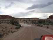
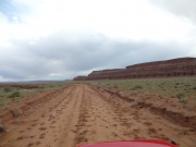
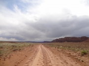
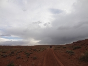
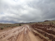
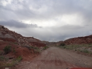
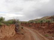
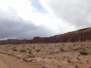
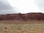
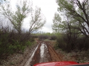
A lot of people would think of Fuller Bottom as two trails cut in half by the San Rafael River. Still more people would think that on a day like the one we had when we saw the river. We'd done a few trails already and it was late in the afternoon when we started the trail at the northern end, and it seemed like a fine trip because the rain had stopped. You could even say the trail was mellow.

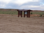
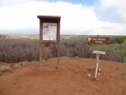
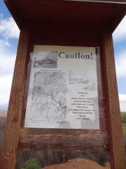
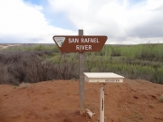
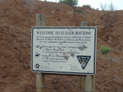
Then we came to the kiosk and the warning signs just north of the river. It was a bit muddy, so we didn't get out to read the kiosk. The "caution" sign was for river runners about some cottonwood trees clogging up the water a couple miles downstream. Piece of cake! We went down the steep slope to get to the water.

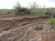
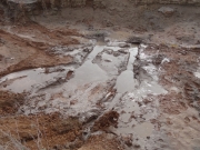
We found lots of people camping down there with horses, and they pointed the way to the water. We drove out to the edge and got out, and it was sticky, slick mud. We walked around a bit, seeing two ways out of the river across the water. A bit of exploring later and we found another way in, too.

From where we were, the water looked deeper than it did from the other entrance. So, we drove around to the other entrance. We joked about who would go first, but it would end up being Monica, as always.

The left entrance on the other side was pretty steep. We had to assume that the mud there was just as slick as the mud we were standing in, so Monica elected to go to the other side. The water was flowing strong, but the river crossing wasn't too bad.

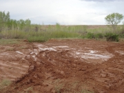
The mud on the other side was nasty, though, so she gave it some momentum. She had to slide around a corner, only to find that this wasn't the way out. Only ATVs could make it out the narrow end of the ditch she found herself in. She radioed to the other two Jeeps not to follow her, but Walt didn't hear her and he was soon a little distance behind her in the mud.

In the meantime, Matt tried the steep hill and made it up. He parked on the grass above the ditch and watched as Walt backed out and backed through the river to the other side again. Then he went through and followed Matt successfully up the steep hill.

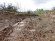
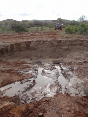
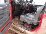
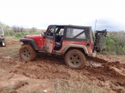
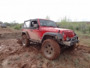
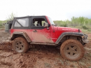
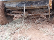
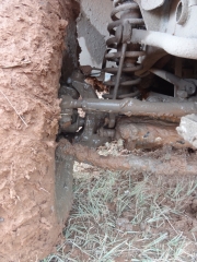
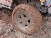
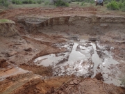
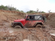
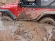
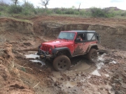
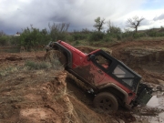
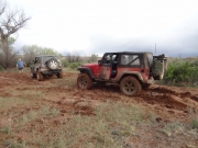
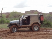
Rather than try to make the ATV path wider, Monica tried to turn around. Bad idea! Though the mud was passable with some momentum the first time through, it sucked her tires in as soon as she got sideways. The more she tried to work her way out, the worse it got. Her rocker guard rails were sitting on top of the mud and her front tires were hanging in muddy water.

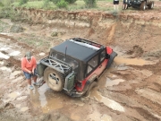
The guys tried winching her out and she didn't budge. They tried momentum and tow straps and that didn't move her Jeep a bit. We started calling towing companies, but it was after closing time. What would happen if more rain came, as it surely would, and she left her Jeep for a tow truck the next day? It could get quite a bit worse, and we were 100 miles from Green River.

Monica saw the tree earlier but it didn't register. Matt wished for a tree but didn't notice the only one near the water. It took a while and some chatting with the campers before we realized tree plus snatch block plus winch equals escape!

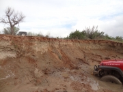
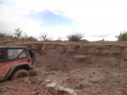
Monica had to pull quite a bit with her snatch-blocked winch line before the mud suction gave her tires up. She started to talk to the guys about the next step in the plan, and they said to try to keep winching forward. There was a muddy wall in front of her Jeep, and the winch line had dug itself about two feet into it. Would she be able to winch over the soft side? It was worth a try.

And ever-so-slowly, it worked! She winched up and over the side as the guys laughed and Monica couldn't believe it. She popped up over the top, a muddy mess but out of the Pit of Doom. Hooray! That was too close for comfort.

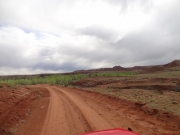
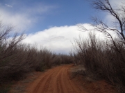
The campers cheered and we got as much mud off of our shoes as possible. We were all filthy, but laughing. The rest of the trail was full of talk on the CB, but it wasn't too challenging after the fun in the mud. We'd do the river crossing again, but next time we'd wait for drier weather!

after_the_river
belleview_flats
big_view
blue_sky
cement
cow_tracks
curve
dust_and_mud
early_trail
evil_mud
into_a_wash
jumbles_of_rocks
kiosk
layers
low_clouds
matt_on_the_other_side
matt_on_the_trail
monica_muddy_part_1
monica_muddy_part_2
monica_muddy_part_3
monica_muddy_part_4
monica_muddy_part_5
monica_muddy_part_6
monica_muddy_part_7
monica_muddy_part_8
monica_out
monica_stuck_part_1
monica_stuck_part_2
monica_stuck_part_3
monica_stuck_part_4
monica_stuck_part_5
monica_stuck_part_6
monica_stuck_part_7
monica_stuck_part_8
muddy_trail
off_of_green_river_cutoff
real_river_crossing
red_dirt
red
river_crossing_kiosk_part_1
river_crossing_kiosk_part_2
river_crossing_kiosk_part_3
river_crossing_kiosk_part_4
south_of_the_river
sticky
tamerisk
the_red_ledges_part_1
the_red_ledges_part_2
to_the_river
walt_and_monica
walt_muddy
wash
Join Us!
If you aren’t a Member or Subscriber, you can’t see all of the content on this site. Get membership information to see why this site is best when you join and log in

Information for Subscribers

When you log in you’ll see more information here:

  • Recent Community Forum posts
  • Recent polls
  • Upcoming Events you can attend
  • Links to online users

© 2000-2022 · TrailDamage.com · Terms and Conditions · About · Contact
Trail information is only accurate on the date posted. Trails may have changed or closed since that date. Use this information for historical purposes only.
Contact the Forest Service or Bureau of Land Management for up-to-date trail information.

/* ----------------------------------------- */ /* View slug: reports-other-reports-for-same-trail-slider - start */ /* ----------------------------------------- */ /* place the prev/next controls on the sides */ .td-transition-controls .wpv-filter-next-link, .td-transition-controls .wpv-filter-previous-link { border: none; font-size: 300%; position: absolute; top: 70px; } .td-transition-controls .wpv-filter-previous-link { left: 0; } .td-transition-controls .wpv-filter-next-link { right: 0; } /* center the page selector horizonatally */ .td-transition-controls ul.wpv_pagination_dots { text-align: center; margin-top: 10px; } /* center the page selector horizonatally */ .td-transition-controls ul.wpv_pagination_dots li.wpv_pagination_dots_item, .td-transition-controls .wpv_pagination_dots li a { display: inline-block; float: none; } /* remove the default styles */ .td-transition-controls .wpv_pagination_dots li a { text-decoration: none; border-bottom: none; } .td-slider-container { padding: 0 25px; margin-bottom: 20px; position: relative; width:100%; display:table; } .td-slides { position: relative; } .td-slides-image { float:left; display:table-cell; } .td-slides-image img { border:1px solid #c0c0c0; } .td-slides-content { padding:4px 4px 4px 10px; border-top:1px solid #c0c0c0; border-right:1px solid #c0c0c0; border-bottom:1px solid #c0c0c0; display:table-cell; height:227px; overflow:hidden; } .td-slides-content h3 { margin-top:8px; } .td-slides-leader { font-size:smaller; margin-top:4px; } /* ----------------------------------------- */ /* View slug: reports-other-reports-for-same-trail-slider - end */ /* ----------------------------------------- */
/* ----------------------------------------- */ /* Content Template: Template for a Single Report - start */ /* ----------------------------------------- */ .entry-header { display:none; } .entry-content h1 { margin-top:16px; padding-top:0; } h1 a { color:#222; } h1 a:hover { color:#666; } p.entry-meta { font-size:small; } #report-body-spacer { clear:both; width:100%; height:20px; } #addtoany-bar { margin-bottom:2em; text-align:center; } .category-reports .post-info .author, .post-info .date { display: none; } .addthis_recommended_horizontal { text-align:center !important; } /* ----------------------------------------- */ /* Content Template: Template for a Single Report - end */ /* ----------------------------------------- */ /* ----------------------------------------- */ /* Content Template: Loop item in REPORTS Runners - start */ /* ----------------------------------------- */ #runners-container { width:100%; clear:both; } .runner { border:1px solid #c0c0c0; margin:0 6px 6px 0; float:left; width:49%; height:81px; } .runner-image { float: left; } .runner-image img { margin:2px 10px 0 2px; height:75px; width:75px; } .runner-name { text-transform:uppercase; } .runner-name a { color:#222; } .runner-name a:hover { color:#666; } .runner-vehicle { font-size:small; } @media only screen and (max-width: 768px) { .runner { width:100%; } } /* ----------------------------------------- */ /* Content Template: Loop item in REPORTS Runners - end */ /* ----------------------------------------- */