

TrailDamage.com

Photos, videos and information about 4x4 trails in Colorado and Utah

  • Trails
    • Colorado
    • Utah
  • Reports
    • Featured Photos
    • Reports Calendar
  • Members
  • Search
  • FAQ
  • Community
  • Upcoming Events
  • Membership
  • Log In
  • Facebook
  • Instagram
  • RSS
  • Twitter
  • YouTube
  • Trails
    • Colorado
    • Utah
  • Reports
    • Featured Photos
    • Reports Calendar
  • Members
  • Search
  • FAQ
  • Community
  • Upcoming Events
  • Membership
  • Log In

Eureka Gulch 080827

August 27, 2008 by Monica

Eureka Gulch

Trail Run on August 27, 2008
Report and photos by Monica I., Trail Leader
View trail information for Eureka Gulch

Walt S.
Gray 2022 Jeep Wrangler Unlimited Rubicon 392
Don W.
Silver 2005 Jeep Wrangler Rubicon
Michael M.
Black 2006 Jeep Wrangler Unlimited Rubicon
Monica I.
Red 2010 Jeep Wrangler Rubicon

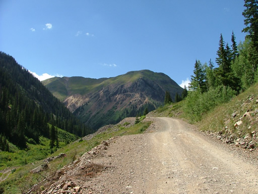
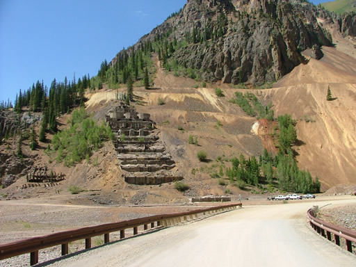
All of our trails for the day were all very close to each other, and Eureka Gulch was just a bit north of Minnie Gulch. It was easy to find, with the remains of the Sunnyside Mill next to the trailhead. There were many people camping in what used to be the town of Eureka. It was tough to imagine this place as it used to be.

We started up the trail while many people at the Sunnyside Mill watched us go. But we were soon around the corner and out of sight. We had hoped to be able to explore the trail further down in the gulch, but it was gated and marked as private property. It looked like a new house was built down there, and we were all jealous.

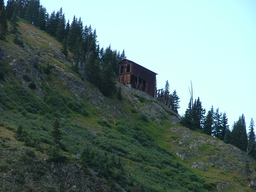
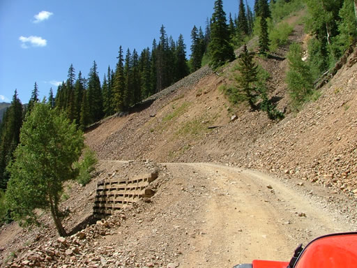
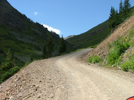
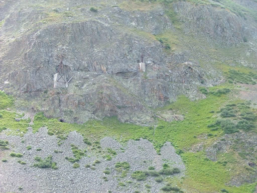
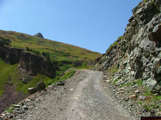
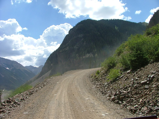
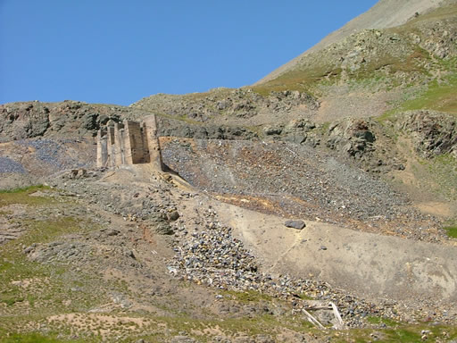
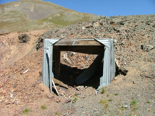
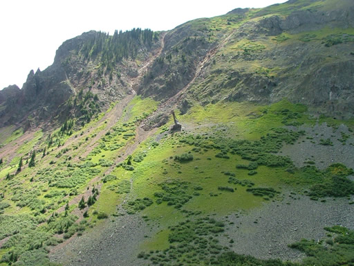
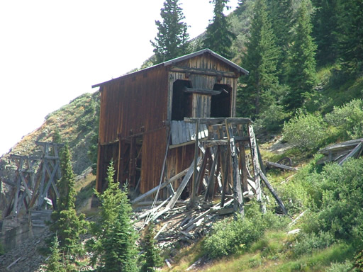
The trail was very easy, though the drop-off on the site was severe. We all noted the tramway towers we could see, and marveled at the Ben Franklin Mine. It looked like it was recently used, and we wondered how it could stay up there through year after year of harsh winters. It was a bummer that we couldn't get anywhere near it, but we enjoyed looking at it from across the gulch.

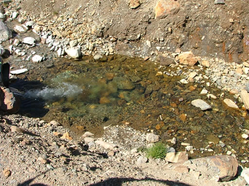
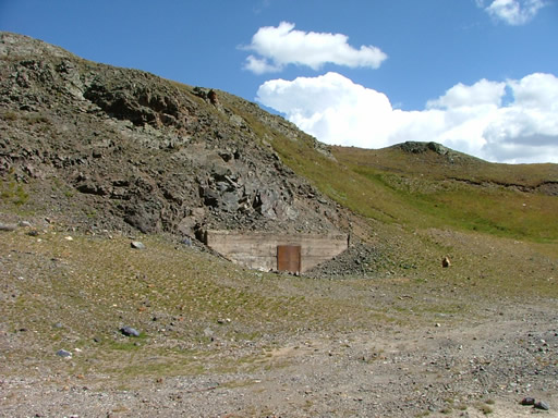
We went past the site of the Sunnyside Mine, intending to come back through later to explore. We sat in Lake Emma and couldn't believe that they had accidentally drained it, ruining a mine in the process. At least no one was killed. Whoops!

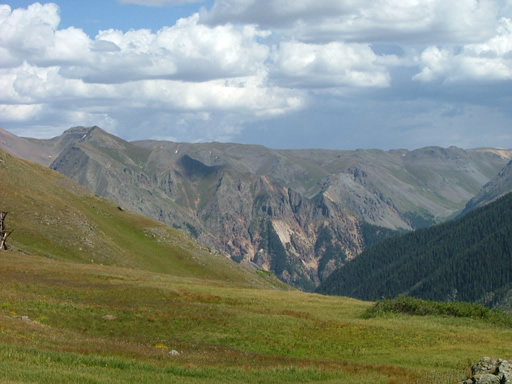
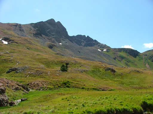
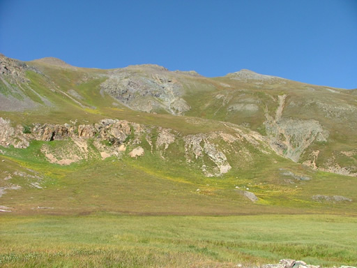
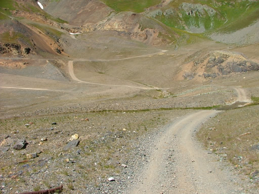
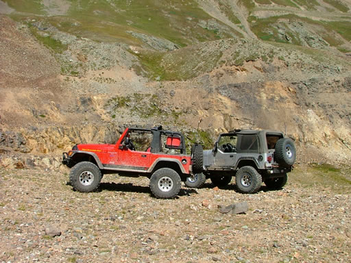
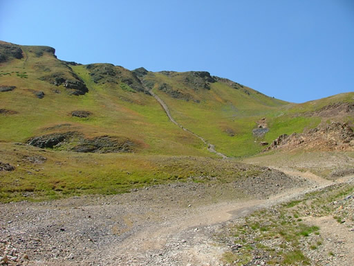
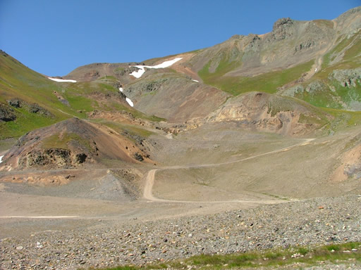
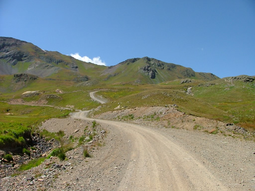
The trail ended soon after that. We got out to enjoy the amazing views of the mountains around us. It was what you picture when you think of the San Juan Mountains.

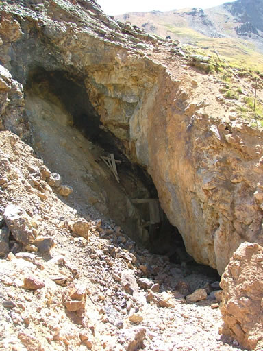
We headed back, driving around the Sunnyside Mine location on the way back. There wasn't much left, but you could see that it must have been a huge operation when it was going.

We soon headed back, glad that we explored this area even though the trail was pretty easy. It really was a great day for scenic wheeling.
basin
ben_franklin_mine_part_1
ben_franklin_mine_part_2
ben_franklin_mine_part_3
big_view
bonita_peak
clear_water
climbing
early_trail
eureka_gulch
eureka_mountain
green_gulch
lake_emma
mellow
mining_equipment
monica_and_don
mountain_stream
narrow_trail
near_the_end
near_the_mining_site
old_mine
on_the_way_back
parked_at_the_end
snowfield
start_of_the_trail
sunnyside_mill_part_1
sunnyside_mill_part_2
sunnyside_mine_part_1
sunnyside_mine_part_2
sunnyside_mine_part_3
sunnyside_mine_sign
sunnyside_saddle
to_the_end
tram_tower
water_flowing
Join Us!
If you aren’t a Member or Subscriber, you can’t see all of the content on this site. Get membership information to see why this site is best when you join and log in

Information for Subscribers

When you log in you’ll see more information here:

  • Recent Community Forum posts
  • Recent polls
  • Upcoming Events you can attend
  • Links to online users

© 2000-2026 · TrailDamage.com · Terms and Conditions · About · Contact
Trail information is only accurate on the date posted. Trails may have changed or closed since that date. Use this information for historical purposes only.
Contact the Forest Service or Bureau of Land Management for up-to-date trail information.