TrailDamage.com

Photos, videos and information about 4x4 trails in Colorado and Utah

  • Trails
    • Colorado
    • Utah
  • Reports
    • Featured Photos
    • Featured Videos
    • Reports Calendar
  • Members
  • Search
  • Trail Damage Winners
  • FAQ
  • Community
  • Upcoming Events
  • Membership
  • Log In
  • Facebook
  • Instagram
  • RSS
  • Twitter
  • YouTube

Dotsero Crater 160909

September 9, 2016 by Monica

Dotsero Crater

Trail Run on September 9, 2016
Report and photos by Monica I., Trail Leader
View trail information for Dotsero Crater

Matt K.
White 2016 Jeep Wrangler Unlimited Rubicon
Monica I.
Red 2010 Jeep Wrangler Rubicon
Walt S.
Gray 2018 Jeep Wrangler Unlimited Rubicon

We were in Eagle, hanging out at picnic tables next to a gas station, talking about what to do next. It was too early to head back to the campground at Sylvan Lake, but too late to tackle something big. We had always wanted to check out the Dotsero Crater, so we got on our smartphones to figure out where it was. Then we headed off.

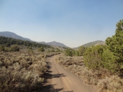
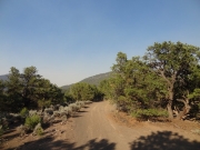
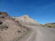
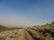
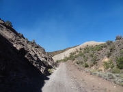
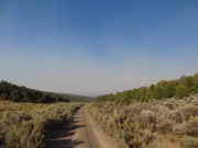
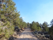
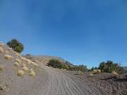
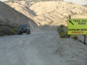
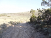
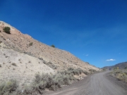
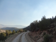
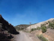
We found the road after a bit of trial and error, but it was tucked behind some houses and businesses. We headed up, and the trail was interesting from the start. We were on gray dirt that gave way to gray, little rocks. It made the trail soft, the kind of trail that would be a nightmare on a bicycle.

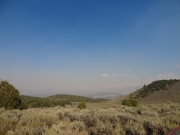
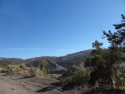
We saw some smoke from what appeared to be a pretty big fire near us, and then we smelled it. We decided it wasn't close enough to force us to turn back. It was probably the Lost Solar Fire, but we couldn't be sure. It made it pretty smoky for the rest of the afternoon.

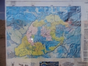
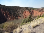
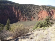
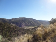
We went up a few switchbacks with interesting colors, and then found ourselves at a long fence. There was a big hole to the side of the fence, and trails all over the place. Was this the crater? A quick check with GPS units and we found out that was it. It's basically a big hole with a flat bottom. It's definitely interesting.

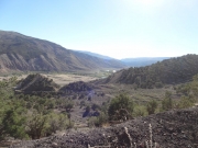
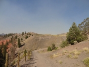
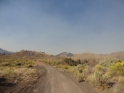
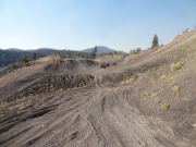
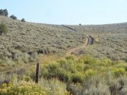
We could really tell the difference between the land managed by the forest service and this open land. There were paths all over the place where people were just driving around. Every hillside had tracks going up and down it. We had to guess in a couple of places about which was the actual trail. In the end, we just chose the one that had the major tracks on it.

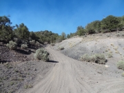
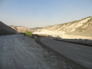
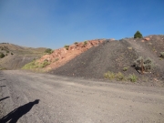
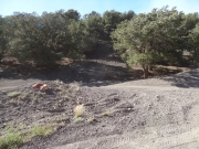
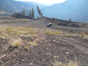
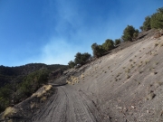
We came around a corner and found trails all over the place at a huge hill. Monica drove up the main trail up it and obviously didn't have enough momentum. A few yards from the top, the little rocks were very deep and she sunk in like she was on snow. She wasn't going to make it to the top, so she backed down. Then she gave it a lot of gas and powered up, still having to fly up and over the top in order to not get stuck again. Fun!

Matt tried it next, and he got sucked into the same place. He decided to keep working on it, though, and eventually, slowly worked his way through it. It was definitely a tough challenge.

Walt sat at the bottom and decided he wouldn't make it up that particular path. Monica and Matt walked around the top, and found a path that didn't look so deep. Walt gave it a try and cruised right up it, not getting stuck. We were all up!

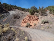
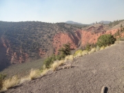
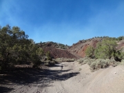
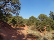
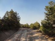
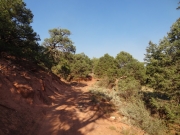
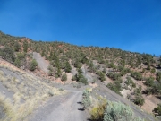
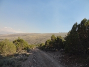
After the deep quarry hill, the trail immediately changed. The trail became a dirt track with rocks in it, red like the trails we see all the time around Moab. Even the trees looked like Utah trees. It was a sudden and strange change, but we enjoyed the quick, imaginary trip to Utah.

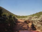
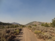
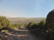
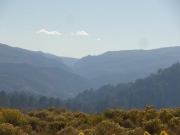
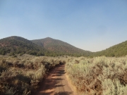
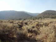
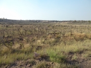
We went through some switchbacks and hills, and then the trail leveled off in a large, open area. There were low bushes, and the air was filled with smoke. We seemed to be right in the path of the smoke from the fire. Our eyes would be burning from it the rest of the weekend, and everyone would cough until we left.

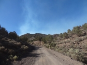
The rest of the trail was nice, and we took the main route through the area. When we finished, we came out to a parking area filled with buggies getting back up on trailers. There must be a tough trail in the area. When we got home, we researched it and found out that the Castle Peak Recreation Area has some pretty serious trails in it. They seem too big for our road vehicles, but we'd like to check them out someday.

The whole area is filled with trails, and we've just scratched the surface. We'd need to come back and see the rest of it some other time. What a great and accidental discovery!

We took the main road back to Gypsum and then headed back to Sylvan Lake and camp. We had a nice time, eating dinner and chatting around the campfire. It was going to be the coldest night during our time there, so we were bundling up and getting ready. It was a great day.

after_the_quarry
bumpy_climb
climbing
colorful
crater_map
desert_views
distant_hills
dotsero
dotsero_crater_part_1
dotsero_crater_part_2
dotsero_crater_part_3
downhill
early_curve
eroded
fence_at_the_crater
gypsum_mine_road
hazy_layers
heading_downhill
heading_in
hill_climbs
i-70_below
into_green
kiosk
limited_visibility
little_climb
looks_like_utah
loose
low_brush
matt_on_the_road
mountains
near_the_crater
old_tracks
previously_muddy
quarry_fun
road_sign
rocky_descent
shaded
smoke
smoky_views
start_of_the_trail
sticks
switchback
trail_gulch_road
trails_everywhere
unexplored_spur
walt_at_the_quarry
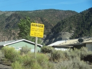
warning_sign
wavy
wheeling_in_smoke
after_the_quarry
bumpy_climb
climbing
colorful
crater_map
desert_views
distant_hills
dotsero_crater_part_1
dotsero_crater_part_2
dotsero_crater_part_3
dotsero
downhill
early_curve
eroded
fence_at_the_crater
gypsum_mine_road
hazy_layers
heading_downhill
heading_in
hill_climbs
i-70_below
into_green
kiosk
limited_visibility
little_climb
looks_like_utah
loose
low_brush
matt_on_the_road
mountains
near_the_crater
old_tracks
previously_muddy
quarry_fun
road_sign
rocky_descent
shaded
smoke
smoky_views
start_of_the_trail
sticks
switchback
trail_gulch_road
trails_everywhere
unexplored_spur
walt_at_the_quarry
warning_sign
wavy
wheeling_in_smoke
Join Us!
If you aren’t a Member or Subscriber, you can’t see all of the content on this site. Get membership information to see why this site is best when you join and log in

Information for Subscribers

When you log in you’ll see more information here:

  • Recent Community Forum posts
  • Recent polls
  • Upcoming Events you can attend
  • Links to online users

© 2000-2021 · TrailDamage.com · Terms and Conditions · About · Contact
Trail information is only accurate on the date posted. Trails may have changed or closed since that date. Use this information for historical purposes only.
Contact the Forest Service or Bureau of Land Management for up-to-date trail information.
/* ----------------------------------------- */ /* View slug: reports-other-reports-for-same-trail-slider - start */ /* ----------------------------------------- */ /* place the prev/next controls on the sides */ .td-transition-controls .wpv-filter-next-link, .td-transition-controls .wpv-filter-previous-link { border: none; font-size: 300%; position: absolute; top: 70px; } .td-transition-controls .wpv-filter-previous-link { left: 0; } .td-transition-controls .wpv-filter-next-link { right: 0; } /* center the page selector horizonatally */ .td-transition-controls ul.wpv_pagination_dots { text-align: center; margin-top: 10px; } /* center the page selector horizonatally */ .td-transition-controls ul.wpv_pagination_dots li.wpv_pagination_dots_item, .td-transition-controls .wpv_pagination_dots li a { display: inline-block; float: none; } /* remove the default styles */ .td-transition-controls .wpv_pagination_dots li a { text-decoration: none; border-bottom: none; } .td-slider-container { padding: 0 25px; margin-bottom: 20px; position: relative; width:100%; display:table; } .td-slides { position: relative; } .td-slides-image { float:left; display:table-cell; } .td-slides-image img { border:1px solid #c0c0c0; } .td-slides-content { padding:4px 4px 4px 10px; border-top:1px solid #c0c0c0; border-right:1px solid #c0c0c0; border-bottom:1px solid #c0c0c0; display:table-cell; height:227px; overflow:hidden; } .td-slides-content h3 { margin-top:8px; } .td-slides-leader { font-size:smaller; margin-top:4px; } /* ----------------------------------------- */ /* View slug: reports-other-reports-for-same-trail-slider - end */ /* ----------------------------------------- */
/* ----------------------------------------- */ /* Content Template: Template for a Single Report - start */ /* ----------------------------------------- */ .entry-header { display:none; } .entry-content h1 { margin-top:16px; padding-top:0; } h1 a { color:#222; } h1 a:hover { color:#666; } p.entry-meta { font-size:small; } #report-body-spacer { clear:both; width:100%; height:20px; } #addtoany-bar { margin-bottom:2em; text-align:center; } .category-reports .post-info .author, .post-info .date { display: none; } .addthis_recommended_horizontal { text-align:center !important; } /* ----------------------------------------- */ /* Content Template: Template for a Single Report - end */ /* ----------------------------------------- */ /* ----------------------------------------- */ /* Content Template: Loop item in REPORTS Runners - start */ /* ----------------------------------------- */ #runners-container { width:100%; clear:both; } .runner { border:1px solid #c0c0c0; margin:0 6px 6px 0; float:left; width:49%; height:81px; } .runner-image { float: left; } .runner-image img { margin:2px 10px 0 2px; height:75px; width:75px; } .runner-name { text-transform:uppercase; } .runner-name a { color:#222; } .runner-name a:hover { color:#666; } .runner-vehicle { font-size:small; } @media only screen and (max-width: 768px) { .runner { width:100%; } } /* ----------------------------------------- */ /* Content Template: Loop item in REPORTS Runners - end */ /* ----------------------------------------- */