TrailDamage.com

Photos, videos and information about 4x4 trails in Colorado and Utah

  • Trails
    • Colorado
    • Utah
  • Reports
    • Featured Photos
    • Featured Videos
    • Reports Calendar
  • Members
  • Search
  • Trail Damage Winners
  • FAQ
  • Community
  • Upcoming Events
  • Membership
  • Log In
  • Facebook
  • Instagram
  • RSS
  • Twitter
  • YouTube

Deadman Road 160702

July 2, 2016 by Monica

Deadman Road

Trail Run on July 2, 2016
Report and photos by Monica I., Trail Leader
View trail information for Deadman Road

Roger R.
Gray 2021 Jeep Wrangler Rubicon 4xe
Ted M.
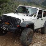
White 2009 Jeep Wrangler Unlimited
Monica I.
Red 2010 Jeep Wrangler Rubicon

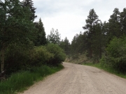
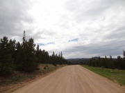
It seems like we do a bit of Larimer County every year because it's low in elevation, so trails are open earlier than the rest of Colorado's trails, and they close earlier. How was it possible we'd never been on Deadman Road? We knew about it, of course, but it just never ended up in our plan. We still had many, many trails to do in Red Feather Lakes, but this was a start.

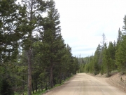
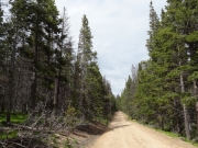
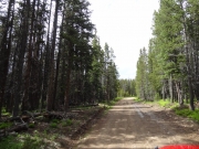
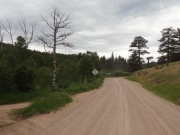
We came off of Manhattan Road and made the two, quick left turns to get to Deadman Road. We just followed signs to the lookout tower. We passed one open gate, and we knew that they'd opened the entirety of Deadman Road the day before so we were good to go.

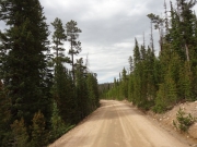
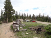
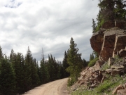
We took note of the picnic tables between the first set of switchbacks. That would be a good place for another lunch on another day. It was tough driving by Killpecker, another trail we haven't done. It's on our To Do List.

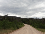
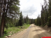
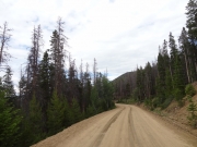
There were lots and lots of people on the trail. They were driving on it, camping next to it, and exploring all over the place. When we got to the boundary between Upper and Lower Deadman Road, the number of people dropped off considerably. Our guess is that they got there before the trail was fully opened. It made the rest of the trail much nicer, though.

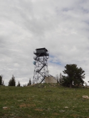
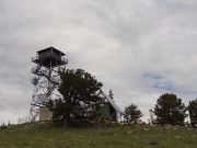
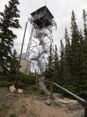
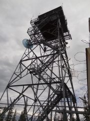
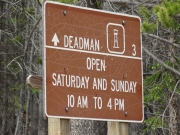
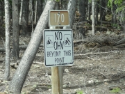
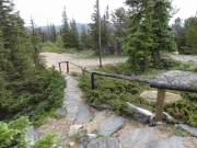
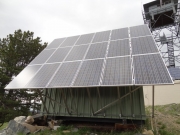
We wanted to check out the tower, so we took that spur. The sign said that we were there during open hours, which was good. We found out later than they open on the 4th of July, though, so we were two days early. That meant that no one was there and everything was closed. It was good to get out and stretch our legs, though, and the scenery was nice.

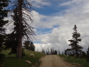
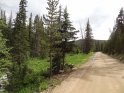
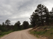
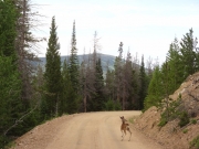
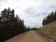
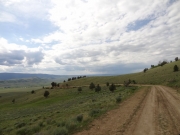
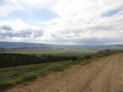
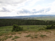
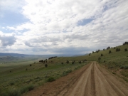
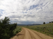
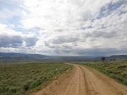
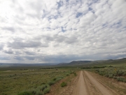
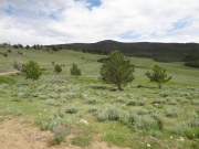
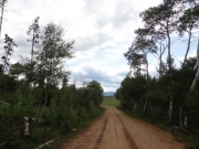
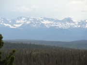
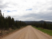
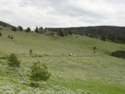
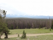
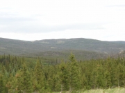
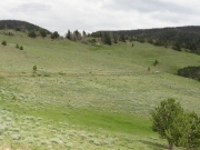
Once we were back on the trail we just kept on going without breaks. Everyone's jaws dropped when we came out of some trees and saw the Laramie River Valley below us. It was gorgeous, and we were all snapping pictures. All of the recent rain made the area very green -- for Colorado, anyway. It was a really good drive to the end.

When we were at the end we briefly discussed turning left and heading for Highway 14. No one likes that highway when caught in holiday traffic, though, so we kept with the plan to take Cherokee Park Road. We turned right and kept going.

big_trees
channel
chipmunk
climbing
creekside
curve
deer
descent
down_to_the_valley
early_trail
easy_road
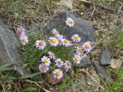
flowers
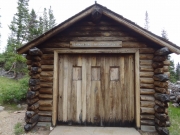
information_center
laramie_river_valley_part_1
laramie_river_valley_part_2
laramie_river_valley_part_3
laramie_river_valley_part_4
laramie_river_valley_part_5
laramie_river_valley_part_6
lookout_road
lookout_tower_part_1
lookout_tower_part_2
lookout_tower_part_3
lookout_tower_part_4
lookout_tower_sign
medicine_bow_range_sign
mellow_road
no_ohv_to_lookout
not_as_wide
on_the_trail
out_of_the_trees
parked
patches_of_blue
rain_clouds
rocks
roger_on_the_trail
shadows
snowy_mountains
stairs_to_the_tower
straight
ted_on_the_trail
tower_solar
tracks
view_from_the_tower
view
Join Us!
If you aren’t a Member or Subscriber, you can’t see all of the content on this site. Get membership information to see why this site is best when you join and log in
Information for Subscribers

When you log in you’ll see more information here:

  • Recent Community Forum posts
  • Recent polls
  • Upcoming Events you can attend
  • Links to online users

© 2000-2022 · TrailDamage.com · Terms and Conditions · About · Contact
Trail information is only accurate on the date posted. Trails may have changed or closed since that date. Use this information for historical purposes only.
Contact the Forest Service or Bureau of Land Management for up-to-date trail information.

/* ----------------------------------------- */ /* View slug: reports-other-reports-for-same-trail-slider - start */ /* ----------------------------------------- */ /* place the prev/next controls on the sides */ .td-transition-controls .wpv-filter-next-link, .td-transition-controls .wpv-filter-previous-link { border: none; font-size: 300%; position: absolute; top: 70px; } .td-transition-controls .wpv-filter-previous-link { left: 0; } .td-transition-controls .wpv-filter-next-link { right: 0; } /* center the page selector horizonatally */ .td-transition-controls ul.wpv_pagination_dots { text-align: center; margin-top: 10px; } /* center the page selector horizonatally */ .td-transition-controls ul.wpv_pagination_dots li.wpv_pagination_dots_item, .td-transition-controls .wpv_pagination_dots li a { display: inline-block; float: none; } /* remove the default styles */ .td-transition-controls .wpv_pagination_dots li a { text-decoration: none; border-bottom: none; } .td-slider-container { padding: 0 25px; margin-bottom: 20px; position: relative; width:100%; display:table; } .td-slides { position: relative; } .td-slides-image { float:left; display:table-cell; } .td-slides-image img { border:1px solid #c0c0c0; } .td-slides-content { padding:4px 4px 4px 10px; border-top:1px solid #c0c0c0; border-right:1px solid #c0c0c0; border-bottom:1px solid #c0c0c0; display:table-cell; height:227px; overflow:hidden; } .td-slides-content h3 { margin-top:8px; } .td-slides-leader { font-size:smaller; margin-top:4px; } /* ----------------------------------------- */ /* View slug: reports-other-reports-for-same-trail-slider - end */ /* ----------------------------------------- */
/* ----------------------------------------- */ /* Content Template: Template for a Single Report - start */ /* ----------------------------------------- */ .entry-header { display:none; } .entry-content h1 { margin-top:16px; padding-top:0; } h1 a { color:#222; } h1 a:hover { color:#666; } p.entry-meta { font-size:small; } #report-body-spacer { clear:both; width:100%; height:20px; } #addtoany-bar { margin-bottom:2em; text-align:center; } .category-reports .post-info .author, .post-info .date { display: none; } .addthis_recommended_horizontal { text-align:center !important; } /* ----------------------------------------- */ /* Content Template: Template for a Single Report - end */ /* ----------------------------------------- */ /* ----------------------------------------- */ /* Content Template: Loop item in REPORTS Runners - start */ /* ----------------------------------------- */ #runners-container { width:100%; clear:both; } .runner { border:1px solid #c0c0c0; margin:0 6px 6px 0; float:left; width:49%; height:81px; } .runner-image { float: left; } .runner-image img { margin:2px 10px 0 2px; height:75px; width:75px; } .runner-name { text-transform:uppercase; } .runner-name a { color:#222; } .runner-name a:hover { color:#666; } .runner-vehicle { font-size:small; } @media only screen and (max-width: 768px) { .runner { width:100%; } } /* ----------------------------------------- */ /* Content Template: Loop item in REPORTS Runners - end */ /* ----------------------------------------- */