Cottonwood Trail
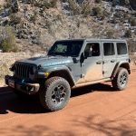


Even though we'd had a long and sometimes rough day already, we had a few hours of daylight left and there was still more to see. It made sense for us to head back to Naturita after coming off of Ray's Trail, but sometimes we don't make a lot of sense. Julie headed back to town while the rest of us took Old Highway 90 to the southern end of Cottonwood Trail.
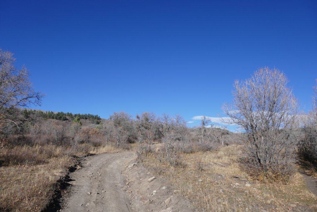
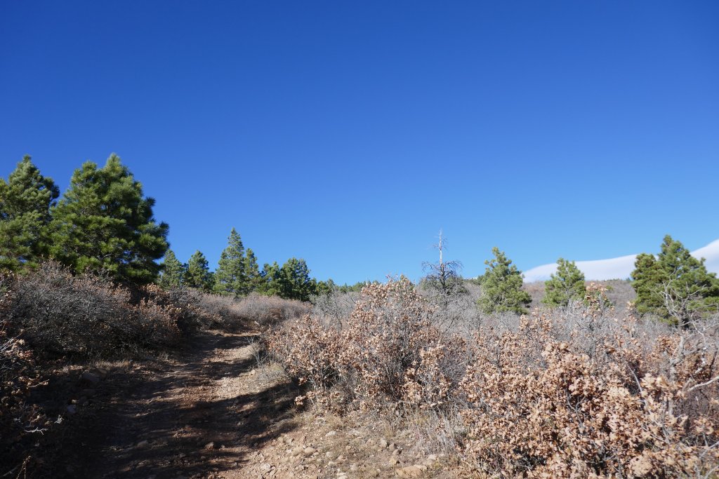
We stopped at the trailhead to talk about it one more time. We didn't know how long it would take to do the trail. It looked like a wide and mellow trail from the trailhead, with lots of tracks heading in. We decided to go for it, even if we were out there all night.
It ended up being a good bet, because the trail wasn't like Ray's Trail, even though they headed in roughly the same direction through roughly the same area. Cottonwood Trail saw a lot more people, though, and it wasn't along private property. That made it faster and easier for us.
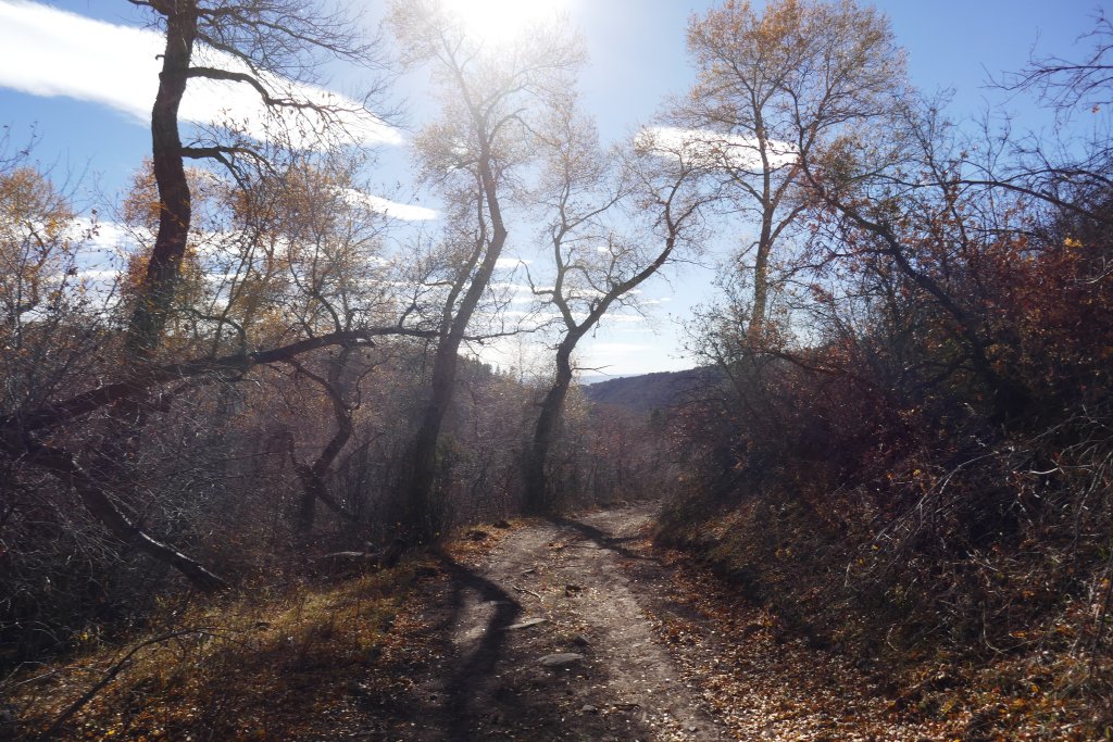
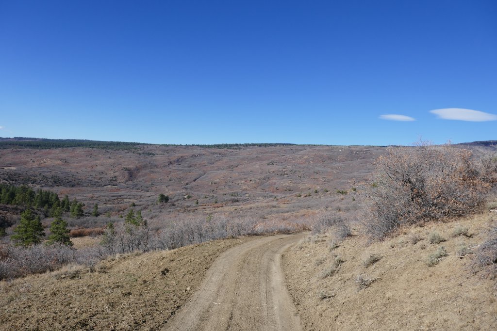
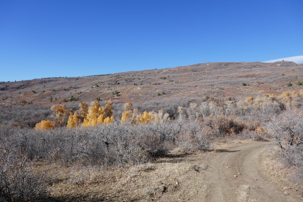
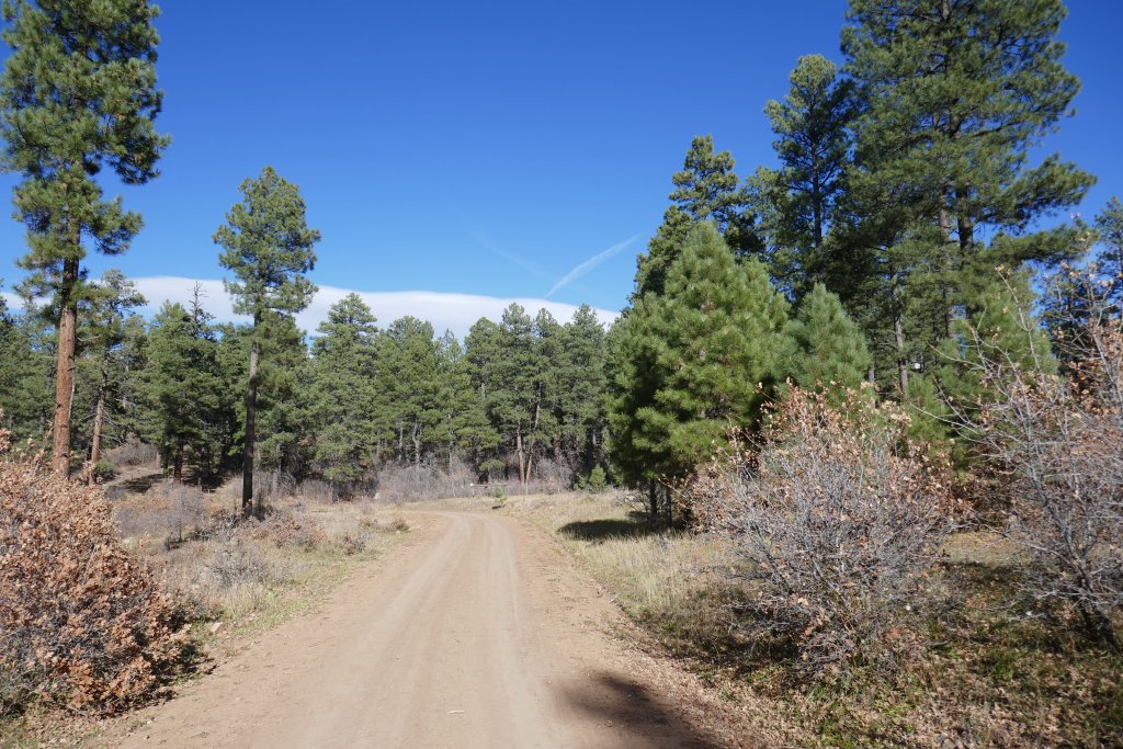
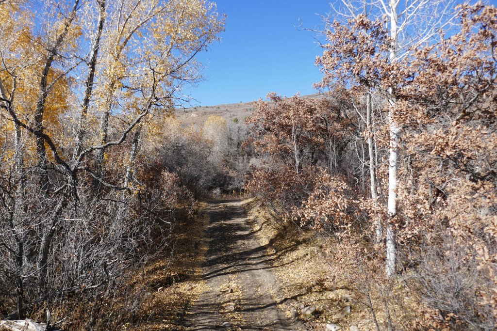
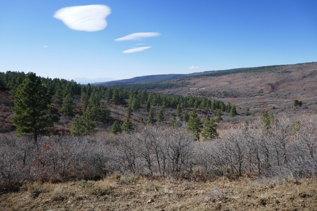
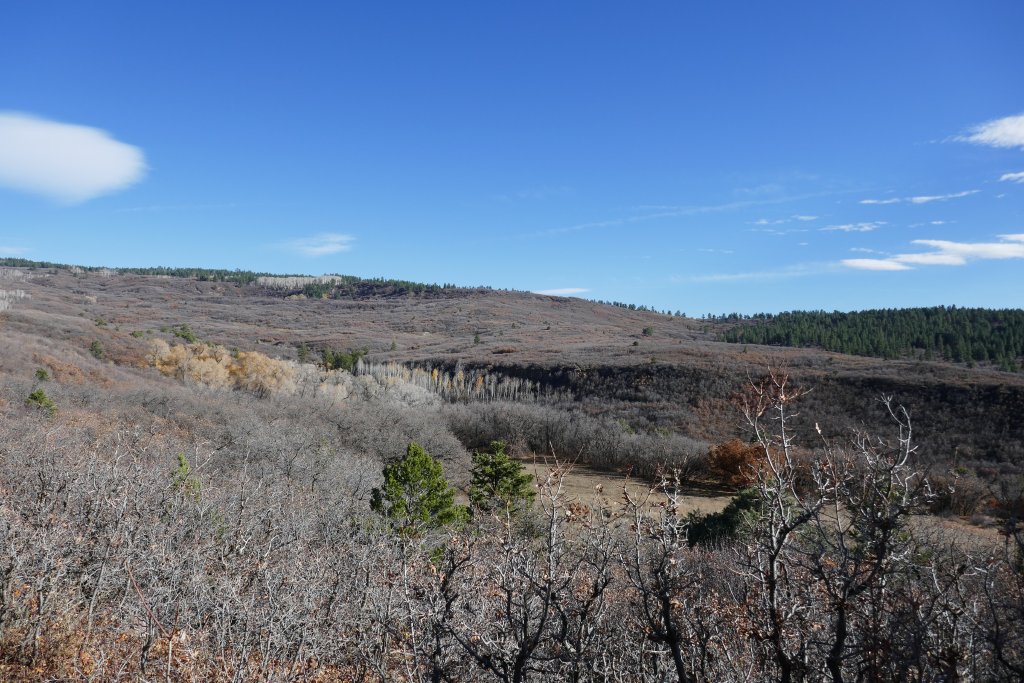
It was mellow along Pine Ridge on the southern end. It was a bummer that we were there so late in the year, because everything was brown. There were no green trees or yellow aspen trees. But we could see a small patch of yellow cottonwood trees on one end of a line of cottonwood trees that had already lost their leaves. Cottonwood trees like water, so we knew that was Cottonwood Creek.
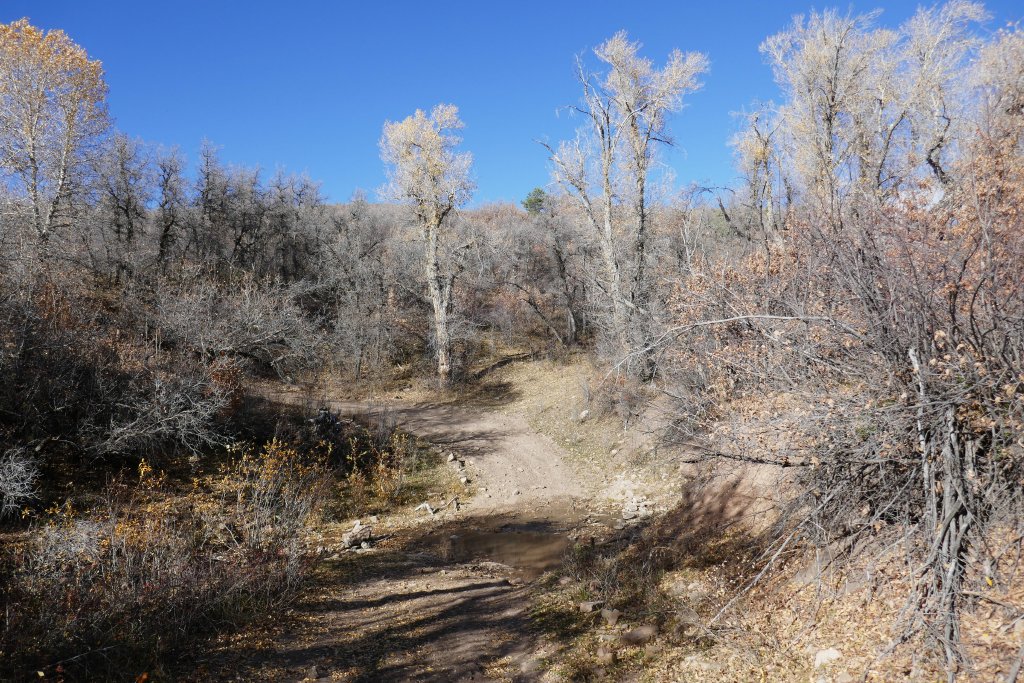
When we got to the creek, it was only a couple of inches deep. There were trees all around us as we crossed, and on the other side the trail went sharply uphill. This was the start of the fun.
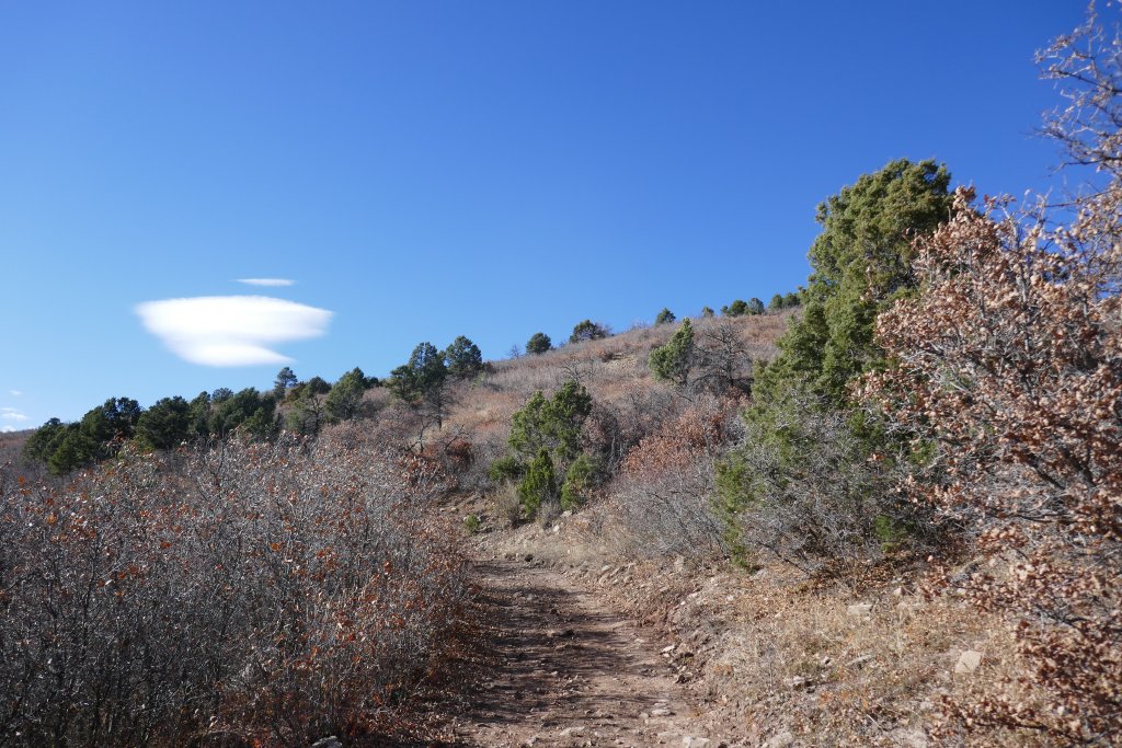
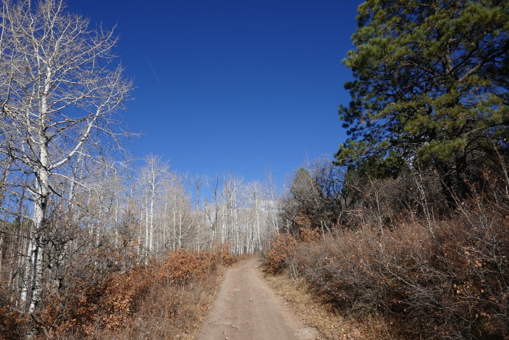
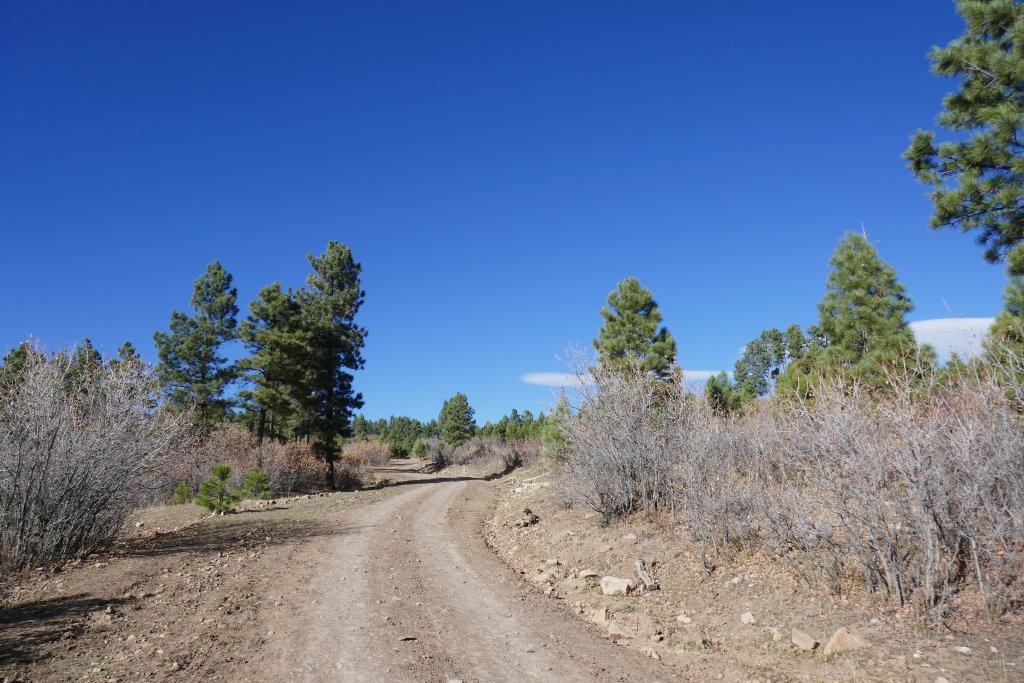
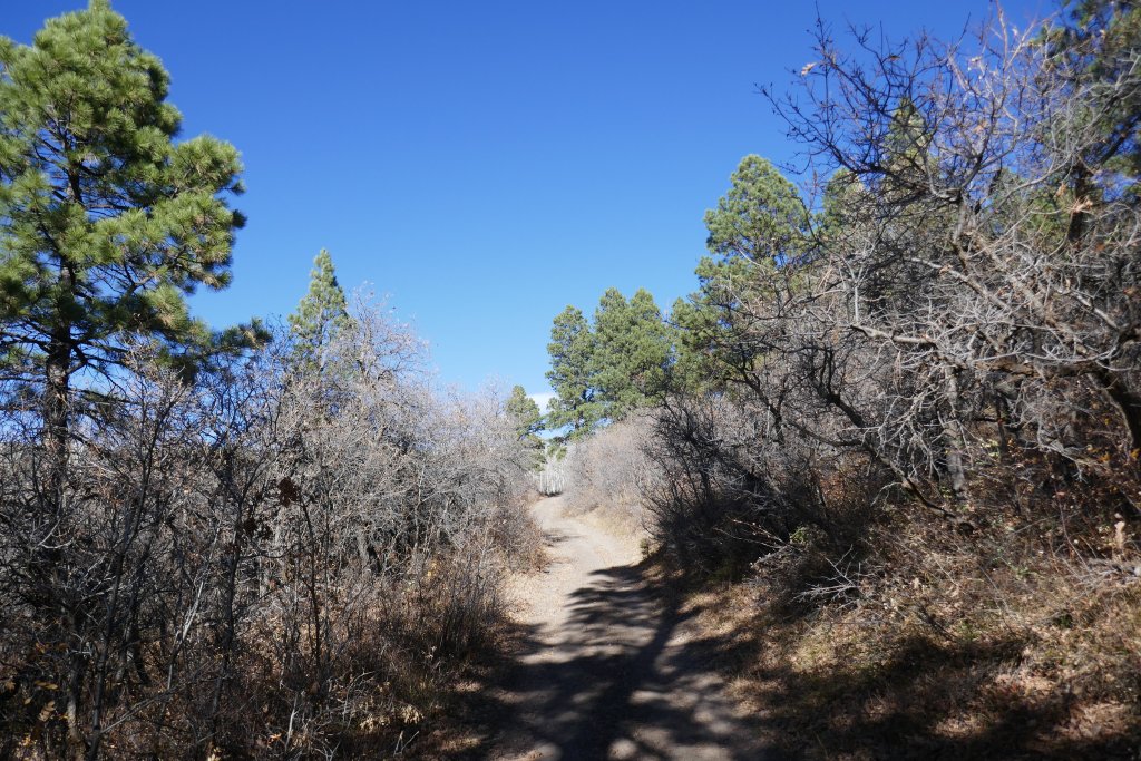
The hill up to Houser Road is steep in spots, and it continued for quite a while before it leveled off at all. It was never really difficult, but we had a great time climbing up it.
We were pretty happy when we got to the next creek crossing, though it was dry. We knew we were a very short distance from Houser Road, and we did the trail pretty quickly. So, we were glad we did it. When we got up to Houser Road, we decided to turn left to do most of that trail to get to Rimrocker Trail and then head back down to Nucla that way.
We actually got back to Naturita in record time when the sun wasn't even completely down. Julie joined us at the hotel, the only place with food, and we had dinner. Even with the scraping and paint damage from scrub oak earlier in the day, this was a fun time.