Corkscrew Gulch

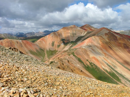
We ran Corkscrew Gulch before running Stony Pass on our way home to Denver from a 3-day offroading vacation in Ouray. The gorgeous weather and red mountains made this trail one of the most beautiful ones we ran during our trip.
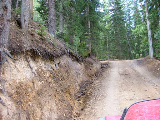
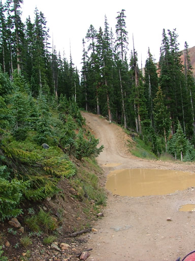
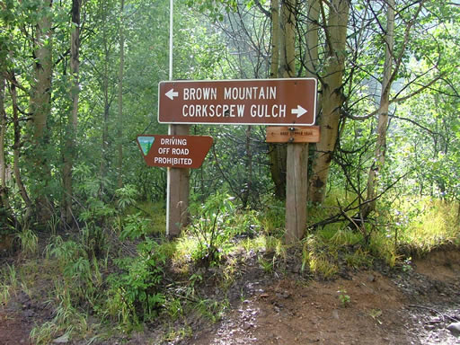
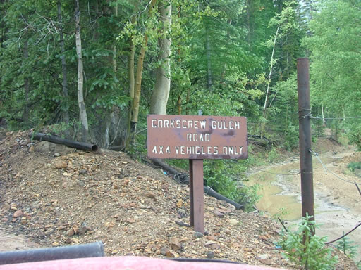
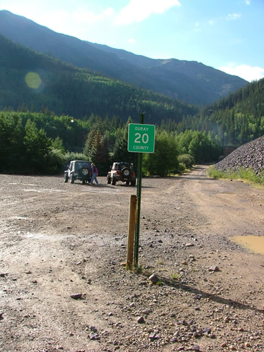
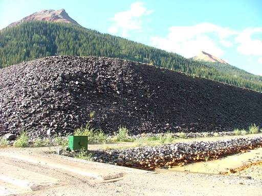
The trailhead has a huge, flat area for airing down and disconnecting. We got an early start and made our way around the rock that looked like a dam. It turned out it wasn't a dam when we could see it from the top. The trail went around it and started climbing.
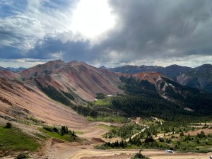
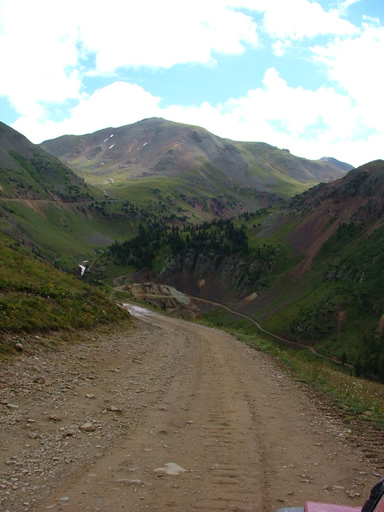
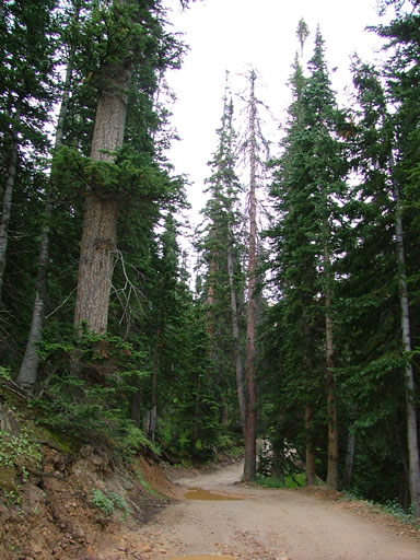
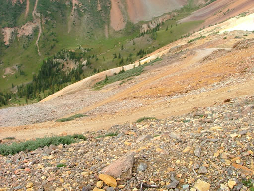
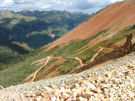
The climb was pretty steep for awhile and then we came out of the heavy trees and saw the Red Mountains. The climb wasn't steep again for a bit and we took the time to do some gawking at the scenery.
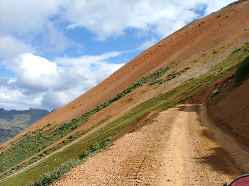
We started climbing again and there were switchbacks but they weren't too severe. We came up over the ridge and the trail continued on but there was also a spur that climbed even more to our right.
We took that and found there wasn't much parking but there was enough room to get out and take some pictures. You could see all around and the views were amazing.
Someone was coming up the other side of the spur and advised some stock 4x4 vehicles not to continue on because the switchbacks on that side were too much. We were intrigued so of course we went on. He wasn't kidding!
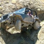
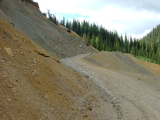
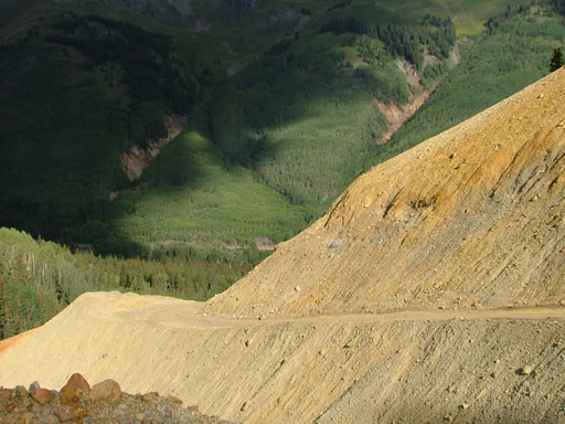
One of the switchbacks was tighter and covered with more loose rock and dirt than anything we'd seen for the whole stay in Ouray. Monica got a little too close to the edge and the small rocks were actually falling off the shelf as she tried to remain calm and back up. Bob played it safer and stayed out of harm's way.
We ended up on a circular overlook and the view was fantastic. The spur wasn't long but it was worth it. We turned around and went back the way we came.
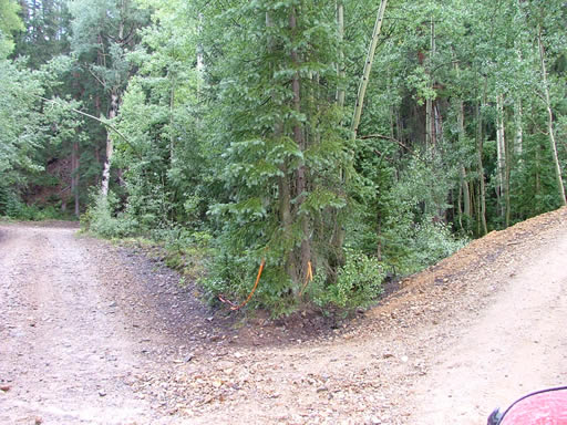
After getting back on the main trail the trip down was pretty steep but smooth so it went quickly. We got a little turned around and got off the main road as we made our way to Silverton but we ended up finding it. We
kept going to Stony Pass.





Reports from Other Days: 4
Use the arrows or dots to flip through the previews of the other reports for Corkscrew Gulch. Click one of them to read more and see all of the photos from that day.