TrailDamage.com

Photos, videos and information about 4x4 trails in Colorado and Utah

  • Trails
    • Colorado
    • Utah
  • Reports
    • Featured Photos
    • Featured Videos
    • Reports Calendar
  • Members
  • Search
  • Trail Damage Winners
  • FAQ
  • Community
  • Upcoming Events
  • Membership
  • Log In
  • Facebook
  • Instagram
  • RSS
  • Twitter
  • YouTube

Cleveland-Lloyd Dinosaur Quarry 150522

May 22, 2015 by Monica

Cleveland-Lloyd Dinosaur Quarry

Trail Run on May 22, 2015
Report and photos by Monica I., Trail Leader
View trail information for Cleveland-Lloyd Dinosaur Quarry

Walt S.
Gray 2018 Jeep Wrangler Unlimited Rubicon
Monica I.
Red 2010 Jeep Wrangler Rubicon
Matt K.
White 2016 Jeep Wrangler Unlimited Rubicon

We kept seeing that photo of the dinosaur skeleton at the Cleveland-Lloyd Dinosaur Quarry so we had to check it out. We figured it wouldn't be much of a trail, but it sounded really cool. We found ourselves at the end of the Green River Cutoff in Castle Dale where we gassed up and headed north on Highway 10 to the little town of Cleveland.

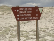
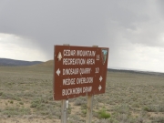
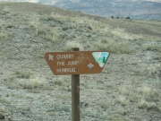
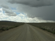
Good luck finding the trailhead without a GPS! We knew it was on the south end of town, and we found the tiniest of signs on the main street pointing the way. We took the beginning of the Cedar Mountain trail until we turned north to head to the quarry.

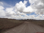
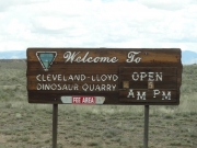
They really, really don't want you to find the place. There are turns here and there that are unmarked, and you don't know the quarry's hours until you are almost there (they closed at 5PM on the Friday we were in the neighborhood). Despite their best efforts, we found the big, developed area and parked.

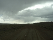
There were a few cars there with us in the dirt lot, and we decided to eat lunch there. Luckily, we didn't notice the picnic tables until after lunch. We barely had time to set the camp chairs out before it started to rain, so we ended up eating in our Jeeps. It was the start of the festive weather for the day.

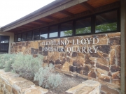
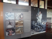
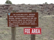
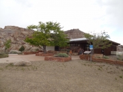
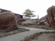
There was a break in the rain and we wrapped up lunch to go check out the museum. It was only a few bucks to get in, and the museum was small. We knew we could walk around and see the quarry for free, but we were glad to support the operation. It's a few staffed buildings, picnic tables, and pit toilets out in the middle of nowhere. They need to make a bit of money somehow.

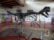
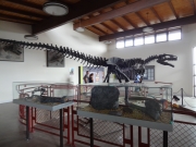
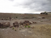
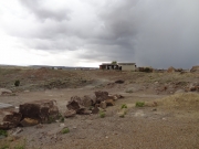
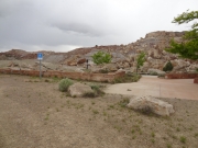
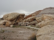
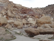
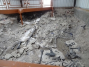
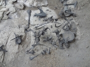
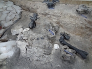
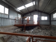
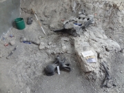
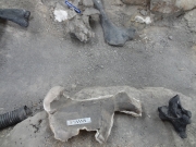
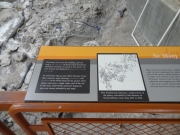
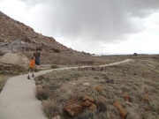
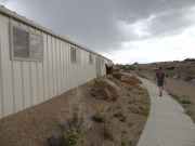
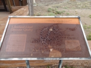
The museum was interesting, though very small. We saw the dinosaur skeleton and then headed outside to walk over to the quarry buildings. Only one was open to the public, and it was pretty cool. There are two doors that lead to two observation areas where you can check out the bones below. It was also a nice place to get out of another round of rain.

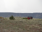
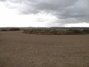
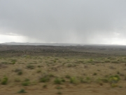
Though it was tough to find and the road itself wasn't at all challenging, we were glad we made the trip. On our way out, we watched the weather hit Cedar Mountain, the highest spot in the area and our next destination. We worked our way back to the intersection with that trail and headed up to the mountain.

blm_sign_1
blm_sign_2
curve
dinosaur_part_1
dinosaur_part_2
exploring
front_of_museum
hours
humbug
information
landmark
looking_back
museum
parked
picnic_area_part_1
picnic_area_part_2
picnic_area_part_3
picnic_area_part_4
quarry_parking
quarry_part_1
quarry_part_2
quarry_part_3
quarry_part_4
quarry_part_5
quarry_part_6
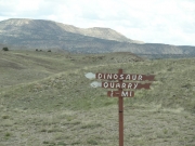
quarry_sign
rain_clouds
rain_on_cedar_mountain
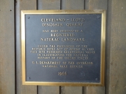
registered_landmark
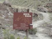
rock_walk
shadows
small_sign
walk_to_the_quarry_part_1
walk_to_the_quarry_part_2
weather
weathered_sign
wild_horses
Join Us!
If you aren’t a Member or Subscriber, you can’t see all of the content on this site. Get membership information to see why this site is best when you join and log in

Information for Subscribers

When you log in you’ll see more information here:

  • Recent Community Forum posts
  • Recent polls
  • Upcoming Events you can attend
  • Links to online users

© 2000-2022 · TrailDamage.com · Terms and Conditions · About · Contact
Trail information is only accurate on the date posted. Trails may have changed or closed since that date. Use this information for historical purposes only.
Contact the Forest Service or Bureau of Land Management for up-to-date trail information.
/* ----------------------------------------- */ /* View slug: reports-other-reports-for-same-trail-slider - start */ /* ----------------------------------------- */ /* place the prev/next controls on the sides */ .td-transition-controls .wpv-filter-next-link, .td-transition-controls .wpv-filter-previous-link { border: none; font-size: 300%; position: absolute; top: 70px; } .td-transition-controls .wpv-filter-previous-link { left: 0; } .td-transition-controls .wpv-filter-next-link { right: 0; } /* center the page selector horizonatally */ .td-transition-controls ul.wpv_pagination_dots { text-align: center; margin-top: 10px; } /* center the page selector horizonatally */ .td-transition-controls ul.wpv_pagination_dots li.wpv_pagination_dots_item, .td-transition-controls .wpv_pagination_dots li a { display: inline-block; float: none; } /* remove the default styles */ .td-transition-controls .wpv_pagination_dots li a { text-decoration: none; border-bottom: none; } .td-slider-container { padding: 0 25px; margin-bottom: 20px; position: relative; width:100%; display:table; } .td-slides { position: relative; } .td-slides-image { float:left; display:table-cell; } .td-slides-image img { border:1px solid #c0c0c0; } .td-slides-content { padding:4px 4px 4px 10px; border-top:1px solid #c0c0c0; border-right:1px solid #c0c0c0; border-bottom:1px solid #c0c0c0; display:table-cell; height:227px; overflow:hidden; } .td-slides-content h3 { margin-top:8px; } .td-slides-leader { font-size:smaller; margin-top:4px; } /* ----------------------------------------- */ /* View slug: reports-other-reports-for-same-trail-slider - end */ /* ----------------------------------------- */
/* ----------------------------------------- */ /* Content Template: Template for a Single Report - start */ /* ----------------------------------------- */ .entry-header { display:none; } .entry-content h1 { margin-top:16px; padding-top:0; } h1 a { color:#222; } h1 a:hover { color:#666; } p.entry-meta { font-size:small; } #report-body-spacer { clear:both; width:100%; height:20px; } #addtoany-bar { margin-bottom:2em; text-align:center; } .category-reports .post-info .author, .post-info .date { display: none; } .addthis_recommended_horizontal { text-align:center !important; } /* ----------------------------------------- */ /* Content Template: Template for a Single Report - end */ /* ----------------------------------------- */ /* ----------------------------------------- */ /* Content Template: Loop item in REPORTS Runners - start */ /* ----------------------------------------- */ #runners-container { width:100%; clear:both; } .runner { border:1px solid #c0c0c0; margin:0 6px 6px 0; float:left; width:49%; height:81px; } .runner-image { float: left; } .runner-image img { margin:2px 10px 0 2px; height:75px; width:75px; } .runner-name { text-transform:uppercase; } .runner-name a { color:#222; } .runner-name a:hover { color:#666; } .runner-vehicle { font-size:small; } @media only screen and (max-width: 768px) { .runner { width:100%; } } /* ----------------------------------------- */ /* Content Template: Loop item in REPORTS Runners - end */ /* ----------------------------------------- */