

TrailDamage.com

Photos, videos and information about 4x4 trails in Colorado and Utah

  • Trails
    • Colorado
    • Utah
  • Reports
    • Featured Photos
    • Reports Calendar
  • Members
  • Search
  • FAQ
  • Community
  • Upcoming Events
  • Membership
  • Log In
  • Facebook
  • Instagram
  • RSS
  • Twitter
  • YouTube
  • Trails
    • Colorado
    • Utah
  • Reports
    • Featured Photos
    • Reports Calendar
  • Members
  • Search
  • FAQ
  • Community
  • Upcoming Events
  • Membership
  • Log In

Cherokee Park Road 160702

July 2, 2016 by Monica

Cherokee Park Road

Trail Run on July 2, 2016
Report and photos by Monica I., Trail Leader
View trail information for Cherokee Park Road

Roger R.
Gray 2021 Jeep Wrangler Rubicon 4xe
Monica I.
Red 2010 Jeep Wrangler Rubicon
Ted M.
White 2009 Jeep Wrangler Unlimited

We weren't sure what to expect from Cherokee Park Road. We thought it would be an easy drive, but we had no idea what the scenery would be like. None of us had been in that area of Colorado before, so we were looking forward to the drive. We came off of Deadman Road and turned right to do the trail in reverse and complete the Red Feather Lakes Loop.

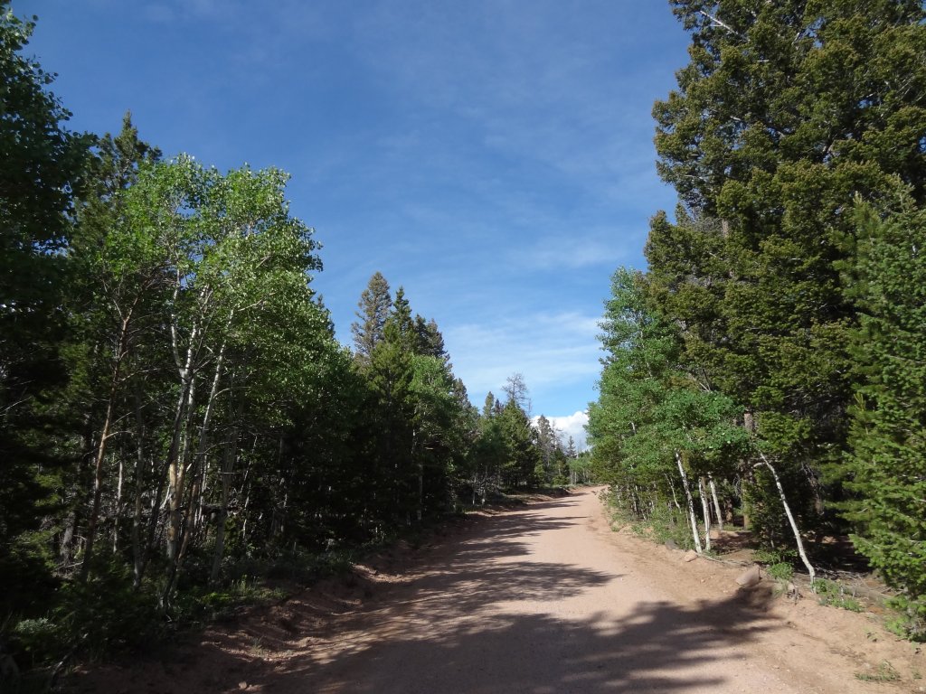
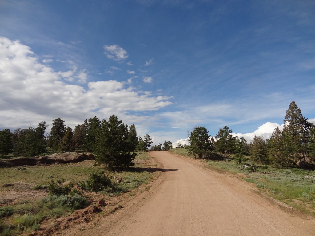
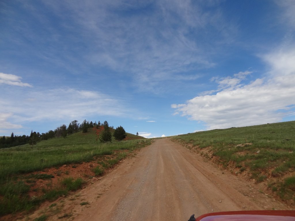
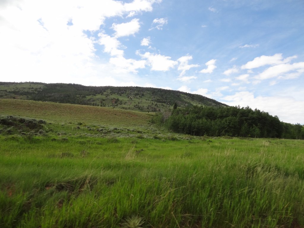
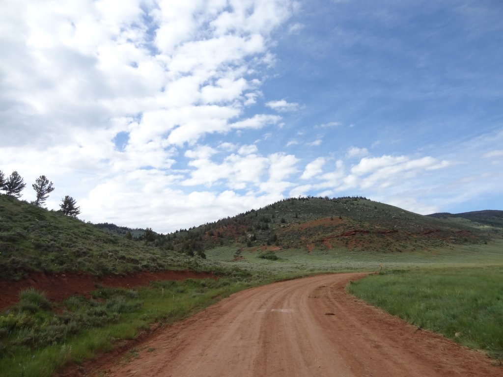
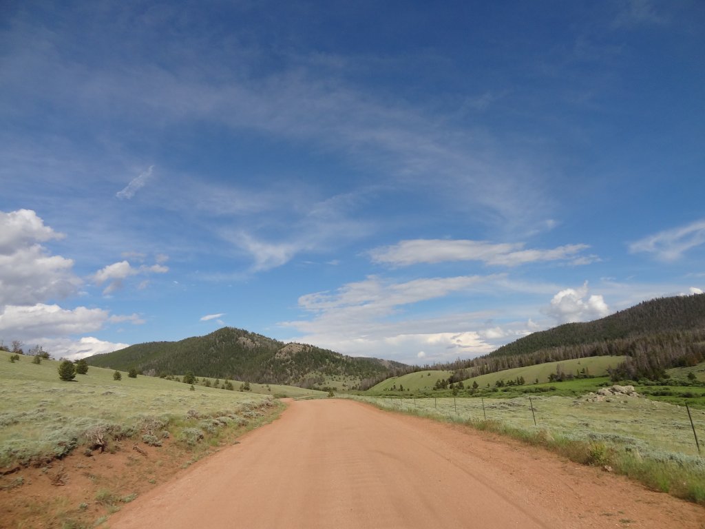
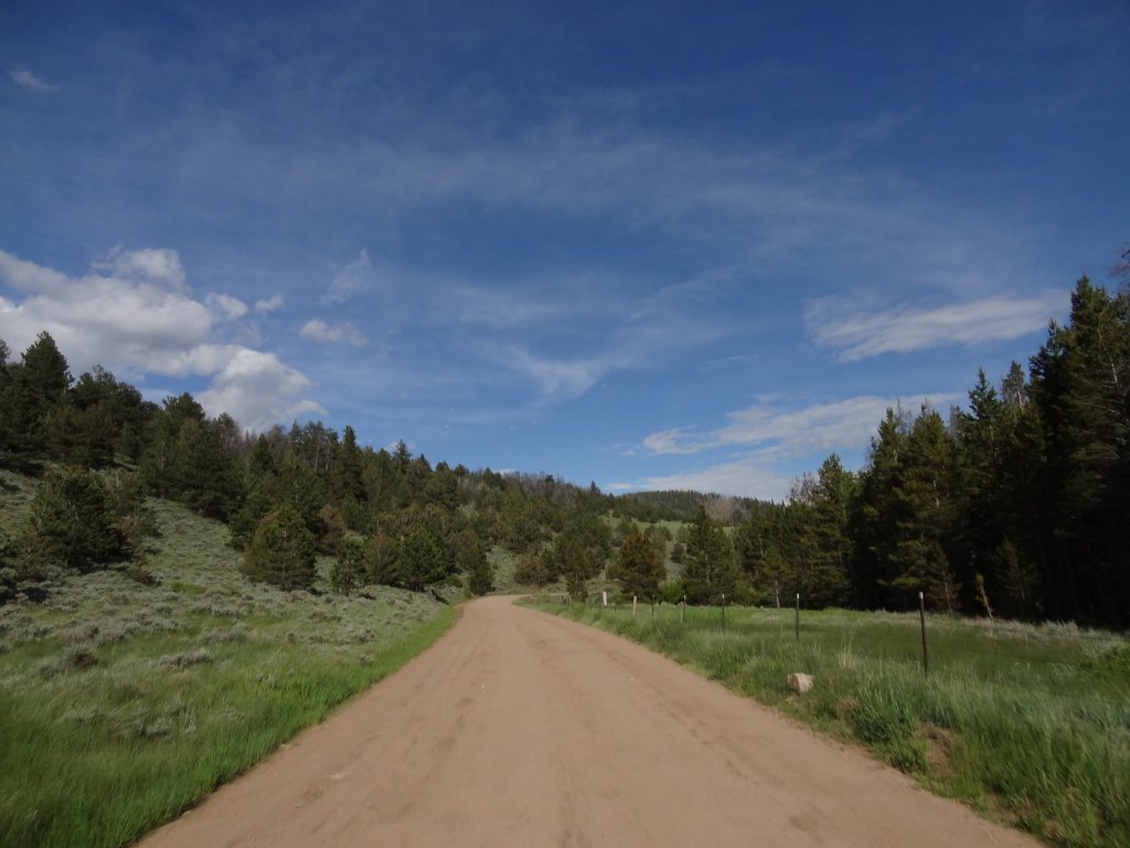
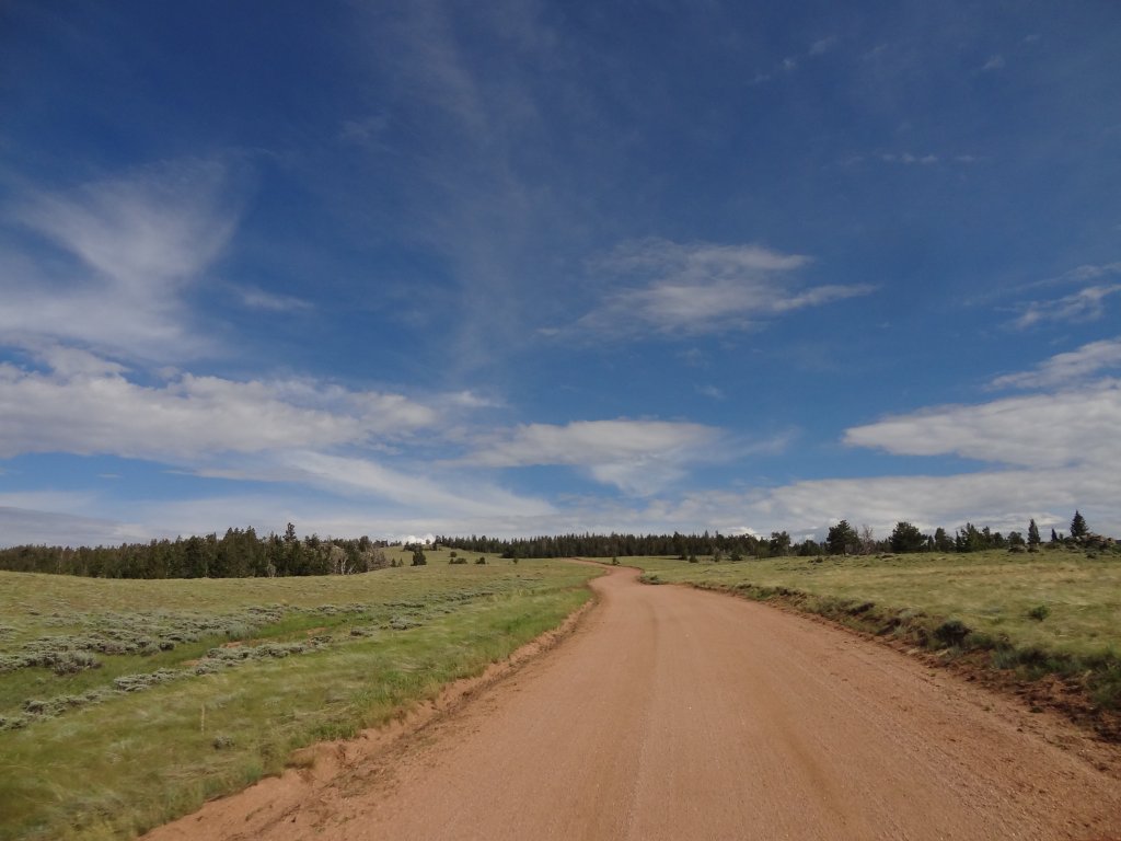
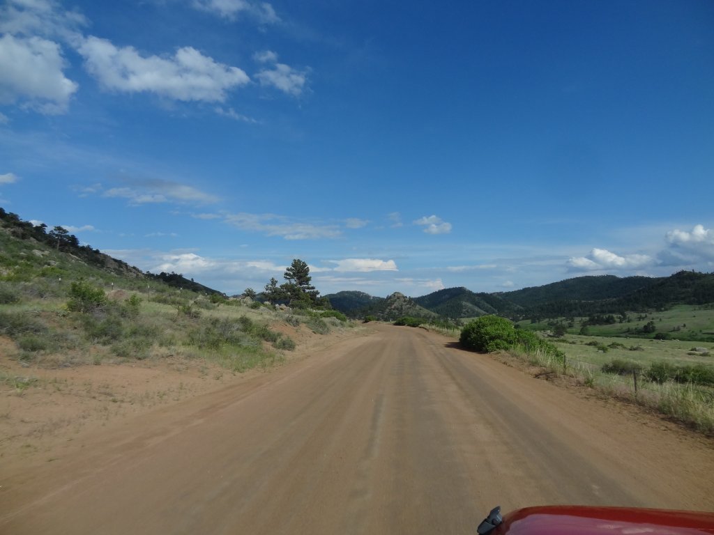
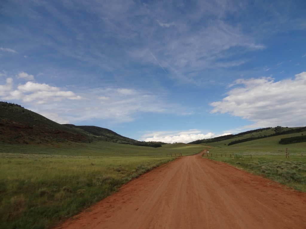
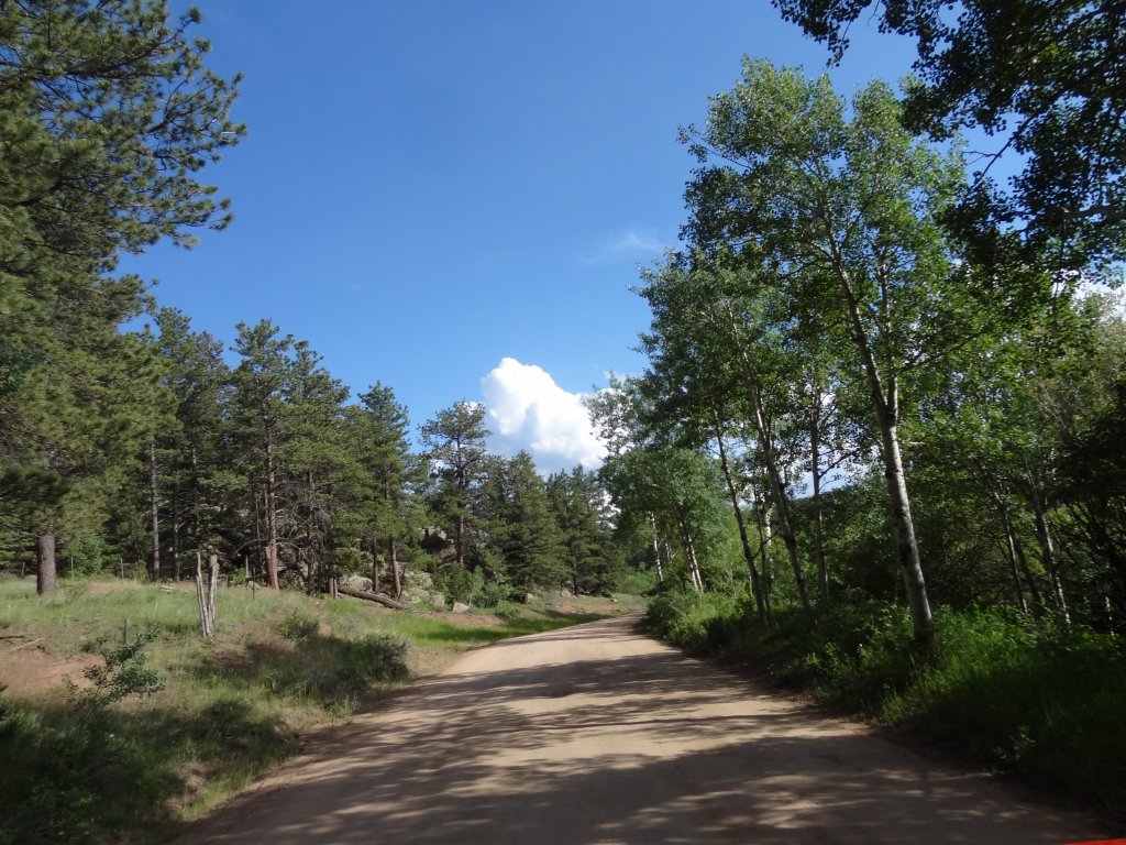
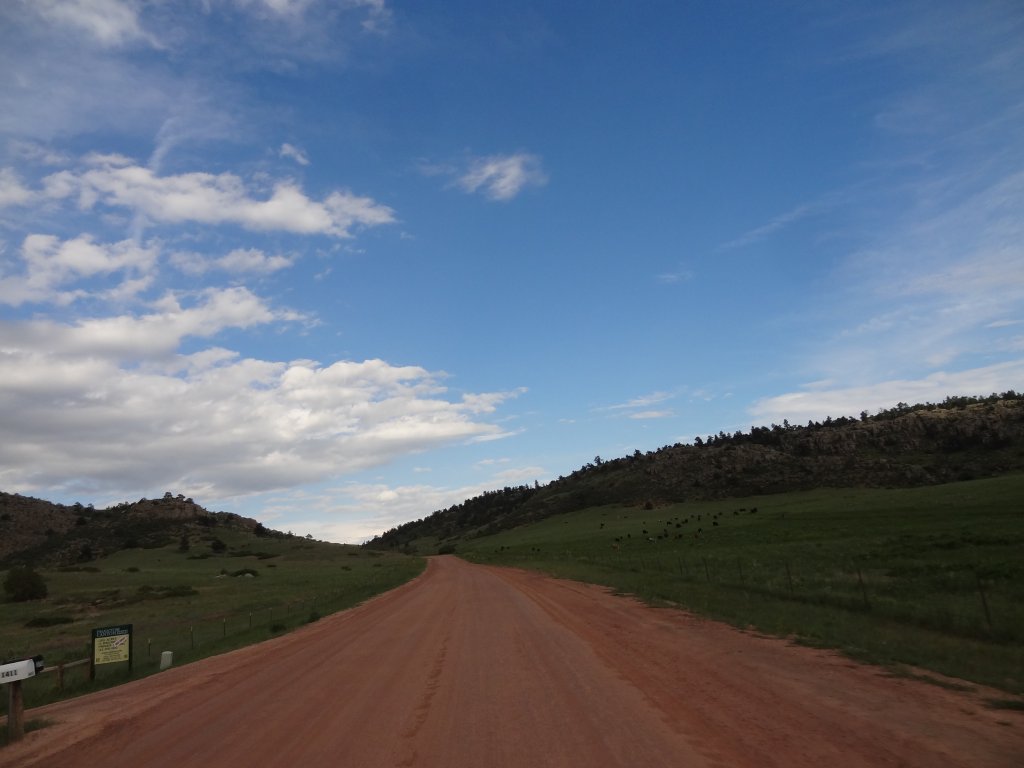
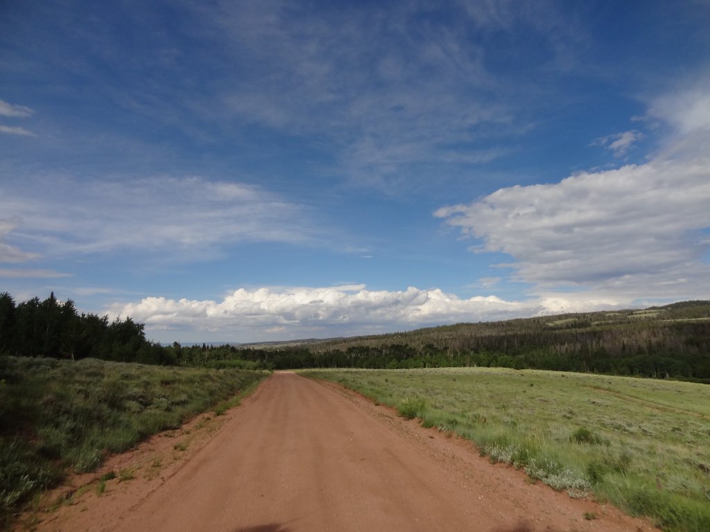
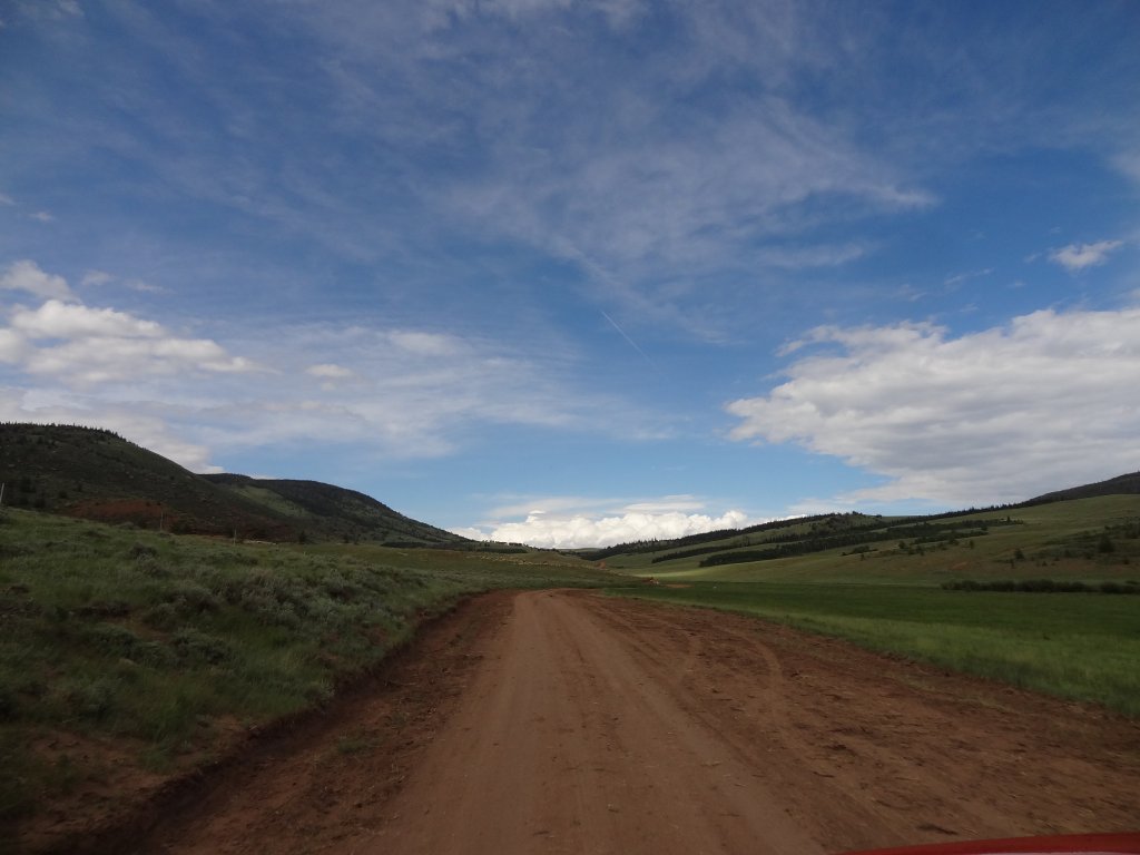
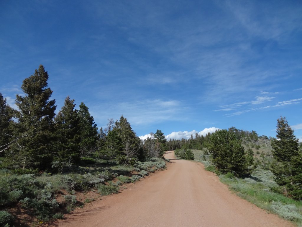
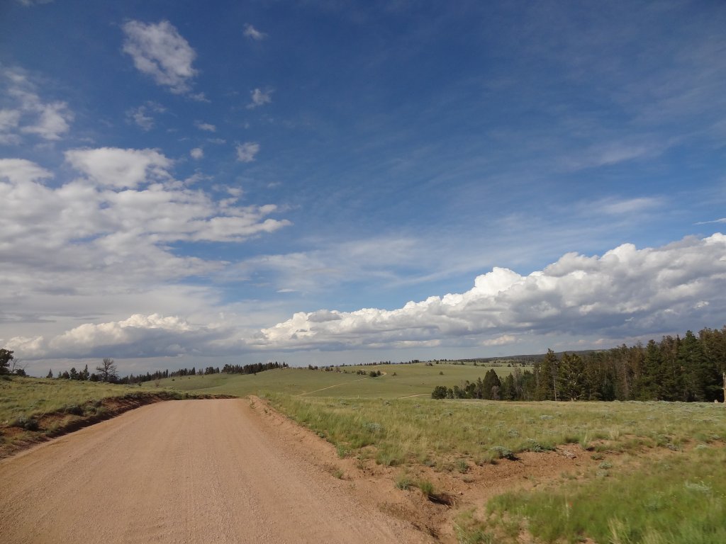
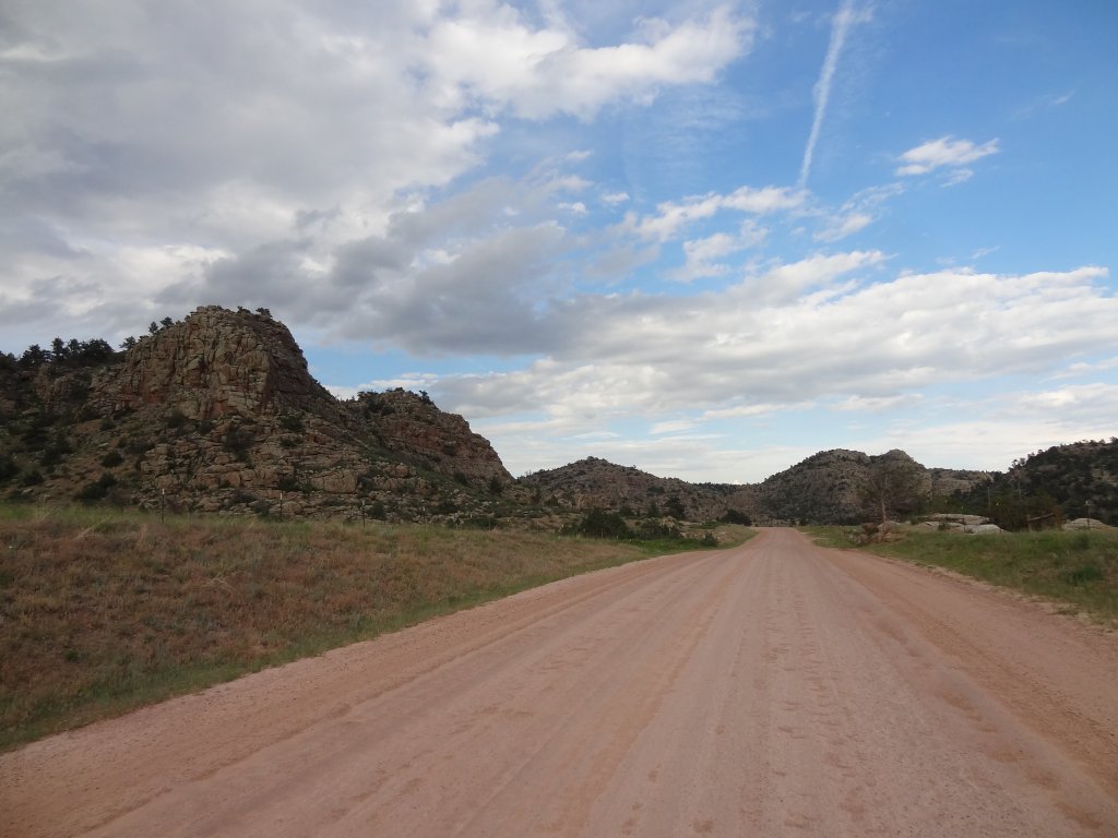
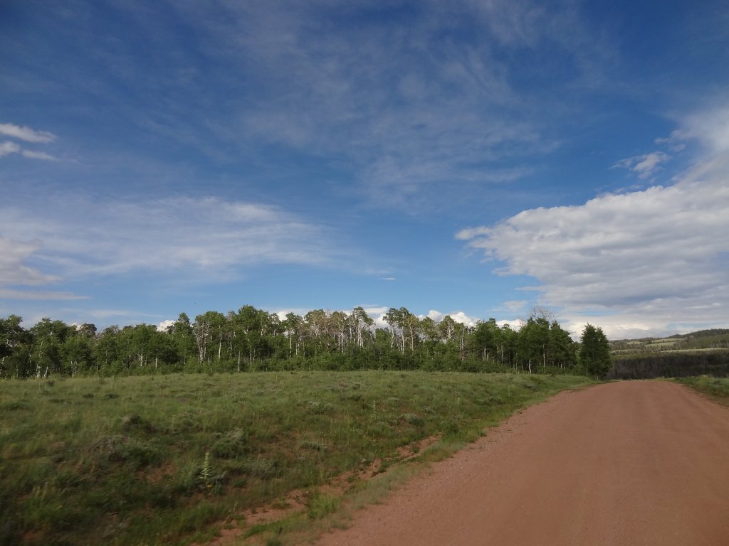
The trail was a climb for us, initially, but it wasn't very steep. It was a very easy road that had recently been graded. The scenery was gorgeous, though. It looked like we were driving through Windows XP wallpaper. We skipped the side trip to Eaton Reservoir and kept heading east.

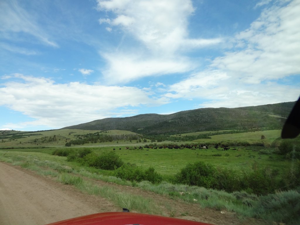
As we passed spur after spur, we knew we'd need to spend some time in the area someday. There was still so much to do. We enjoyed the drive, passing people every once in a while. There were a few ranches here and there, and it was a beautiful place to live.

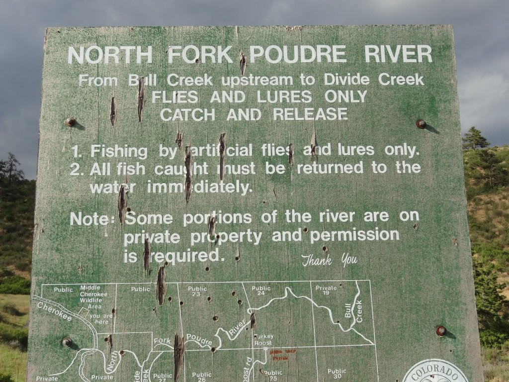
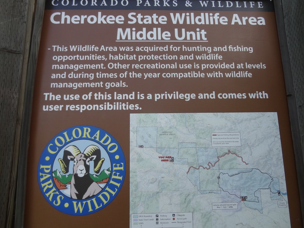
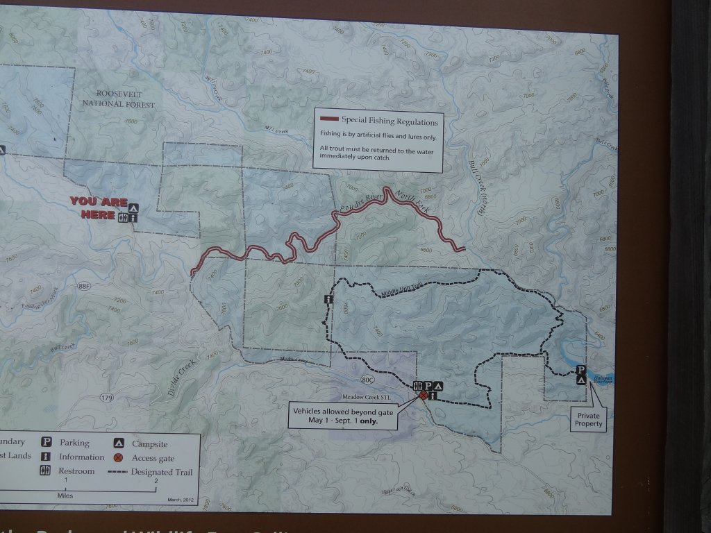
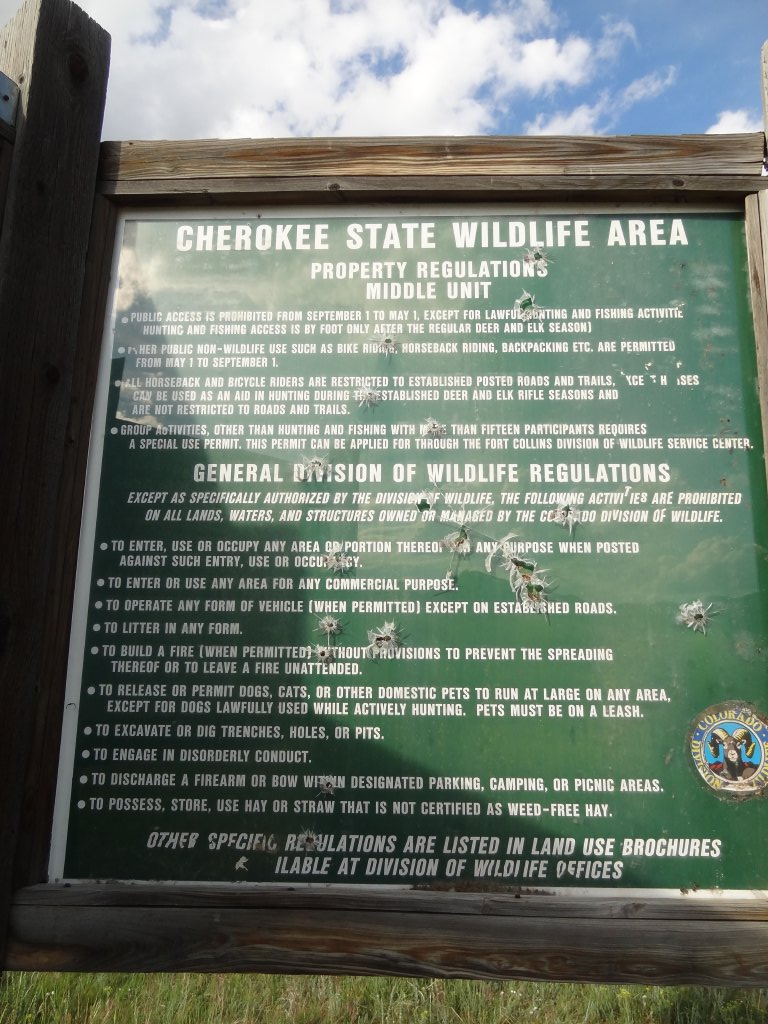
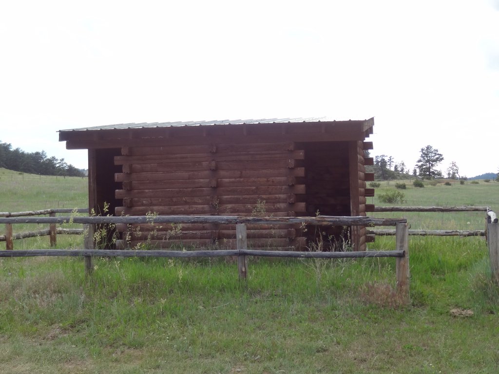
We stopped at one of the pit toilet areas for a break. There was a hiking trail there and information about land use. We kept seeing people fishing, so it must be a popular spot for that. The pit toilets didn't look like they usually did, but they were clean.

We almost stopped for the side trip to Halligan Reservoir, but it had been a long day. We stopped at a wide spot when we were in sight of Highway 287 to air up, and we were off the trail long before sundown. This was a great loop, and it had the potential to give us a great weekend in the future. We'll be back!
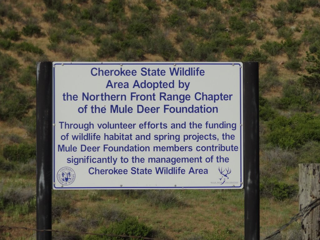
adoption_sign
aspens
between_trees
blue_skies
catch_and_release_sign
climb
greens
kiosk_part_1
kiosk_part_2
kiosk_part_3
little_hill
low_mountains
lush
meadow
mellow_road
open_space
pit_toilets
puffy_cloud
red_road
roomy
shaded
start_of_the_trees
trail_ahead
walls
western_end
Join Us!
If you aren’t a Member or Subscriber, you can’t see all of the content on this site. Get membership information to see why this site is best when you join and log in

Information for Subscribers

When you log in you’ll see more information here:

  • Recent Community Forum posts
  • Recent polls
  • Upcoming Events you can attend
  • Links to online users

© 2000-2026 · TrailDamage.com · Terms and Conditions · About · Contact
Trail information is only accurate on the date posted. Trails may have changed or closed since that date. Use this information for historical purposes only.
Contact the Forest Service or Bureau of Land Management for up-to-date trail information.