Bordenville Gulches



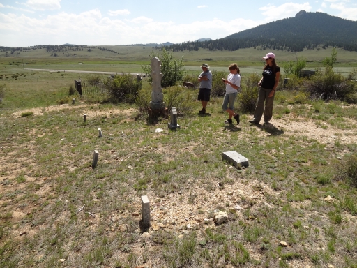
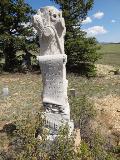
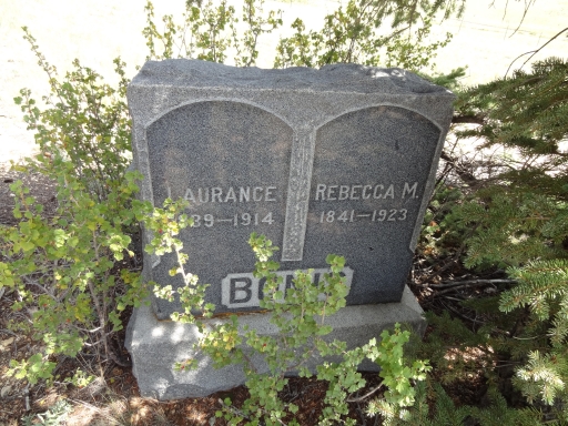
We finished wandering around on the Rock Creek Hills trail and we took the 40mph pavement south a bit to stop at the Bordenville Cemetery. There was plenty of parking room, and we got out to see what we could see. There was a nice informational sign next to the cemetery sign, and that was helpful. It's too bad that most of the town is no longer standing.
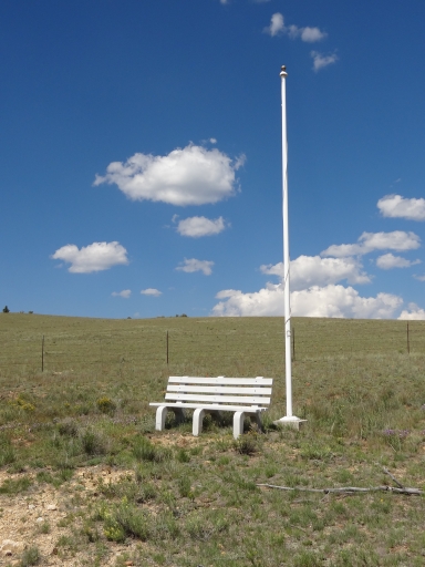
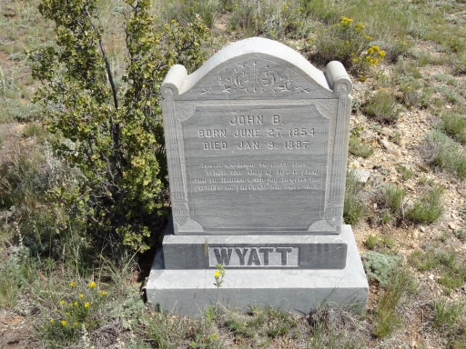
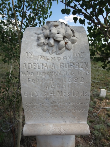
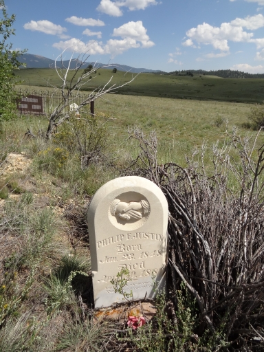
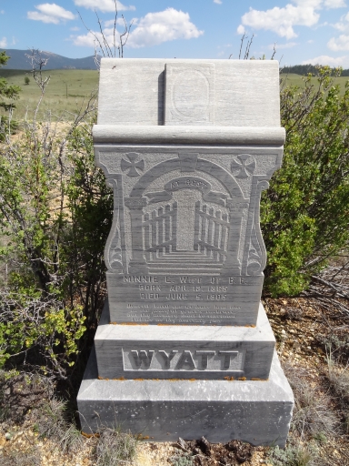
There were a few headstones to see, and they were all in really good condition. You could tell that someone was taking care of them. There was even a nice bench to use if you needed to sit. We talked about how people really didn't live as long back then, and how live must have been so difficult.
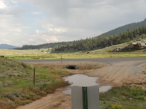
We paid our respects and headed over to the trailhead. Roger decided to see if a trail next to the cemetery connected to the main trail, but it didn't. We all had to go back out to the pavement to get to the trail.
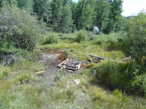
We had a plan in mind after looking at the maps, but we ended up adding more to it when we added the eastern spurs. We were really glad we did. The easternmost spur ended at a large area with a campfire ring and a hiking trail, all next to Old House Creek. We stayed there for a long time, relaxing and letting the kids get rid of some energy after being trapped in a Jeep. It was a really nice spot.
We tried the next spur, and there was a truck parked right in the middle of the trail near the end of it. We managed to squeeze by, and when we got back the hunter was packing up his stuff. He wasn't hurrying and he didn't look at us at all. He also didn't move his truck or apologize. It was very strange and really rude, but we got around him again.
After that, the other people we saw were friendly. But we didn't see very many people at all. The middle spur ended up being a little uneventful, and when we got to the intersection with the last, westernmost spur Bryan left us to head out. The rest of the group headed off to see the remaining bit of trail.
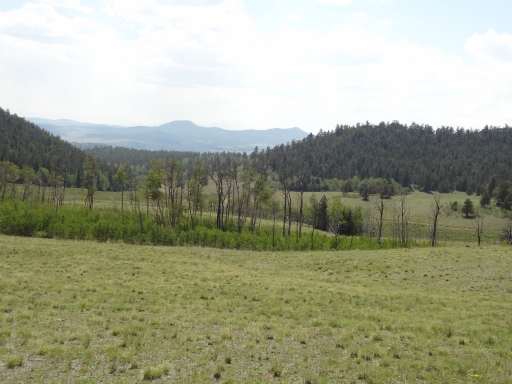
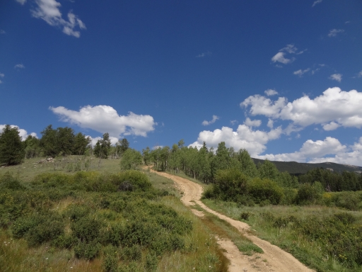
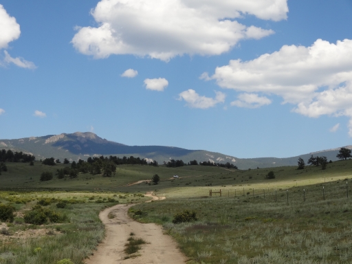
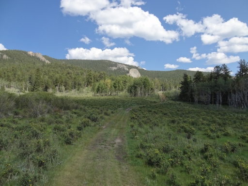
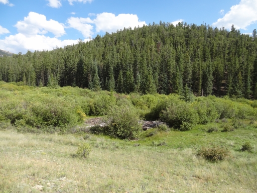
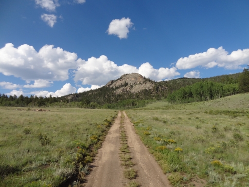
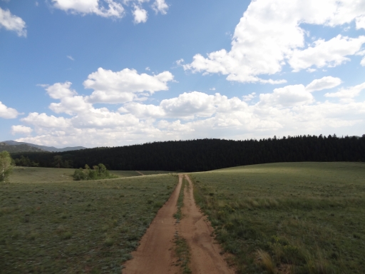
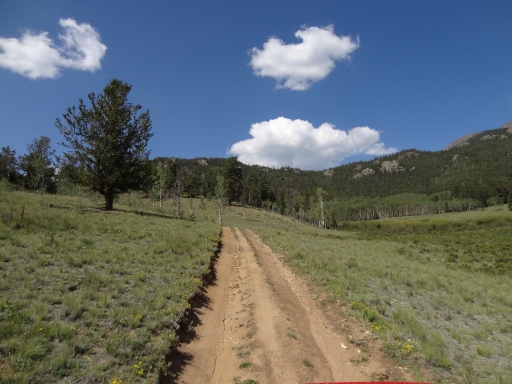
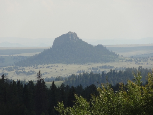
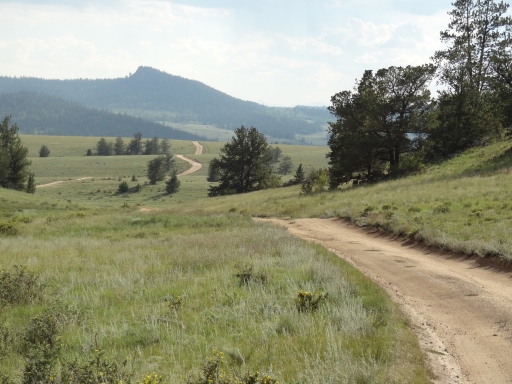
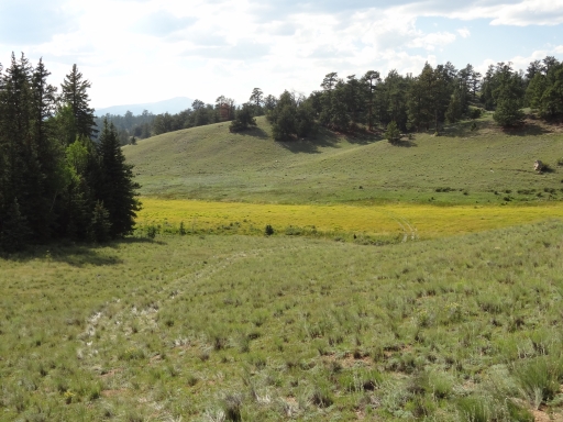
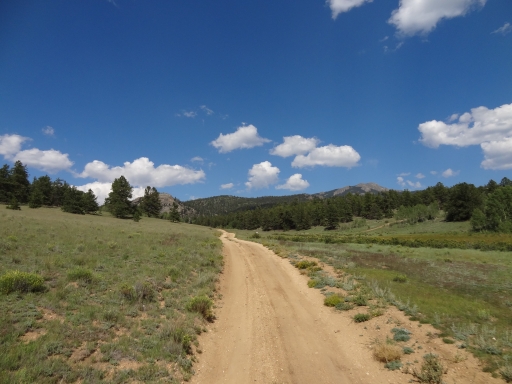
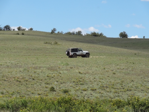
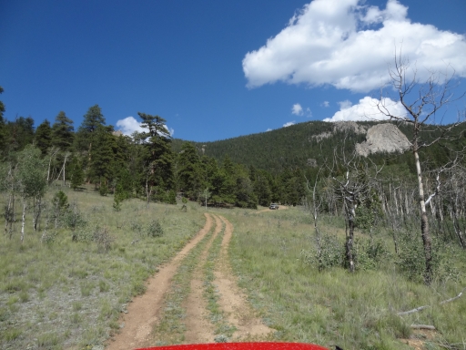
It was probably the most scenic area of the whole trail, and we really enjoyed it. There were different shades of green in the grasses and trees, and the trail reached a high, open area that provided some big views. There were strips in the hillside created long ago, and we wondered how they came to be. Mining? Farming? It was hard to say. The spur ended in the trees, but the views along the way were worth the trip.
We worked our way back out to the end of the trail where we aired up. We stopped at the Stage Stop for dinner but no one said anything to us and there were dogs wandering all over the place, so we left. We stopped in Bailey for dinner instead, and it ended up being a great choice. It was a great day, and we already had plans to go back to explore the many other trails in the area.