TrailDamage.com

Photos, videos and information about 4x4 trails in Colorado and Utah

  • Trails
    • Colorado
    • Utah
  • Reports
    • Featured Photos
    • Featured Videos
    • Reports Calendar
  • Members
  • Search
  • Trail Damage Winners
  • FAQ
  • Community
  • Upcoming Events
  • Membership
  • Log In
  • Facebook
  • Instagram
  • RSS
  • Twitter
  • YouTube

Bolam Pass 080828

August 28, 2008 by Monica

Bolam Pass

Trail Run on August 28, 2008
Report and photos by Monica I., Trail Leader
View trail information for Bolam Pass

Monica I.
Red 2010 Jeep Wrangler Rubicon
Walt S.
Gray 2022 Jeep Wrangler Unlimited Rubicon 392
Michael M.
Black 2006 Jeep Wrangler Unlimited Rubicon

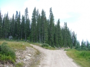
We were over on Highway 145 and we needed to get back to Highway 550 and Silverton. There are a few options, and staying on the pavement meant the highest number of miles. We thought we'd check out something different, so we headed down south to the Bolam Pass trail.

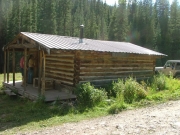
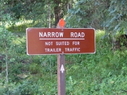
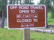
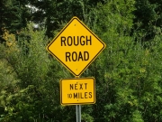
We were running it from west to east, so we started out in Dolores County. It was pretty mellow, but then there was a sign noting that the trail got rough. We checked out a cabin that was locked up and apparently being renovated, and then we started up.

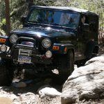
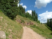
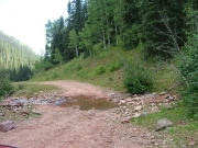
It was definitely bumpy! We realized how far we had to go, and if it stayed that bumpy it would be a long trail, for sure. Luckily, the bumpiness mellowed out soon enough.

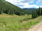
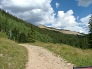
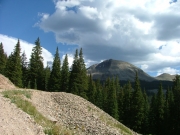
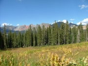
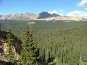
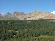
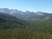
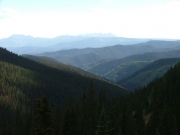
It seemed like we had climbed to the top, and the trail was fairly level. We saw on our GPS units that we were at Bolam Pass (we didn't see a sign). The sights from this point were very impressive. We were on the edge of a cliff looking out on Tin Can Basin, and you could see mountains in layers in the distance. It was very pretty.

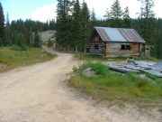
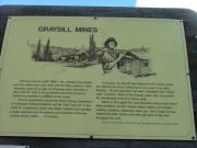
We went around the cliff's edge and turned left at an intersection (straight said it was a dead end). After a corner, we came to a parking area at Graysill Mines. We got out to check it out.

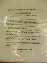
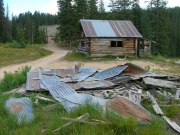
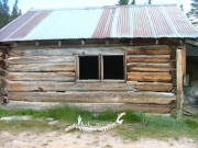
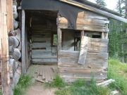
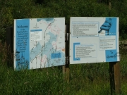
There were skeletons of two animals there, obviously placed by people. There was a sign to read that explained the mining purposes in the area. The one cabin we looked at was still standing, but pretty trashed on the inside.

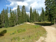
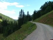
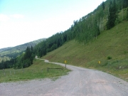
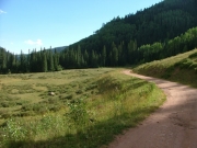
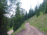
We were soon on our way and heading down the switchbacks. The trail was pretty mellow, so it was fairly quick. After the switchbacks there were some ruts, so we had to slow down again.

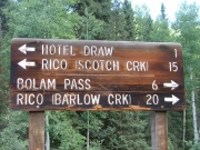
Then we saw some people camping -- with a horse trailer. So we knew it had to be a fairly smooth trail on the other side. They definitely didn't drag it up the way we came. Soon after that, we came to the intersection with Scotch Creek.

We had hoped to run Scotch Creek from here to the trailhead and back again, but the sun was really going down fast. Another huge truck and horse trailer went by, so we really were sure that the rest of the trail would be mellow. We took a vote, and we decided to do Scotch Creek -- of course!

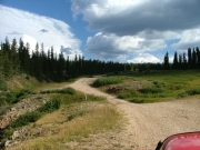
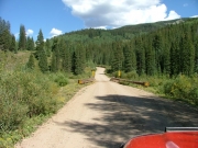
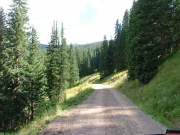
Scotch Creek was a blast, and it took us a little while to get back to the intersection with Bolam Pass again. It was nearly dark when we started in on the south half of the trail, and it was pitch black for most of the way out. Still, it was a smooth and fast road.

We were tired but happy when we were airing up across the highway from the ski area. It was a long day, but it was great! Unfortunately, when we got to town we found everything closed. That meant a dinner of snacks and nutrition bars. We all headed for bed. What a great day!

across_the_top
blue_sky
bridge_near_the_end
bumpy_trail
closed_cabin_sign
closed_cabin
curves
easy_road
follow_the_sign
forest_service_sign
gate
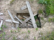
graysill_mine_shaft
graysill_mines_building_part_1
graysill_mines_building_part_2
graysill_mines_building_part_3
graysill_mines_building_part_4
graysill_mines_sign_1
graysill_mines_sign_2
green
hermosa_peak
intersection_with_scotch_creek
meadow
mellow_trail
narrow_climb
no_trailers
pond
rico_mountains_part_1
rico_mountains_part_2
rico_mountains_part_3
sign_at_the_end_2
sign_at_the_end
spur
stay_on_the_trail
sun_setting
switchback
talus
warning_sign
water_crossing
wavy_road
Join Us!
If you aren’t a Member or Subscriber, you can’t see all of the content on this site. Get membership information to see why this site is best when you join and log in

Information for Subscribers

When you log in you’ll see more information here:

  • Recent Community Forum posts
  • Recent polls
  • Upcoming Events you can attend
  • Links to online users

© 2000-2022 · TrailDamage.com · Terms and Conditions · About · Contact
Trail information is only accurate on the date posted. Trails may have changed or closed since that date. Use this information for historical purposes only.
Contact the Forest Service or Bureau of Land Management for up-to-date trail information.

/* ----------------------------------------- */ /* View slug: reports-other-reports-for-same-trail-slider - start */ /* ----------------------------------------- */ /* place the prev/next controls on the sides */ .td-transition-controls .wpv-filter-next-link, .td-transition-controls .wpv-filter-previous-link { border: none; font-size: 300%; position: absolute; top: 70px; } .td-transition-controls .wpv-filter-previous-link { left: 0; } .td-transition-controls .wpv-filter-next-link { right: 0; } /* center the page selector horizonatally */ .td-transition-controls ul.wpv_pagination_dots { text-align: center; margin-top: 10px; } /* center the page selector horizonatally */ .td-transition-controls ul.wpv_pagination_dots li.wpv_pagination_dots_item, .td-transition-controls .wpv_pagination_dots li a { display: inline-block; float: none; } /* remove the default styles */ .td-transition-controls .wpv_pagination_dots li a { text-decoration: none; border-bottom: none; } .td-slider-container { padding: 0 25px; margin-bottom: 20px; position: relative; width:100%; display:table; } .td-slides { position: relative; } .td-slides-image { float:left; display:table-cell; } .td-slides-image img { border:1px solid #c0c0c0; } .td-slides-content { padding:4px 4px 4px 10px; border-top:1px solid #c0c0c0; border-right:1px solid #c0c0c0; border-bottom:1px solid #c0c0c0; display:table-cell; height:227px; overflow:hidden; } .td-slides-content h3 { margin-top:8px; } .td-slides-leader { font-size:smaller; margin-top:4px; } /* ----------------------------------------- */ /* View slug: reports-other-reports-for-same-trail-slider - end */ /* ----------------------------------------- */
/* ----------------------------------------- */ /* Content Template: Template for a Single Report - start */ /* ----------------------------------------- */ .entry-header { display:none; } .entry-content h1 { margin-top:16px; padding-top:0; } h1 a { color:#222; } h1 a:hover { color:#666; } p.entry-meta { font-size:small; } #report-body-spacer { clear:both; width:100%; height:20px; } #addtoany-bar { margin-bottom:2em; text-align:center; } .category-reports .post-info .author, .post-info .date { display: none; } .addthis_recommended_horizontal { text-align:center !important; } /* ----------------------------------------- */ /* Content Template: Template for a Single Report - end */ /* ----------------------------------------- */ /* ----------------------------------------- */ /* Content Template: Loop item in REPORTS Runners - start */ /* ----------------------------------------- */ #runners-container { width:100%; clear:both; } .runner { border:1px solid #c0c0c0; margin:0 6px 6px 0; float:left; width:49%; height:81px; } .runner-image { float: left; } .runner-image img { margin:2px 10px 0 2px; height:75px; width:75px; } .runner-name { text-transform:uppercase; } .runner-name a { color:#222; } .runner-name a:hover { color:#666; } .runner-vehicle { font-size:small; } @media only screen and (max-width: 768px) { .runner { width:100%; } } /* ----------------------------------------- */ /* Content Template: Loop item in REPORTS Runners - end */ /* ----------------------------------------- */