Big Water Canyon


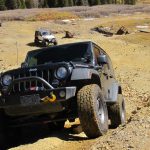
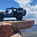
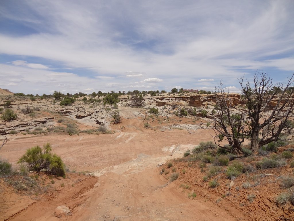
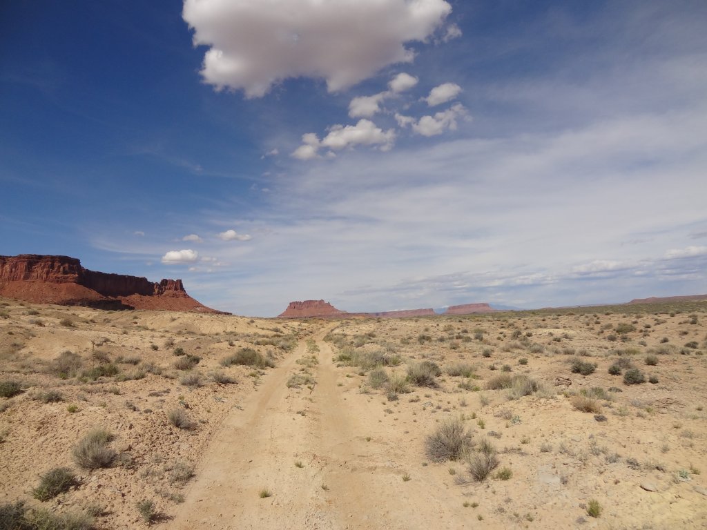
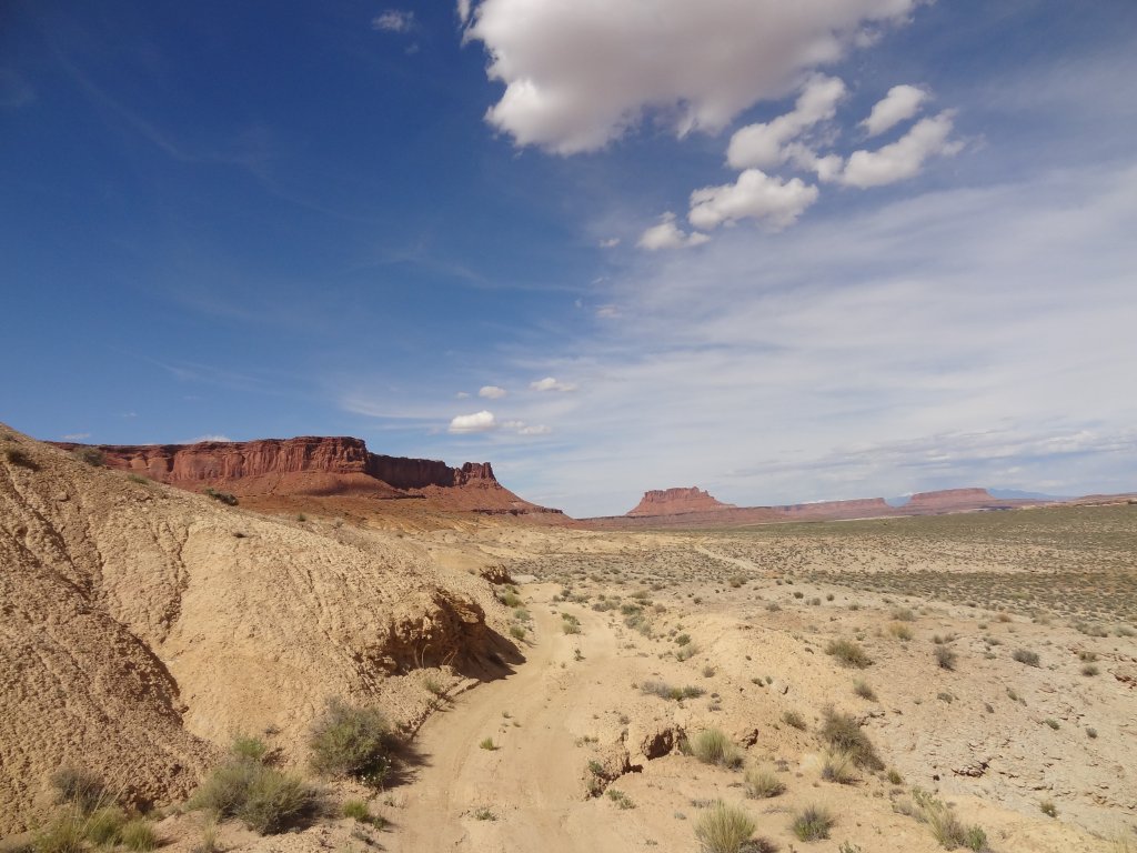
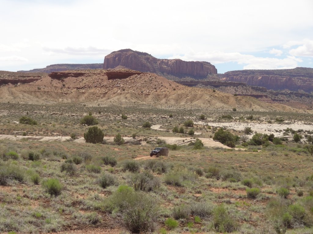
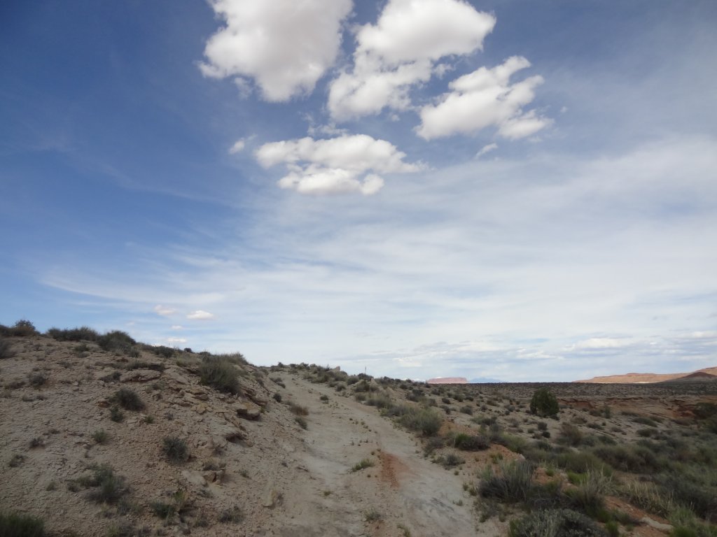
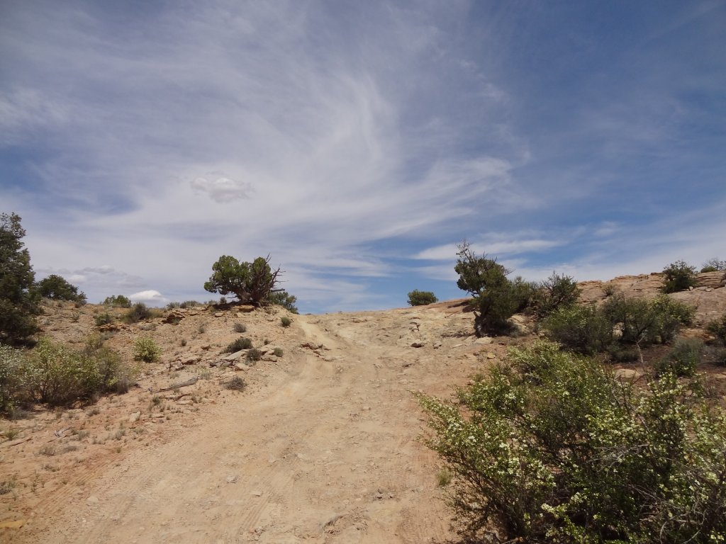
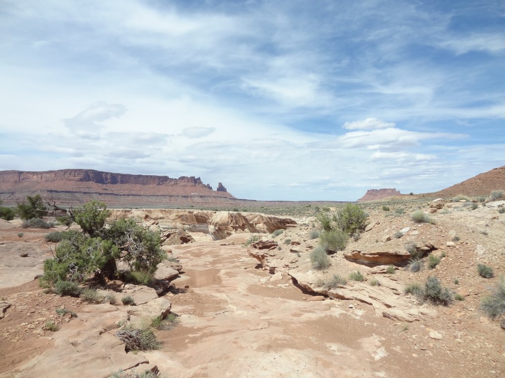
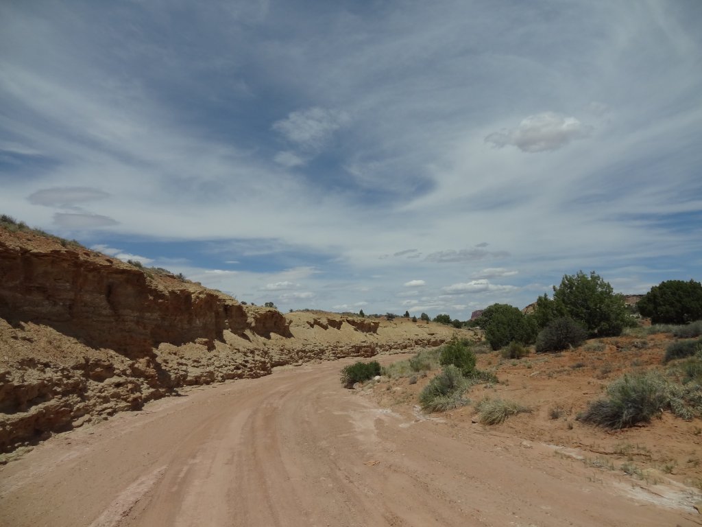
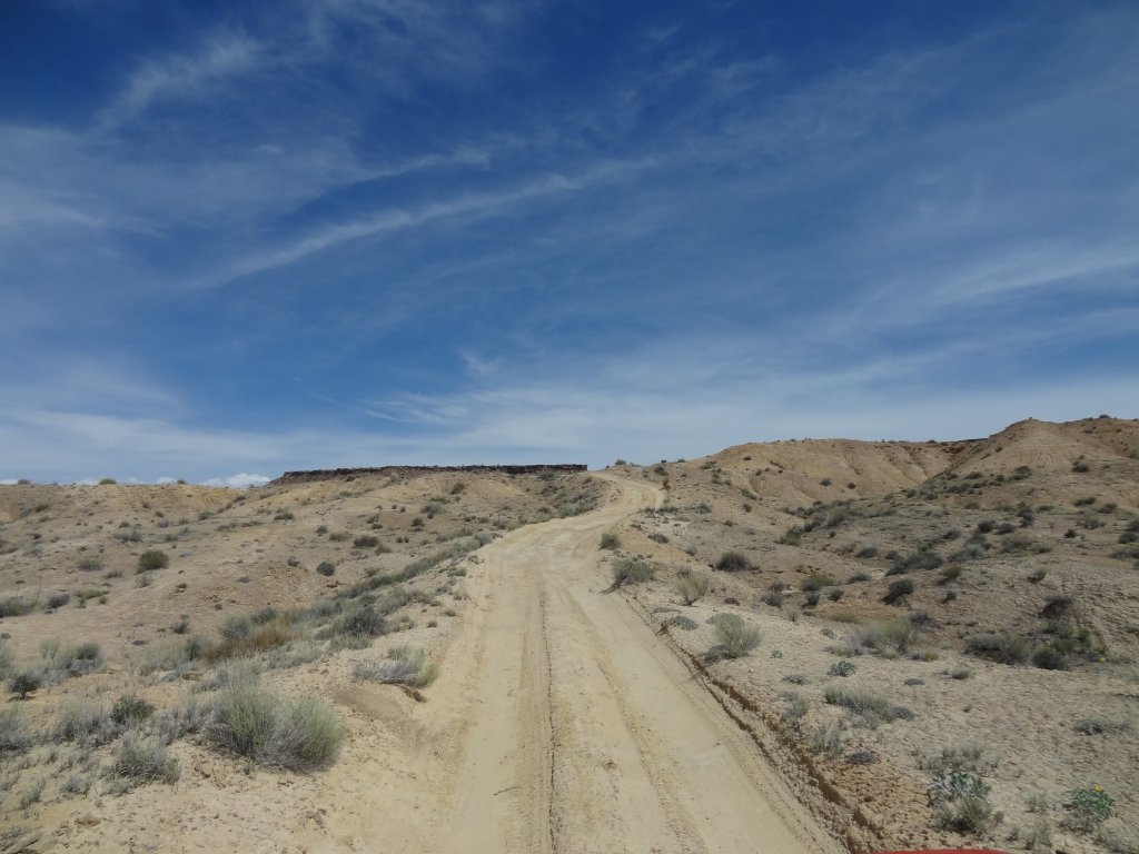
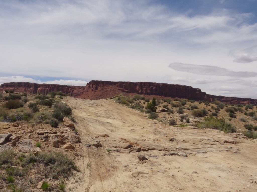
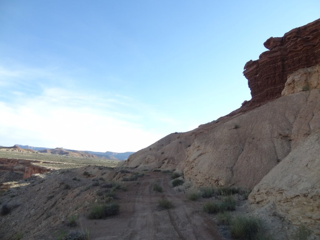
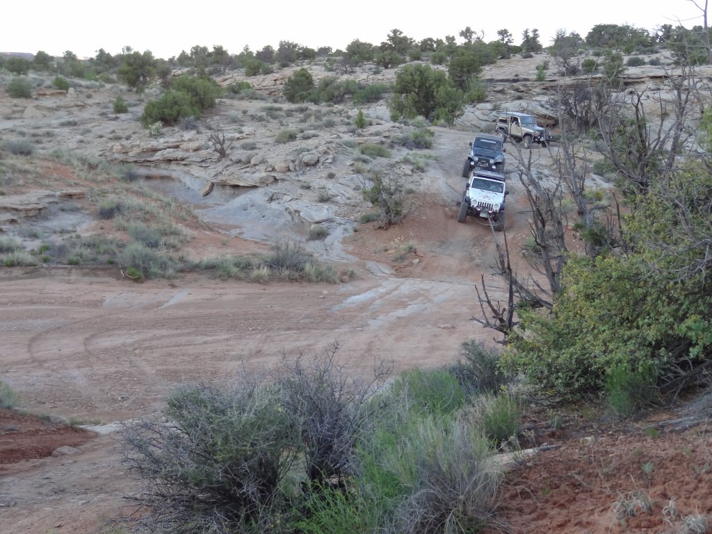
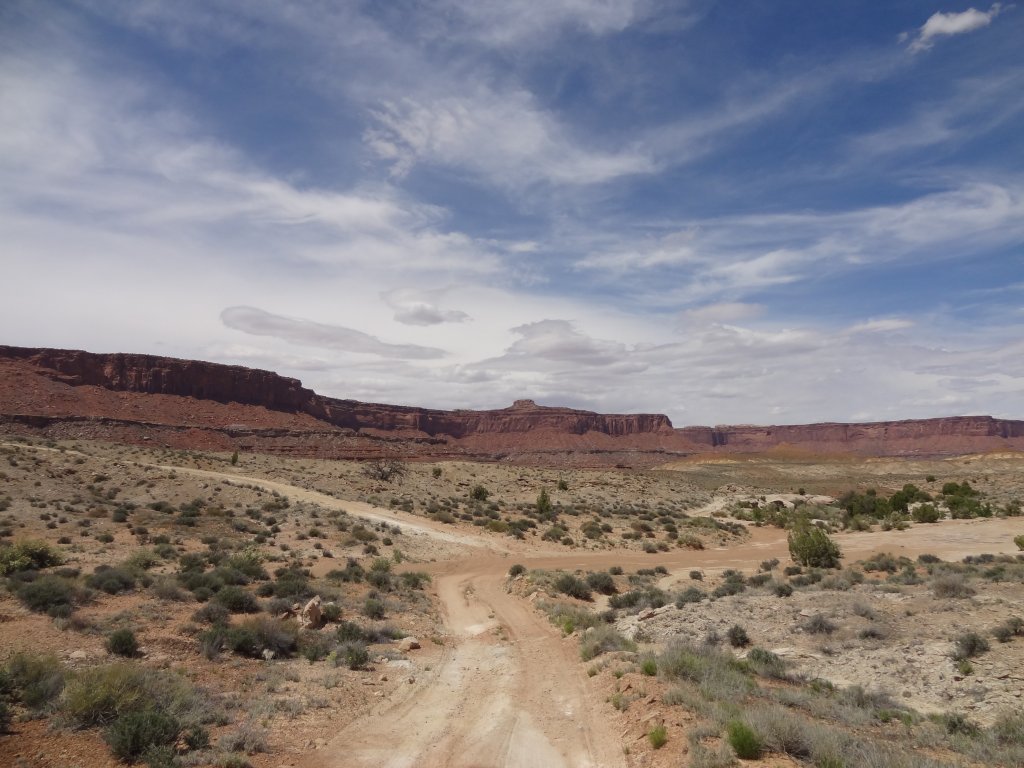
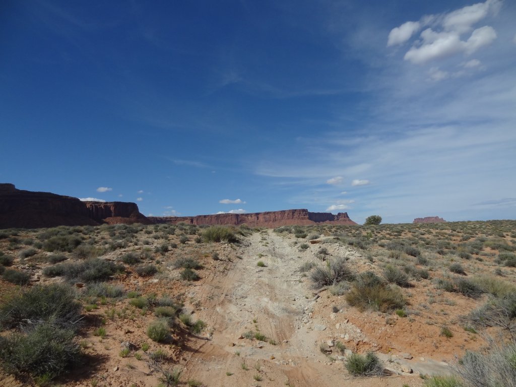
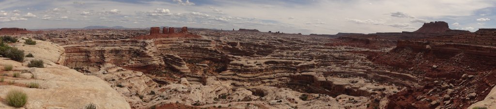
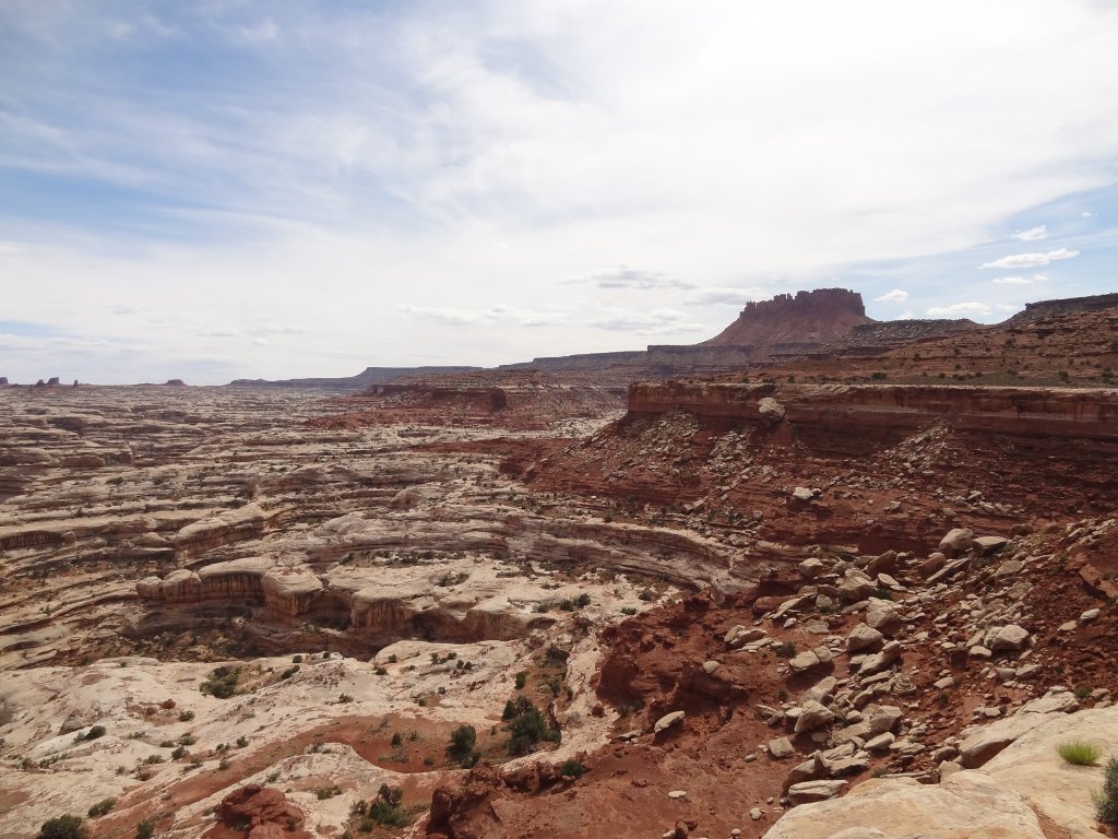
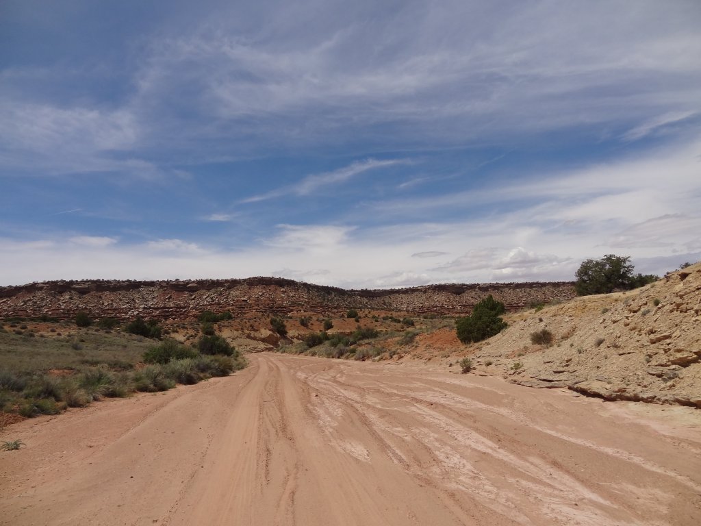
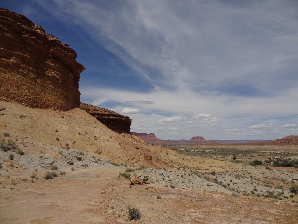
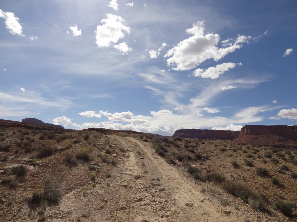
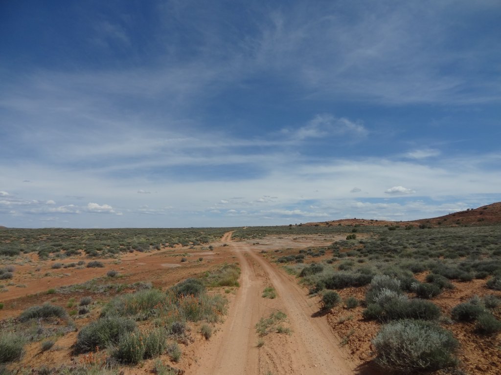
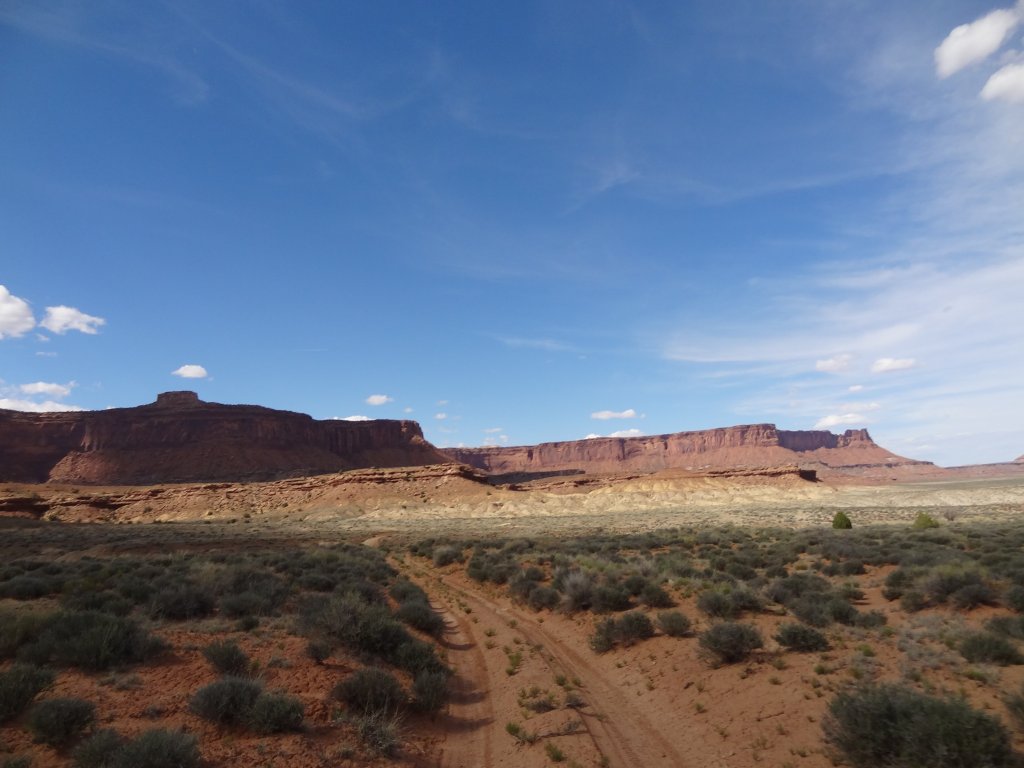
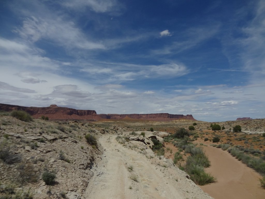
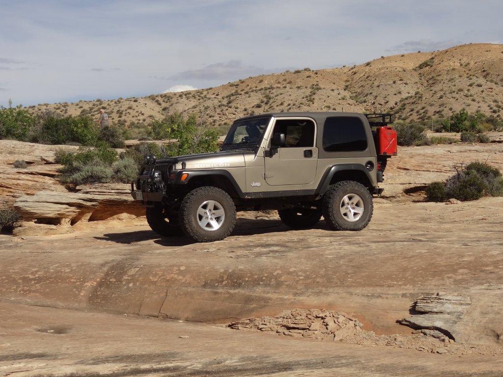
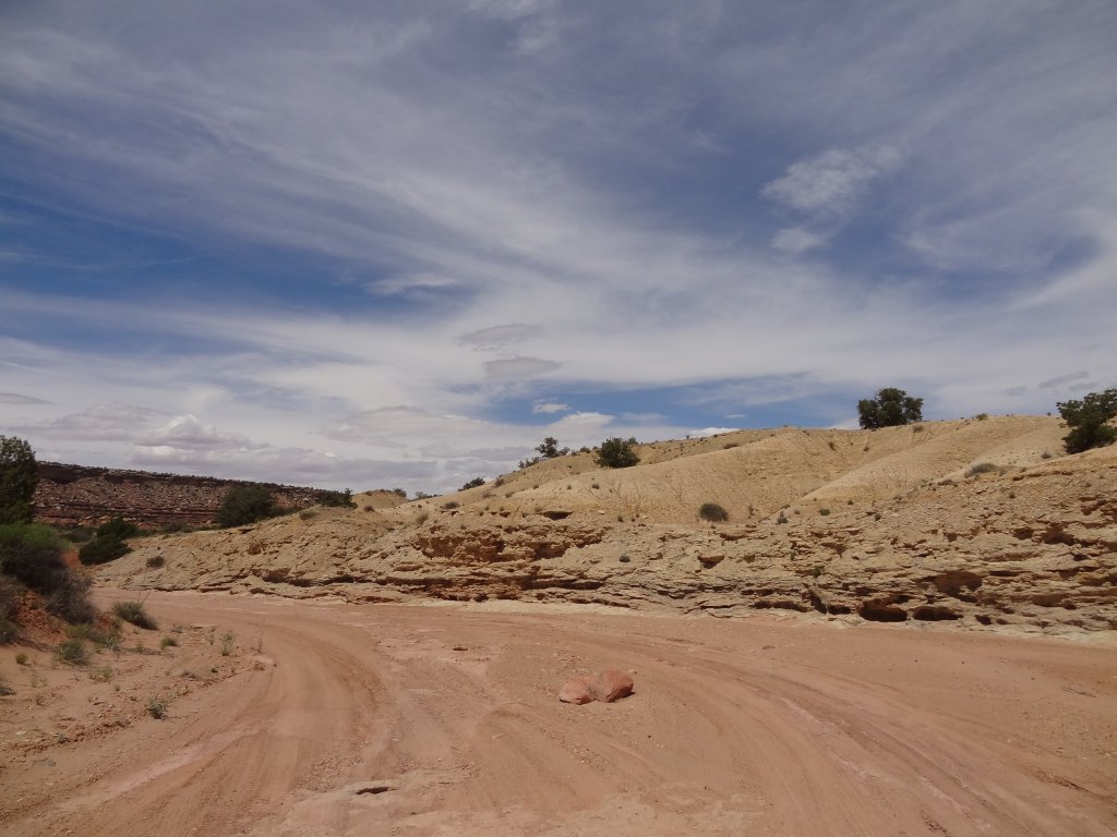
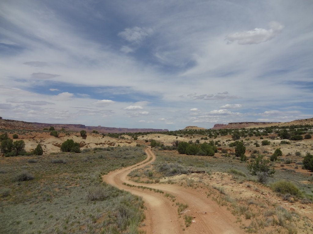
The canyon the trail was in was called Big Water Canyon, but was there any water? It didn't look like we'd find any, but we still had hopes to find some. We knew that we'd find a descent to get down into the canyon, but we were pleasantly surprised to find quite a large and fun hill at the start. We kept the Orange Cliffs to our left as we headed north into the big canyon.
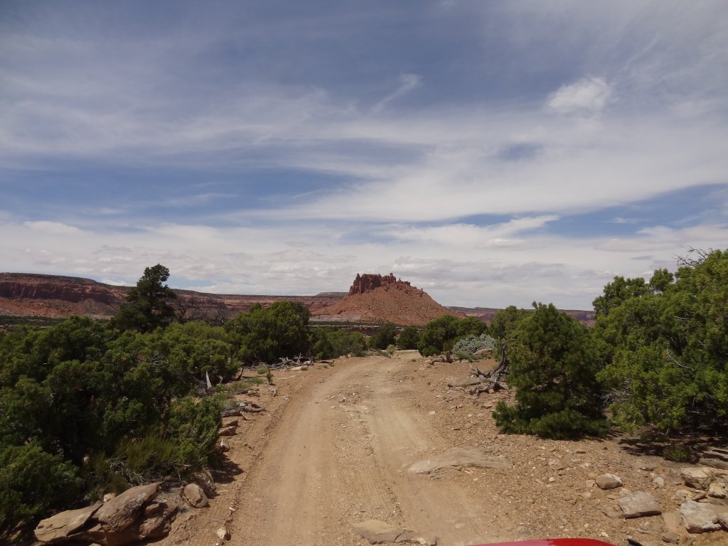
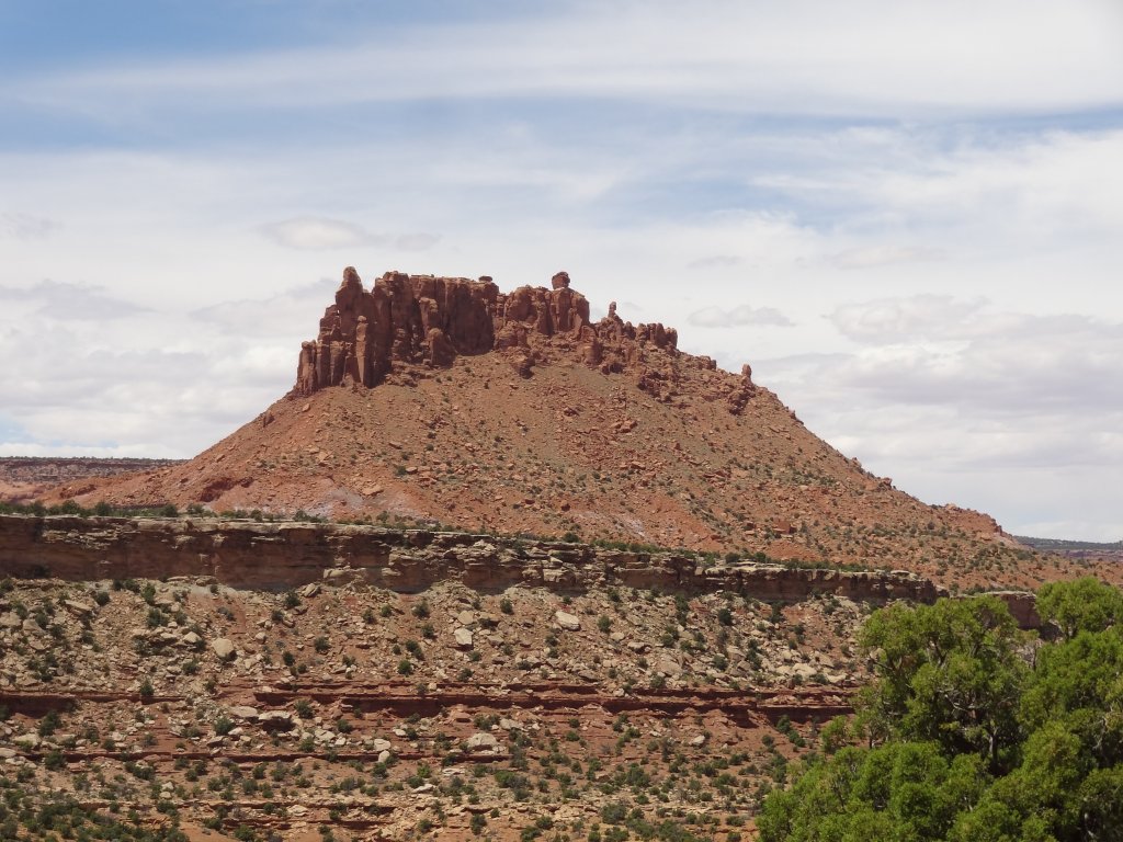
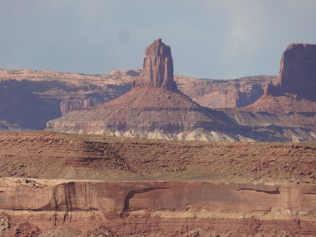
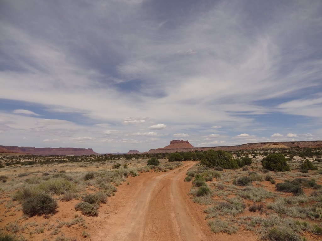
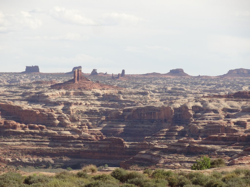
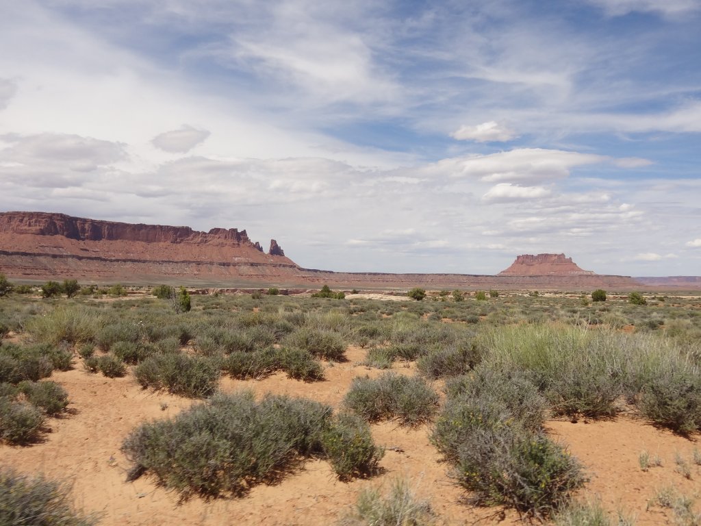
We enjoyed our first views of Bagpipe Butte, a landmark we'd use for the next couple of days. It stands in the middle of a relatively flat area in Big Water Canyon, and it's massive.
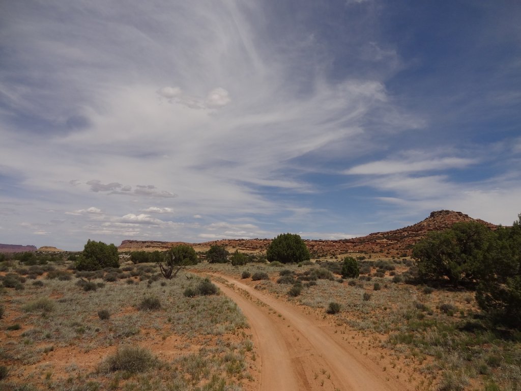
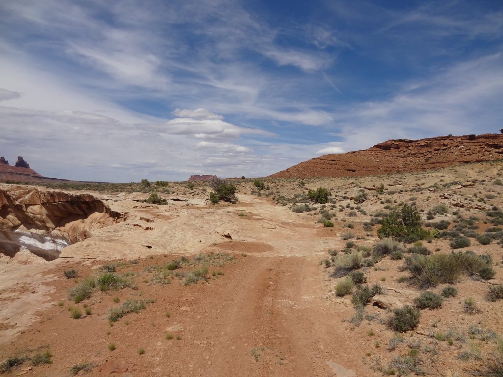
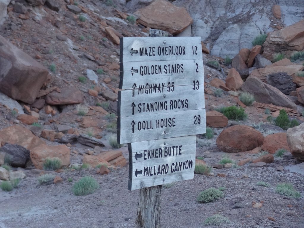
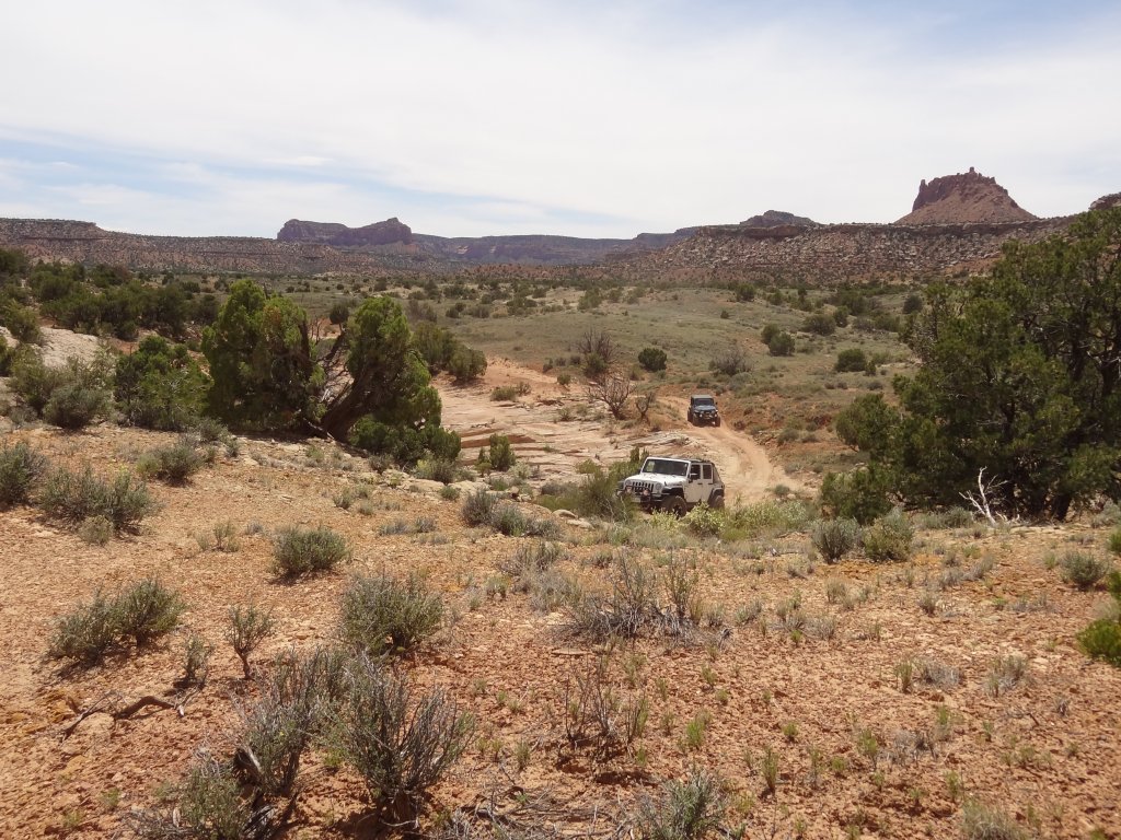
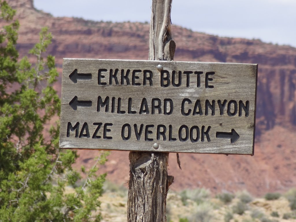
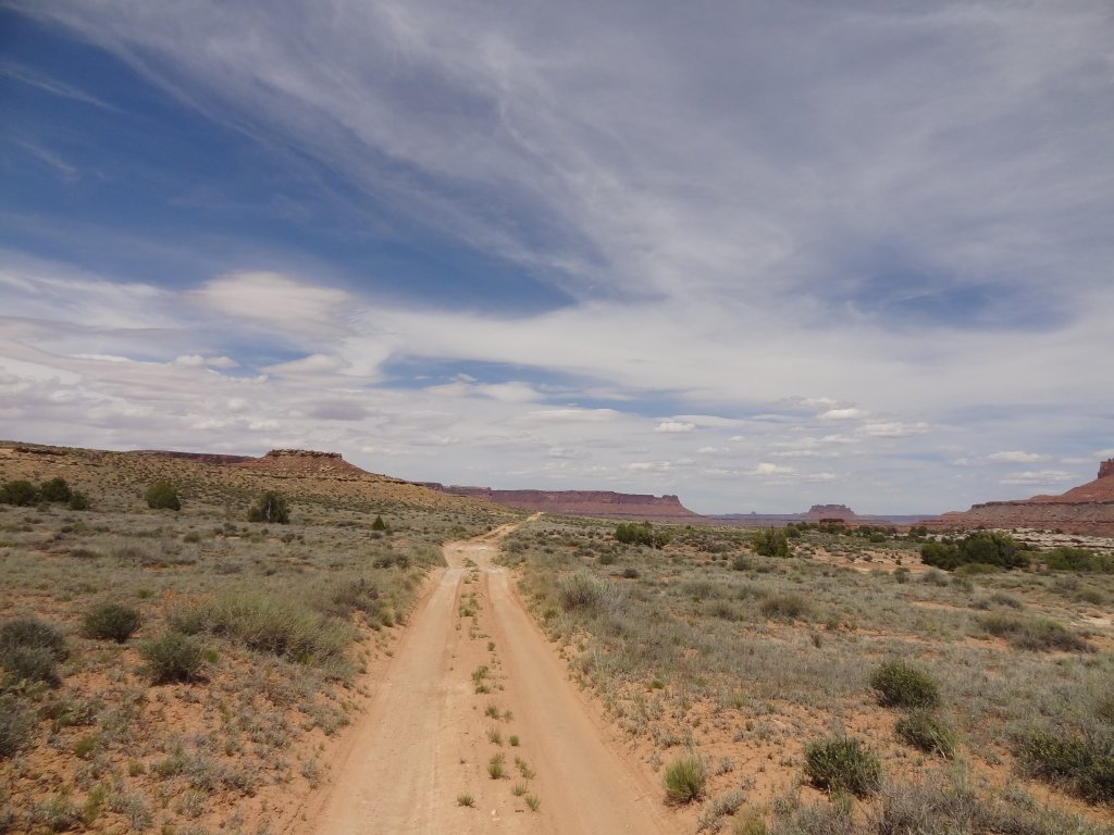
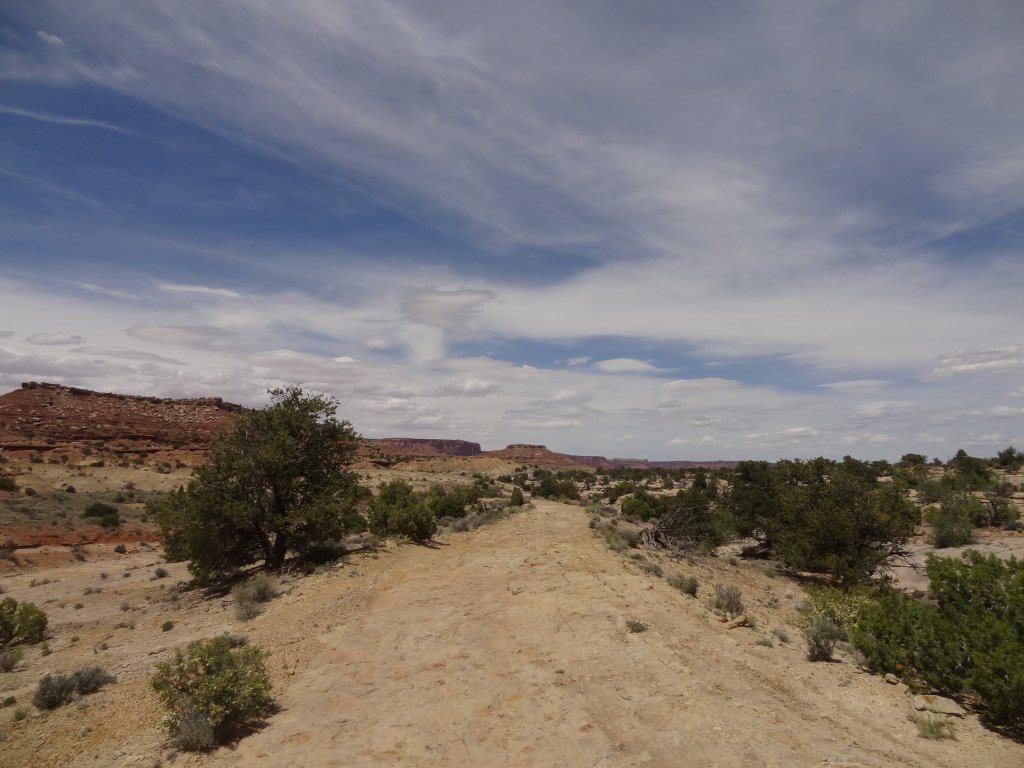
We headed north, enjoying the wide open spaces. Elaterite Butte was a big sight to the east. When we got to the three-way intersection we had a chat about what to do first, and then decided to go see The Maze. We took the rightmost fork.
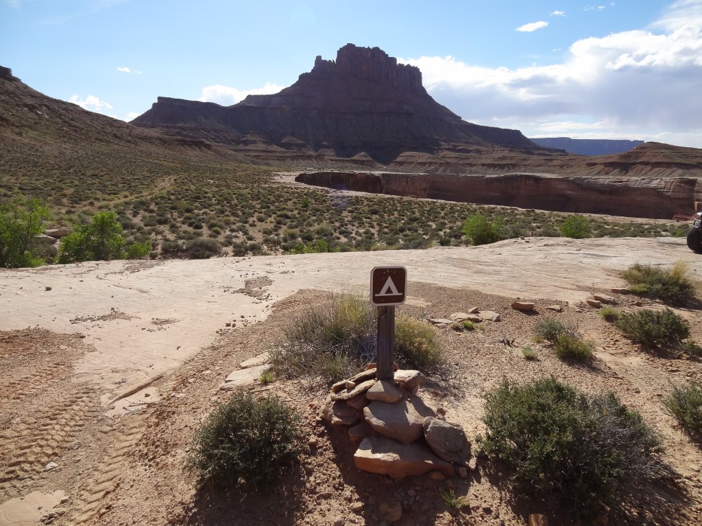
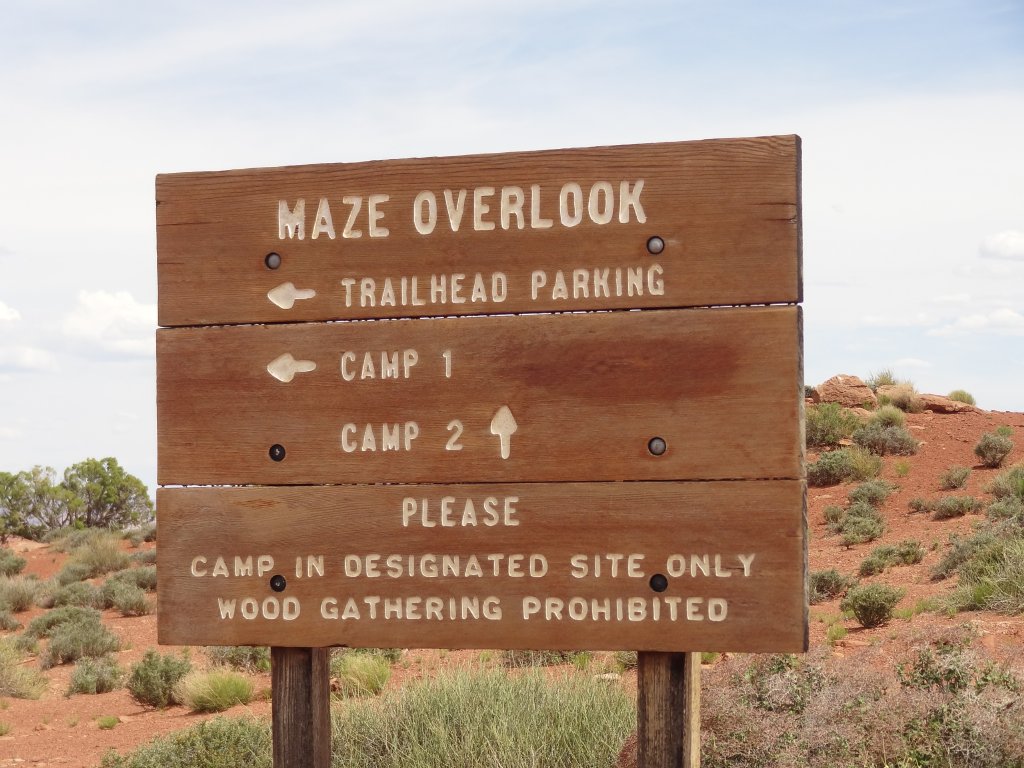
The trail passed very close to Horse Canyon, where we stopped to take a picture or two. Then we headed on, aware of the time. It didn't take too long to work our way around Elaterite Butte and to the end of that fork at the Maze Overlook Campground.
We hung out there for a while, just enjoying the view and chatting. We did an assessment of how much time we had left and how many miles we still had to go to get up Flint Trail and out past the Hans Flat Ranger Station. It looked like the sun would be down by the time we finished. Still, we wanted to see all of Big Water Canyon, or at least most of the other spur.
We went by the true Maze Overlook but didn't get out, still thinking about the time. We cruised back to the three-way intersection and then got out to chat again. Ben decided to head back to Hanksville, taking other passengers with him. The rest of the group did the other spur.
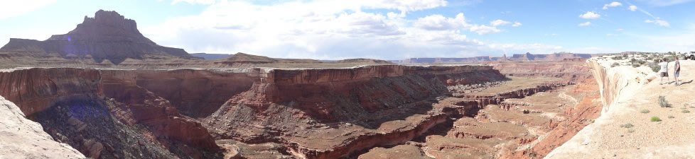
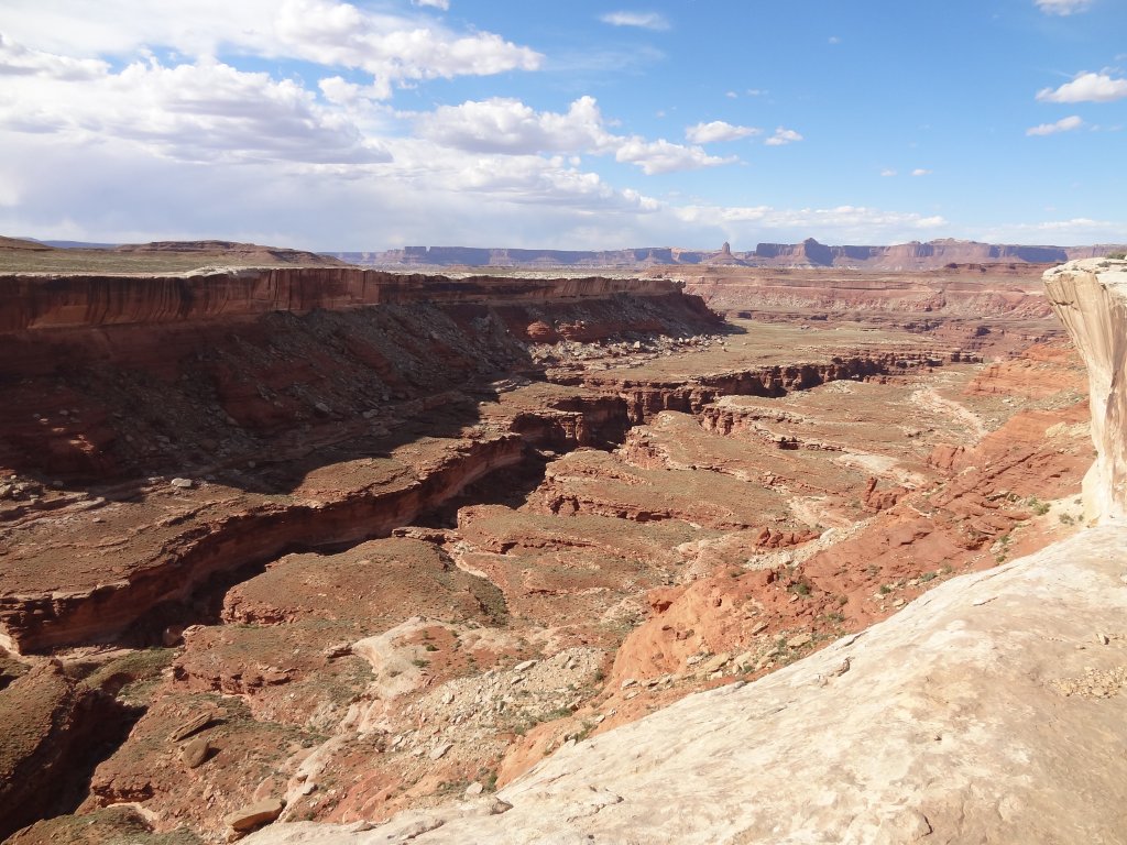
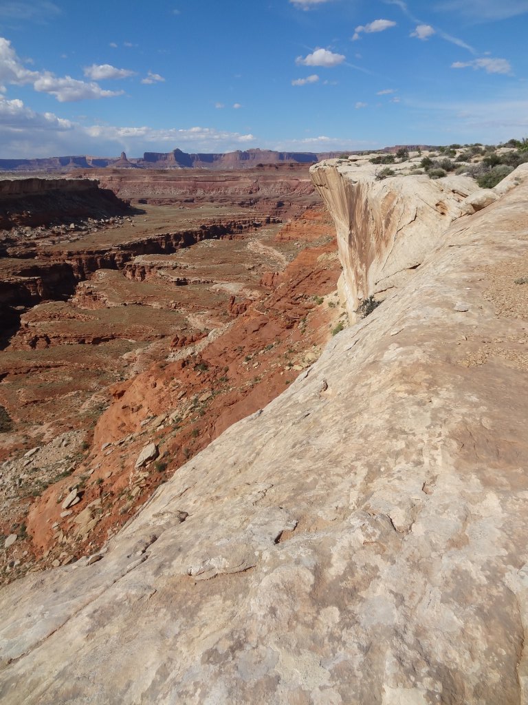
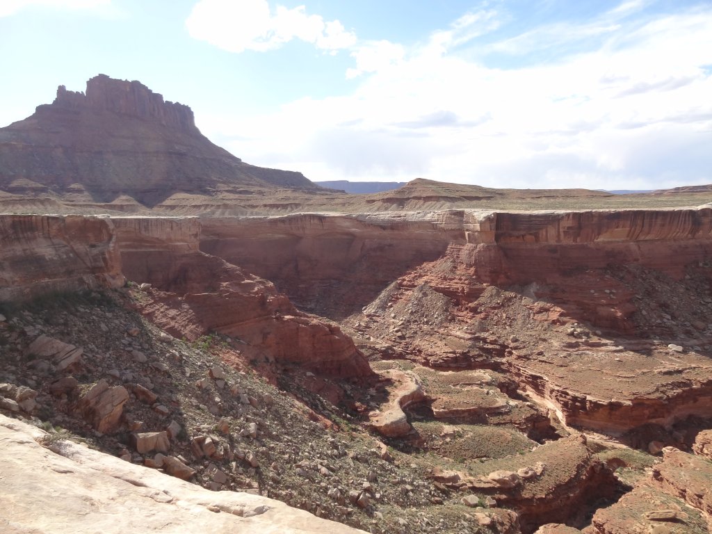
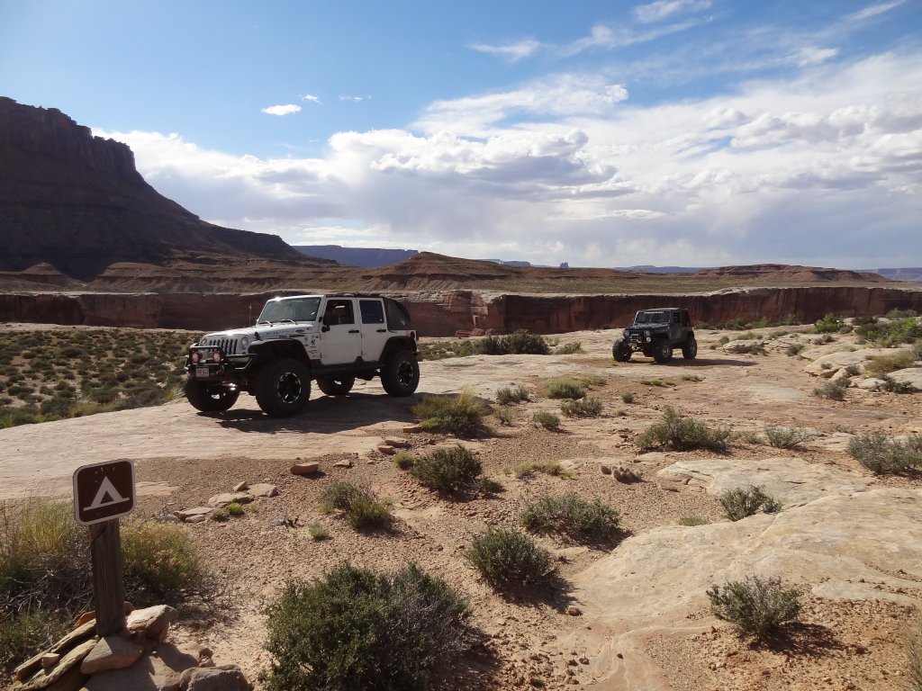
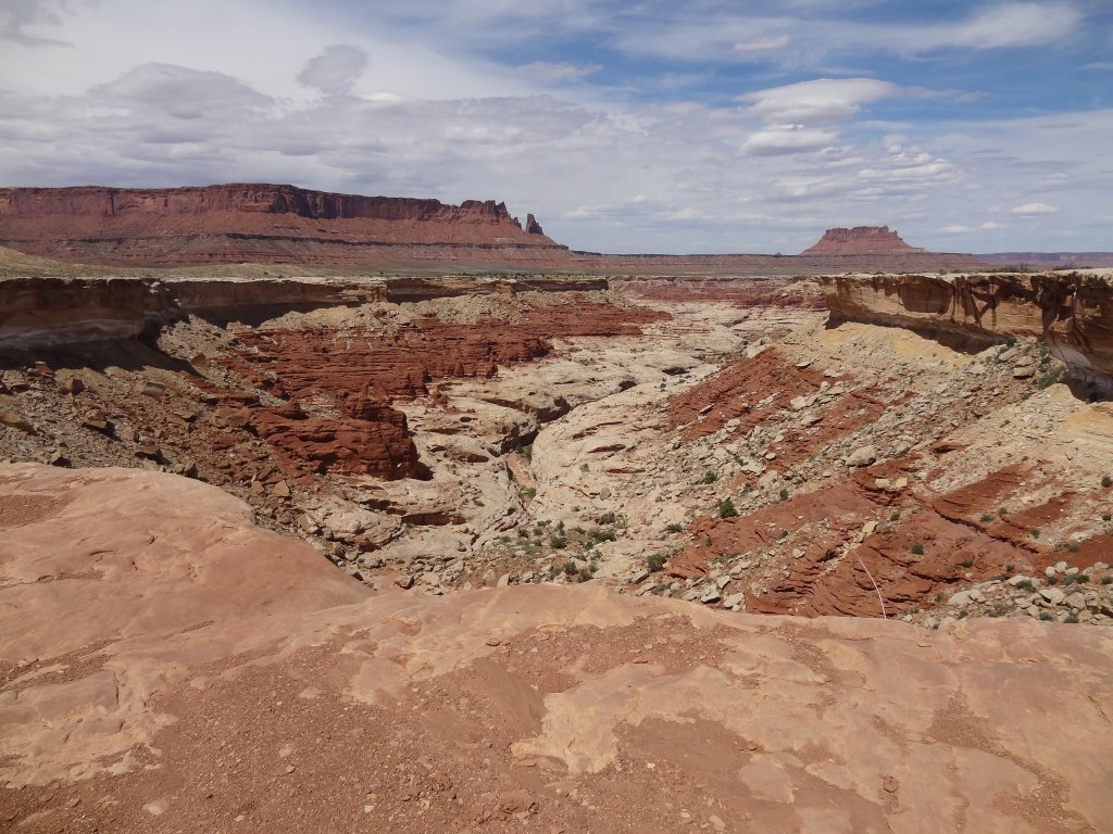
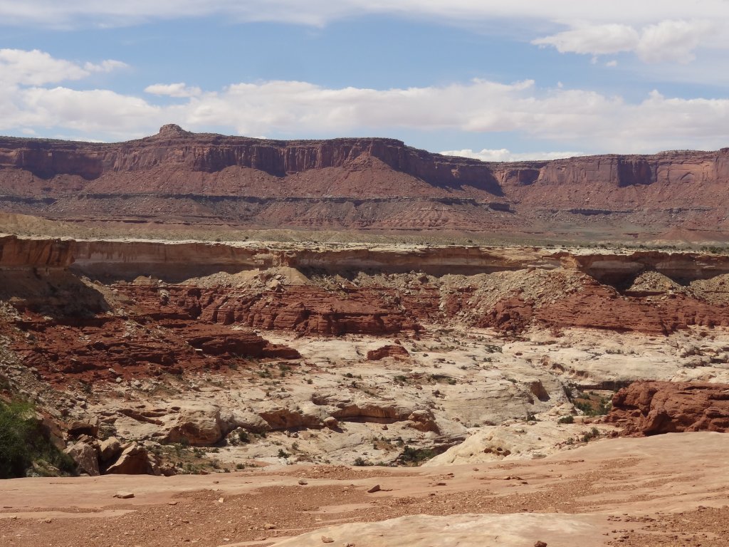
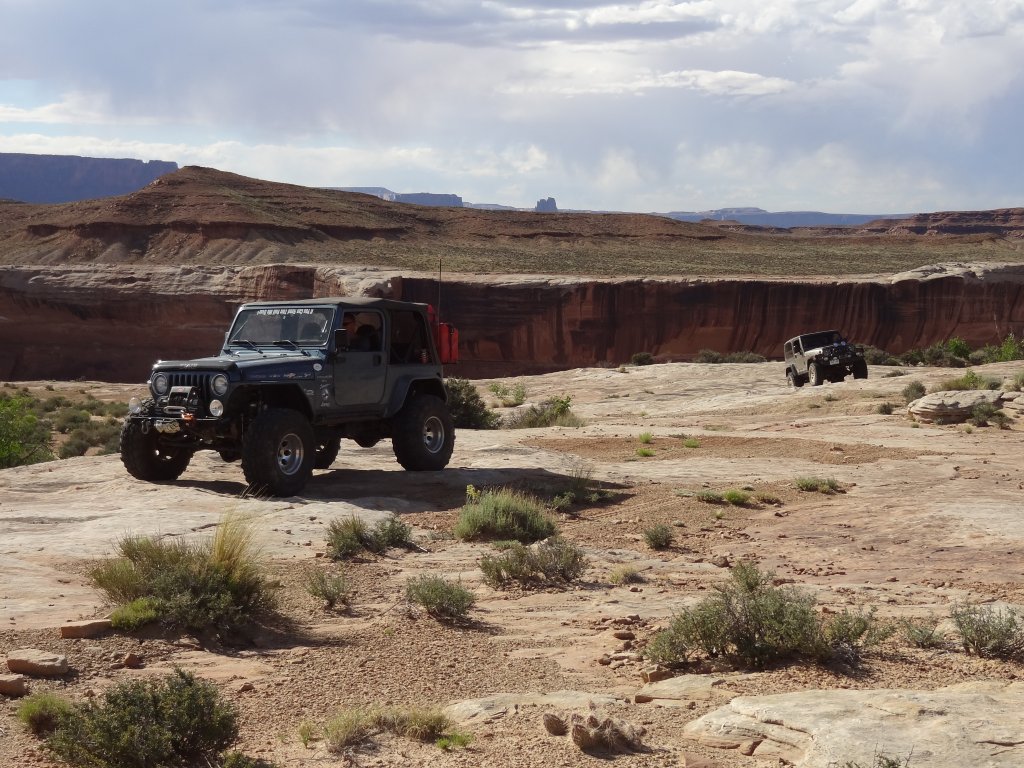
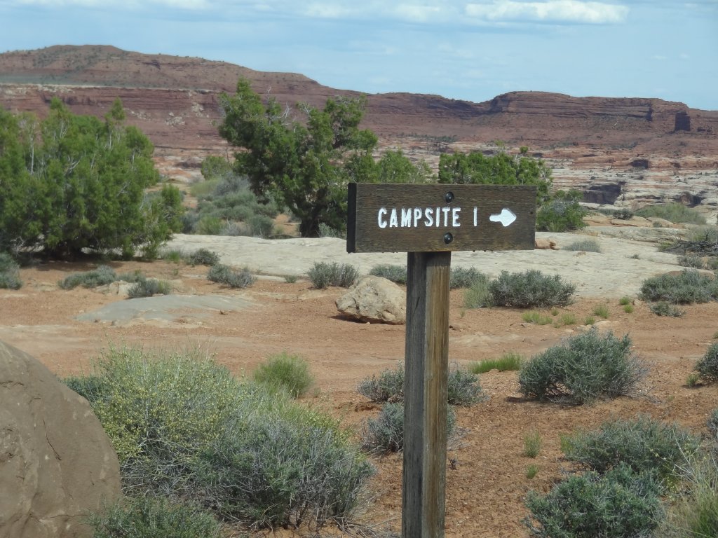
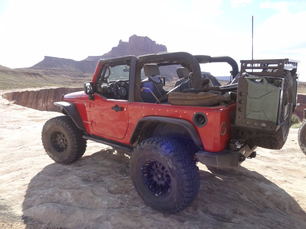
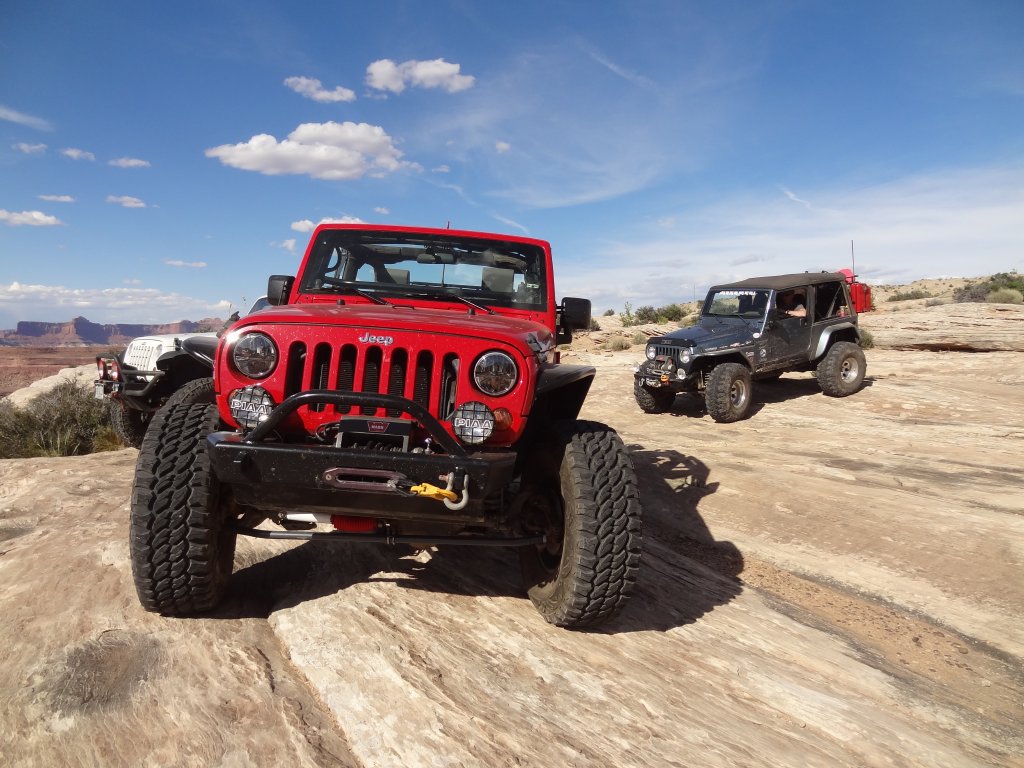
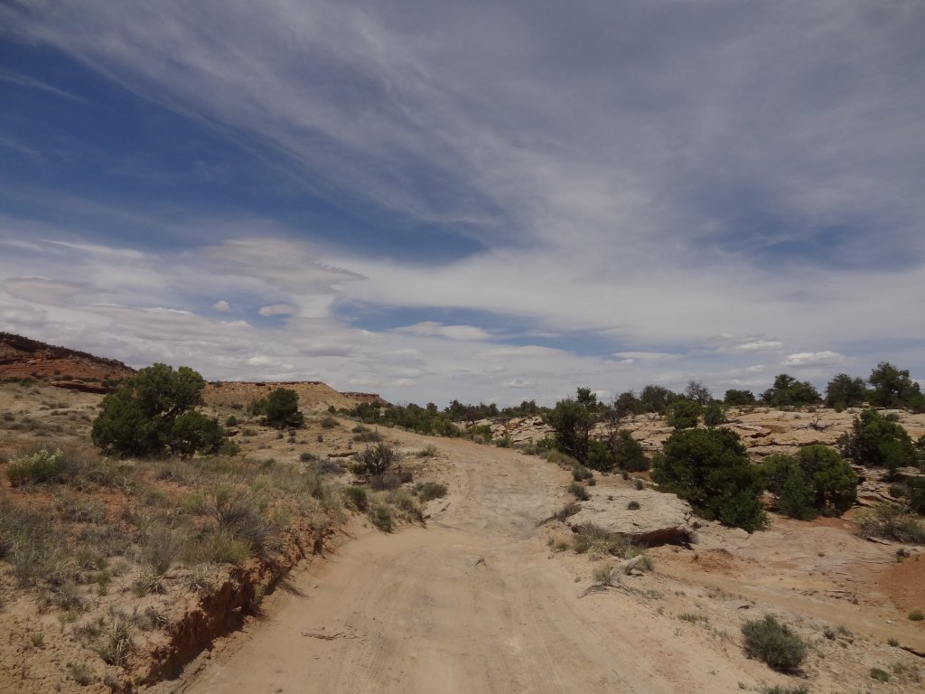
We did it quickly, too. It was just rough enough that we could never really get going very quickly, though. It was longer than the rightmost spur, so it took us a bit of time to go under Panorama Point on the Orange Cliffs and around Ekker Butte. When we got to the Ekker Butte Campground we drove out on the slickrock slab and got out to take some pictures of the canyon below us. We were close to the Green River in Stillwater Canyon to our east, but we couldn't see any water. The White Rim trail was also too far away to see.
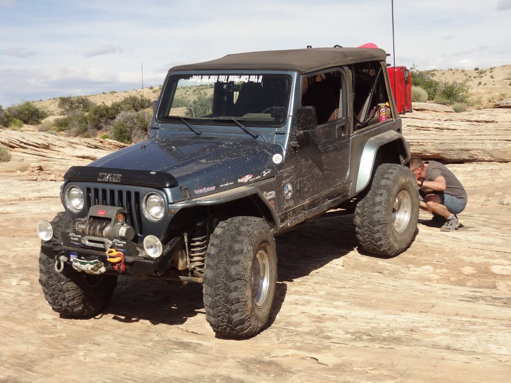
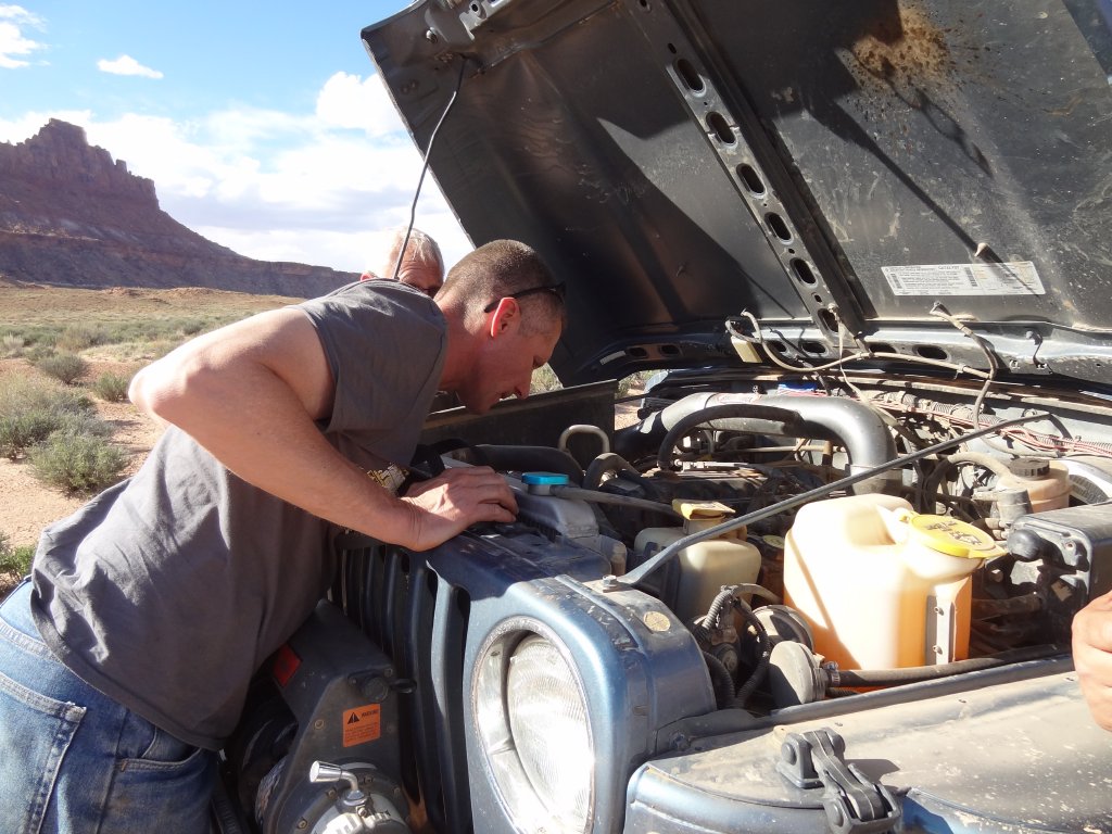
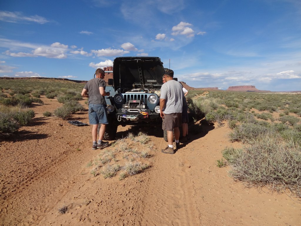
We talked about heading still farther north, but decided to turn back. We didn't make it very far before Matt suddenly stopped, throwing his hood up to pull a belt out of his engine. We had trouble, and we were really far from civilization.
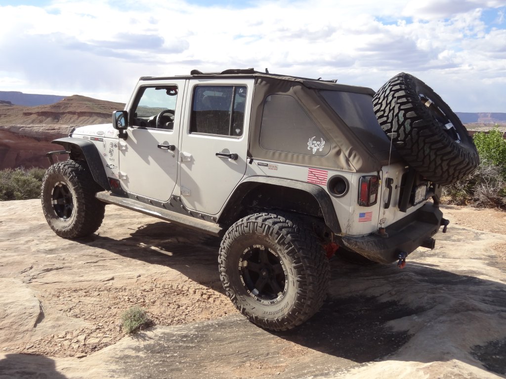
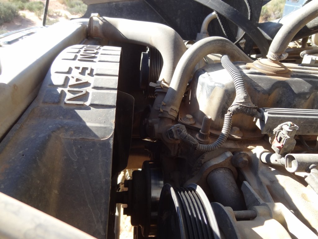
Matt had a pulley go out, and that set off a chain reaction. In the end, he blew a head gasket, lost a belt, lost the air conditioning, alternator, and pulley bracket, and lost a bolt for a pulley. It wouldn't run, and that wasn't something that could be fixed on the trail. Luckily, Frank has a four-door JK that was big enough to tow Matt, so they hooked up a tow strap and we limped our way out. Matt couldn't see where he was going, so it had to be slow.
We made it out of the canyon, after Frank successfully towed Matt up the big hill. It seemed like things were going well, but we had no idea what to expect from the Flint Trail. Fingers crossed!