
TrailDamage.com

Photos, videos and information about 4x4 trails in Colorado and Utah

  • Trails
    • Colorado
    • Utah
  • Reports
    • Featured Photos
    • Reports Calendar
  • Members
  • Search
  • FAQ
  • Community
  • Upcoming Events
  • Membership
  • Log In
  • Facebook
  • Instagram
  • RSS
  • Twitter
  • YouTube
  • Trails
    • Colorado
    • Utah
  • Reports
    • Featured Photos
    • Reports Calendar
  • Members
  • Search
  • FAQ
  • Community
  • Upcoming Events
  • Membership
  • Log In

Gladstone Road 170909

September 9, 2017 by Monica

Gladstone Road

Trail Run on September 9, 2017
Report and photos by Monica I., Trail Leader
View trail information for Gladstone Road

Walt S.
Gray 2022 Jeep Wrangler Unlimited Rubicon 392
Niko K.
Gray 2017 Jeep Wrangler Unlimited
Monica I.
Red 2010 Jeep Wrangler Rubicon

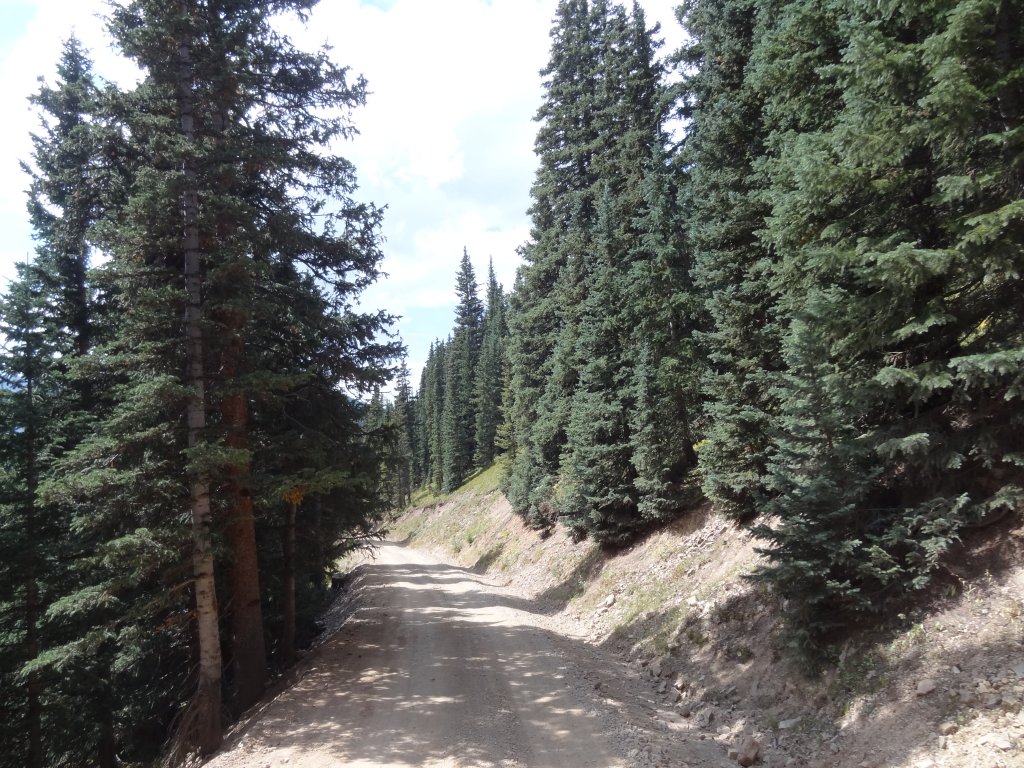
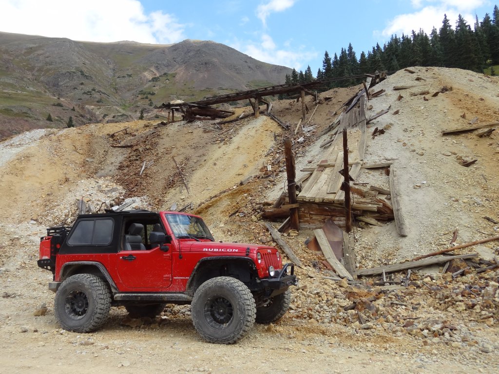
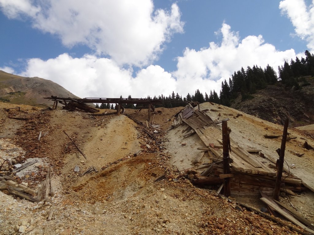
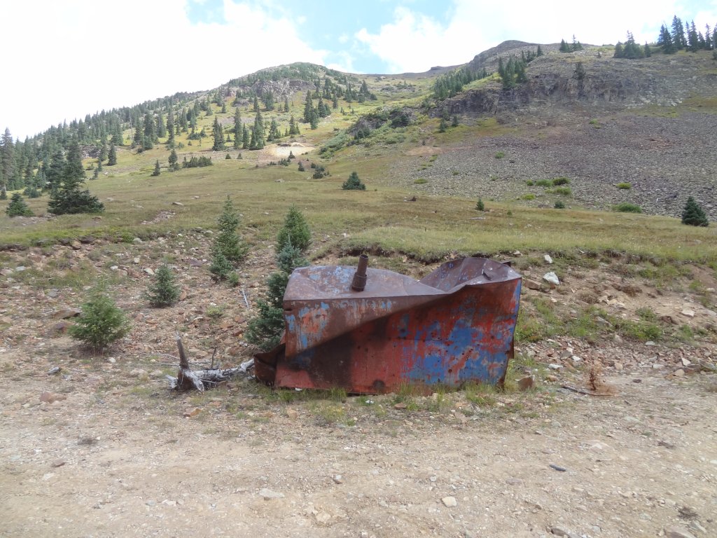
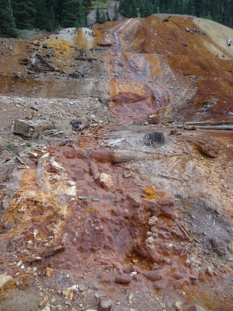
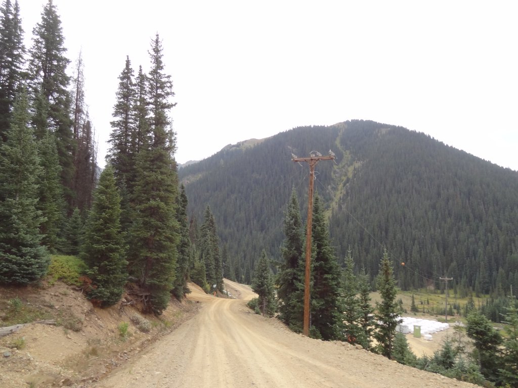
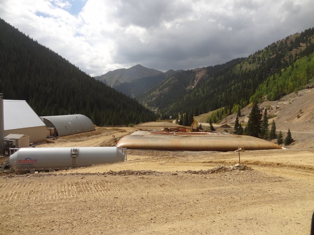
We've done most of Gladstone Road in the past, but never the entire thing.  It was time to see it all, including the Mogul Mine.  We'd seen it looking down from Corkscrew Gulch and Hurricane Pass before, but we'd never taken the time to go check it out.  We were looking forward to it.

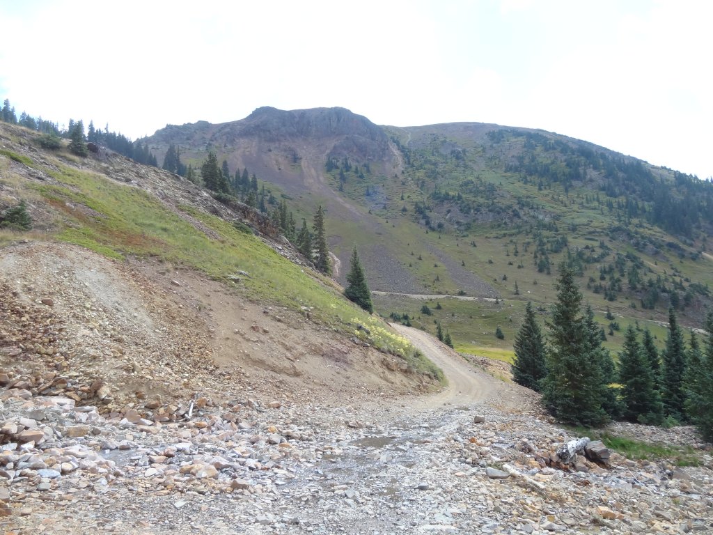
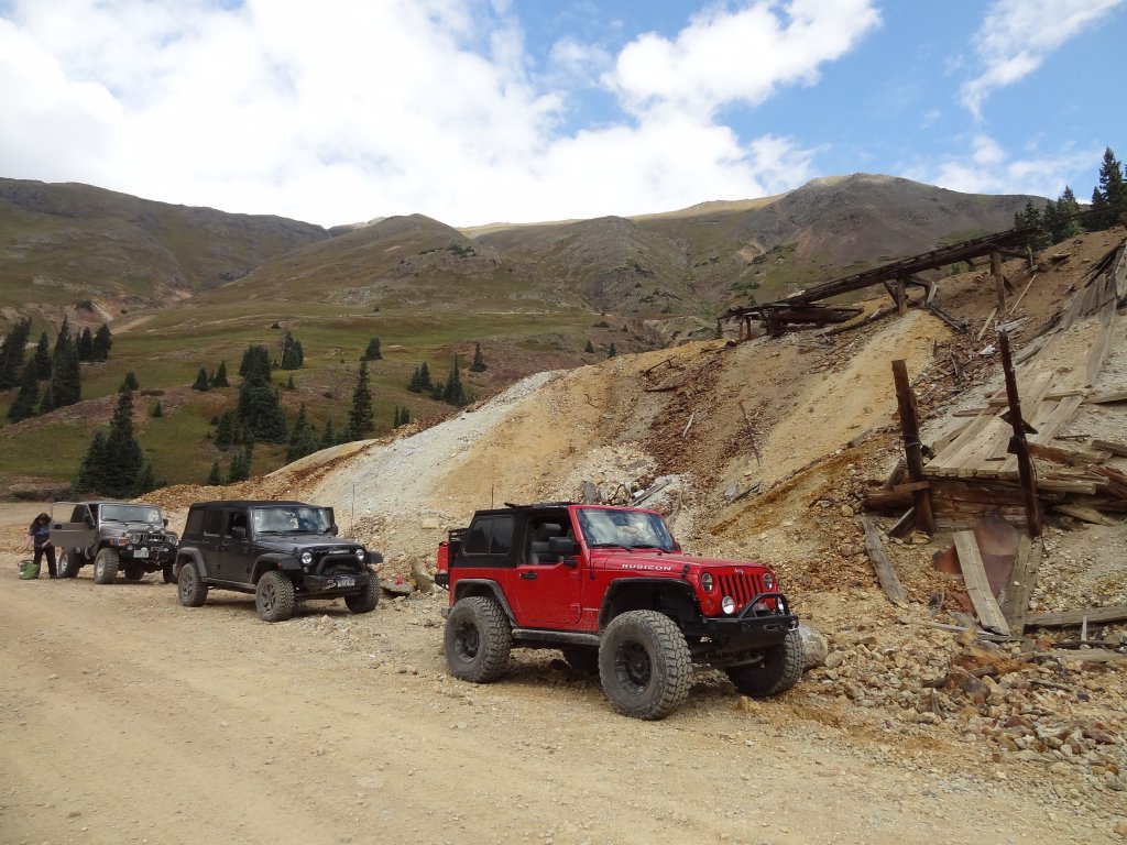
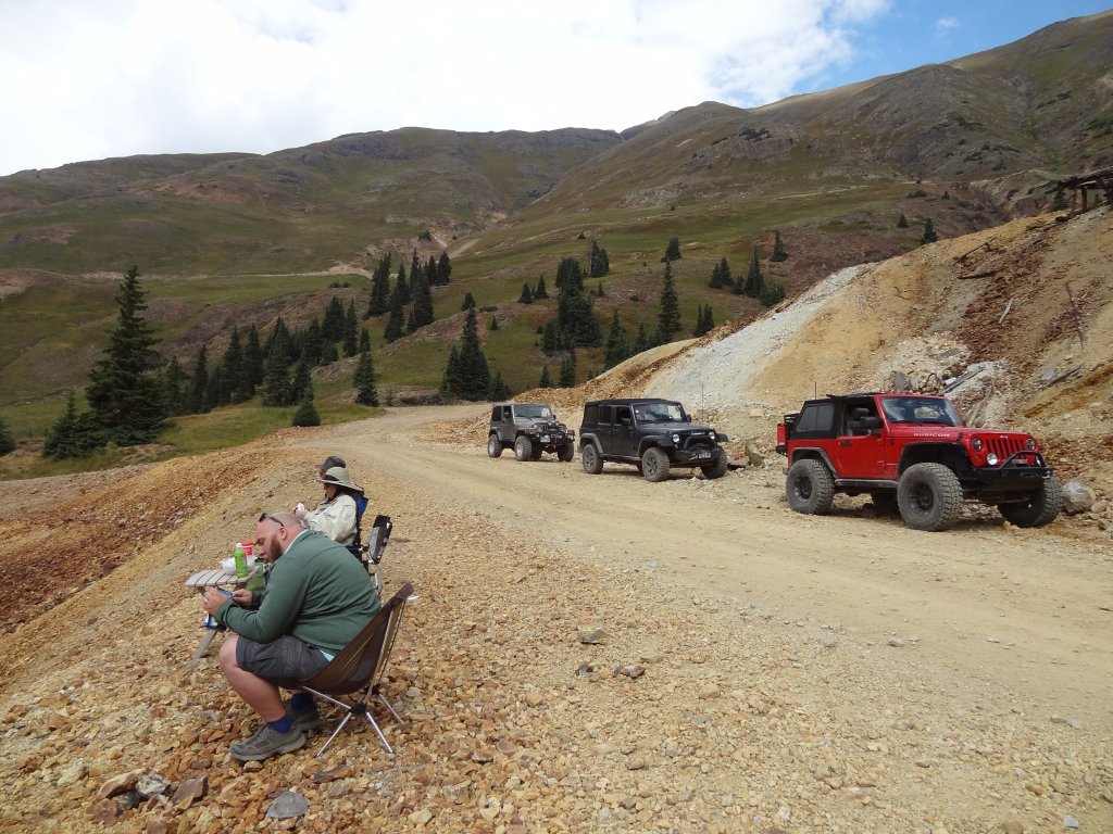
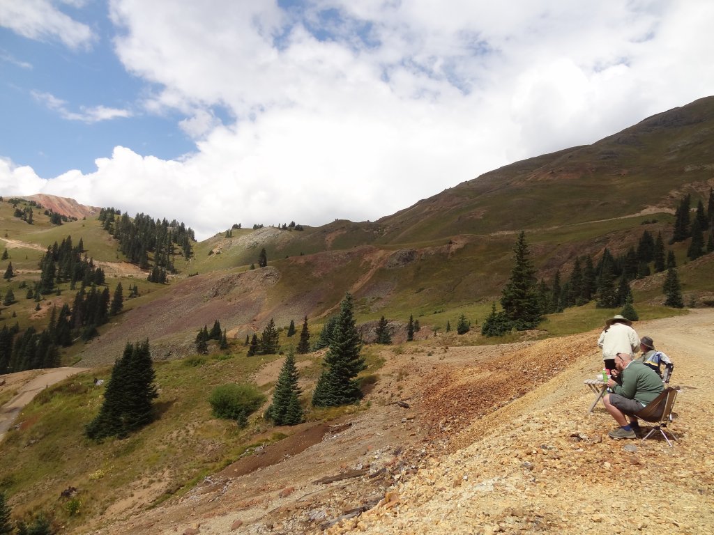
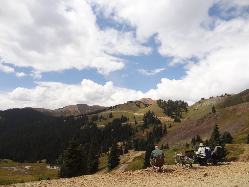
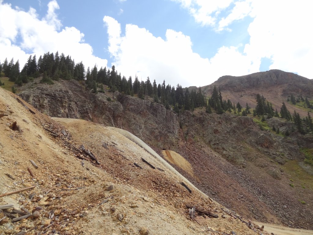
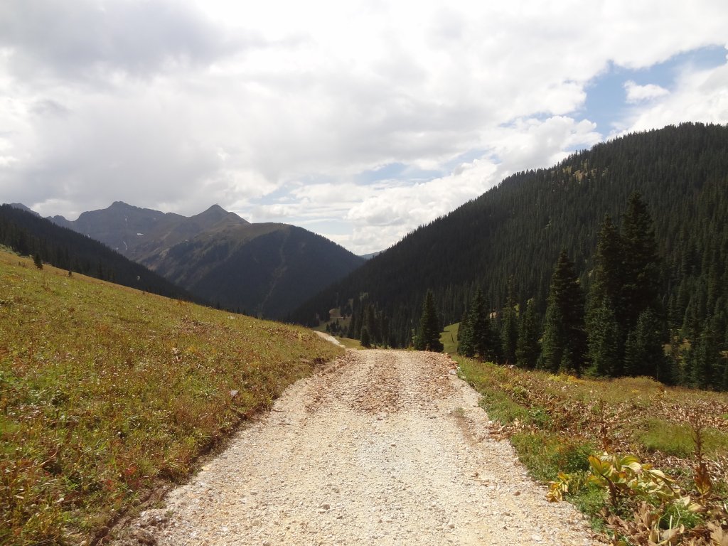
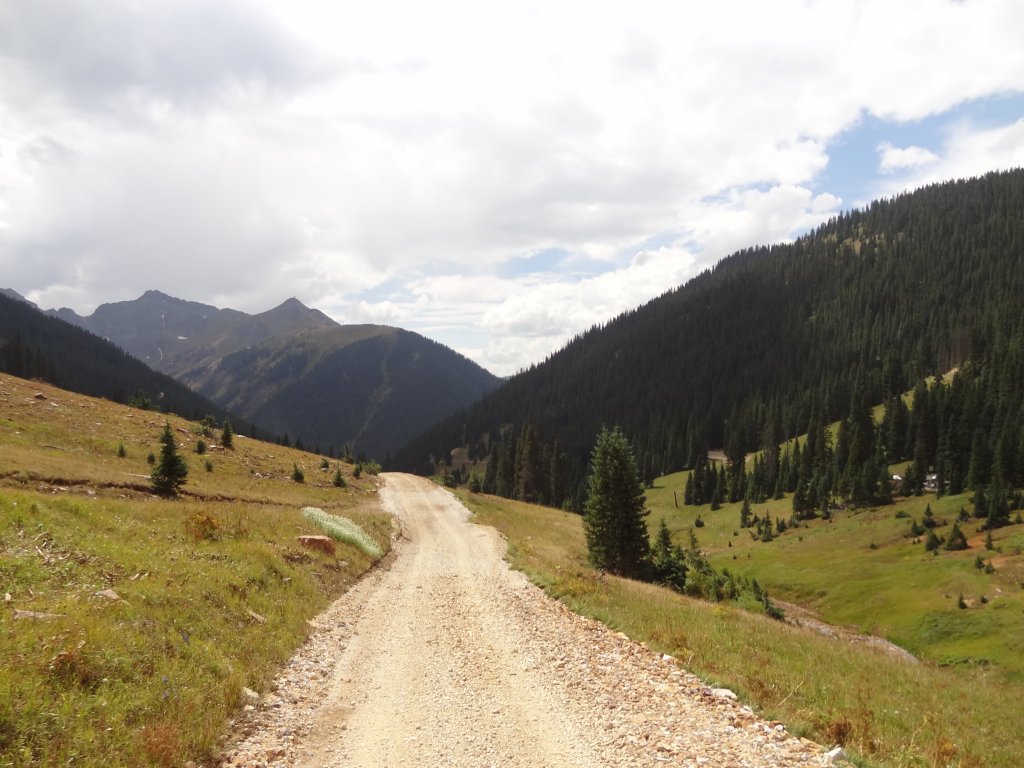
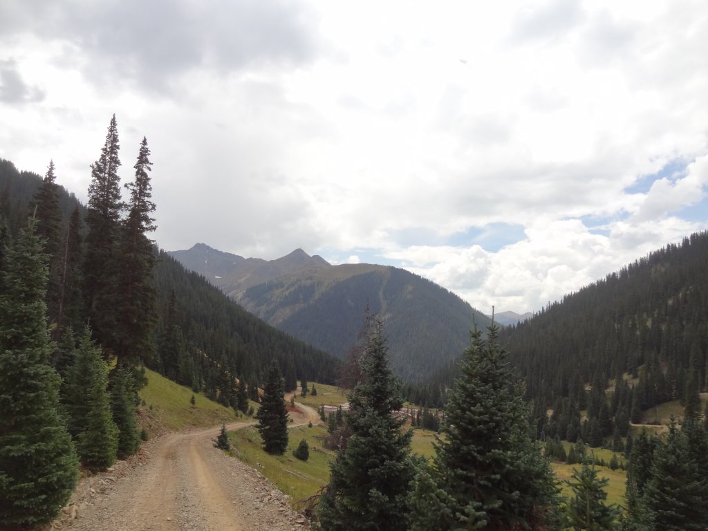
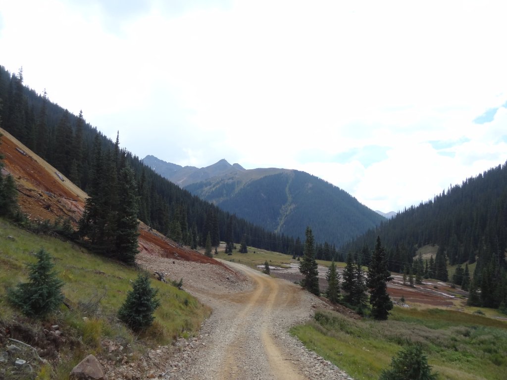
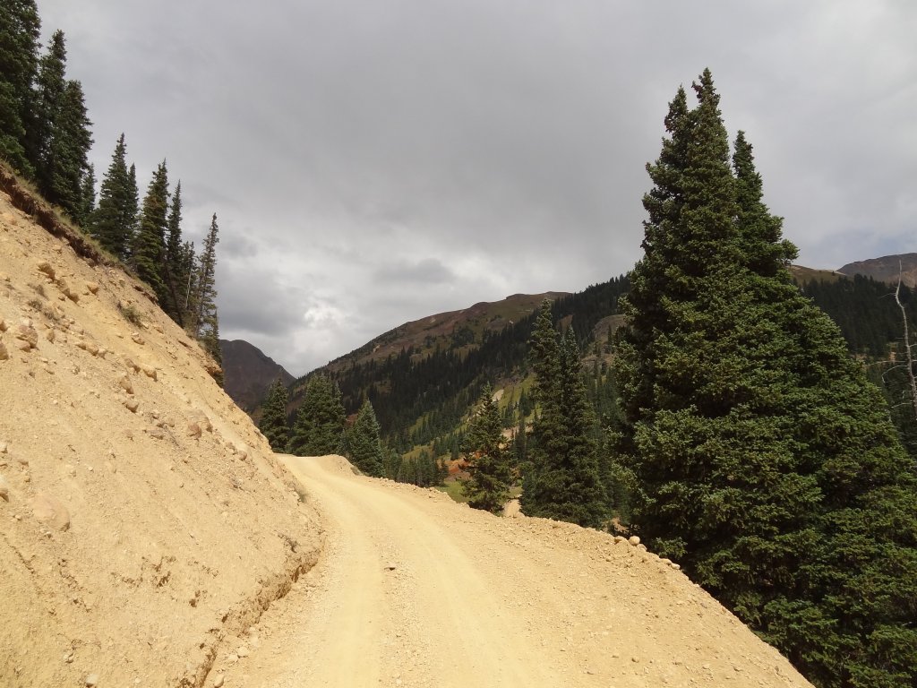
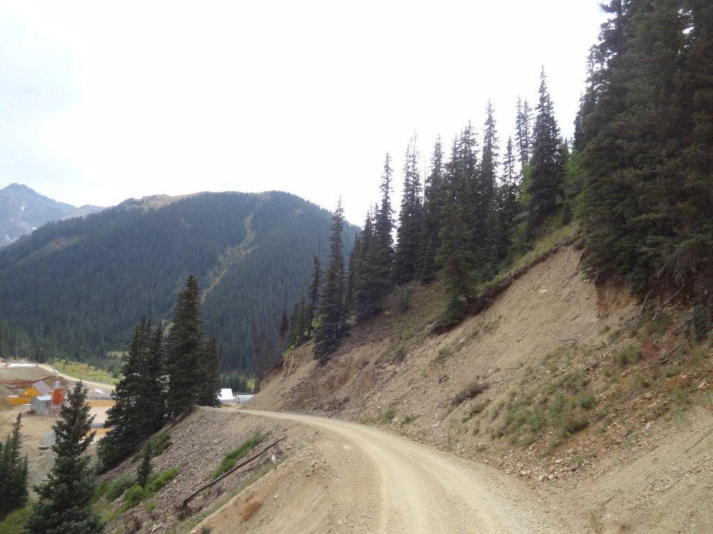
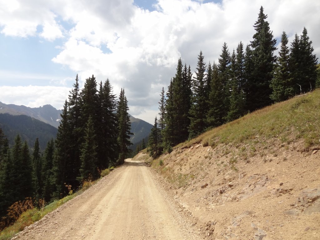
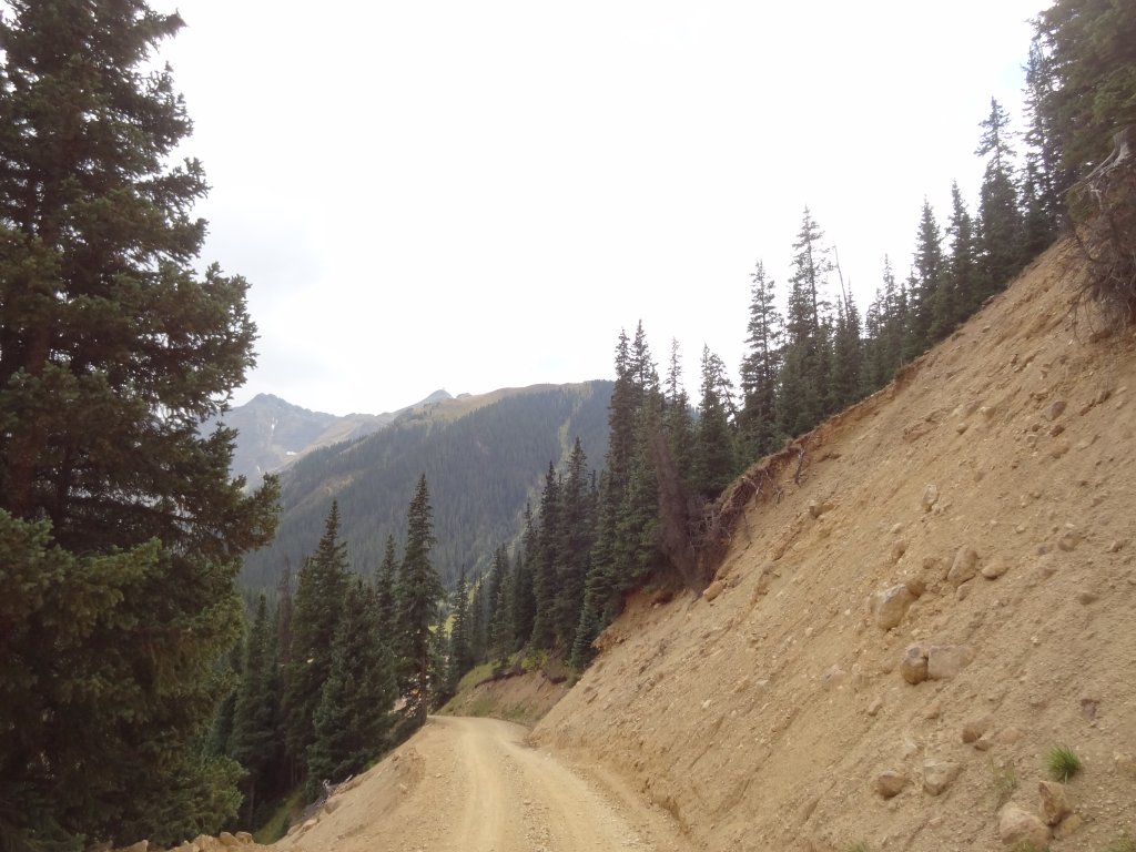
We came off of Corkscrew Gulch and headed straight down to the Mogul Mine.  The scenery of the valley below us was amazing.  Niko was having CB troubles (someone has to!) and it was about lunch time, so we stopped there.  We set our chairs up on the edge and took our time.  The day couldn't have been any nicer.

When we were finished with lunch, we took the eastern side of the loop to go over and do Minnehaha Basin, which was fun.  Then we headed around to catch the western side of the loop before heading toward Silverton.  We did the Galena Queen Mine trail as well as McMillan Peak before we made it to town.

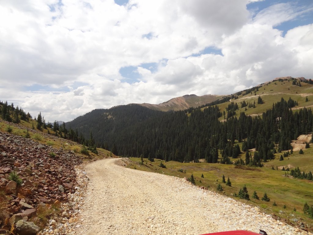
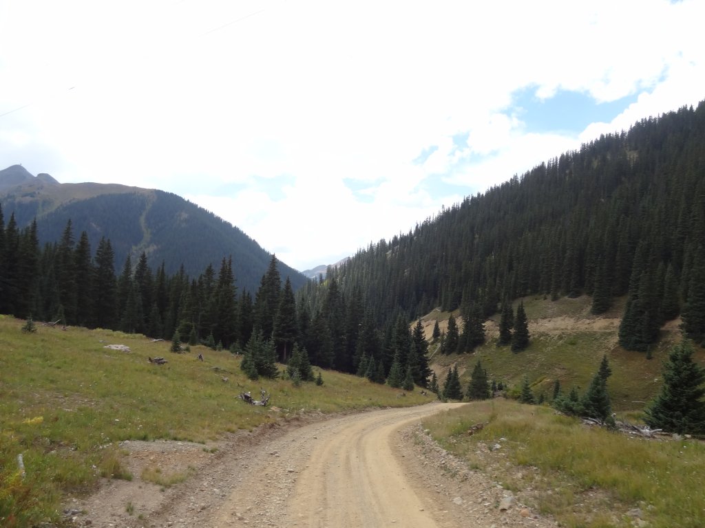
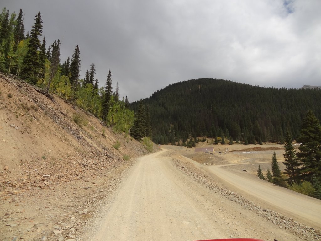
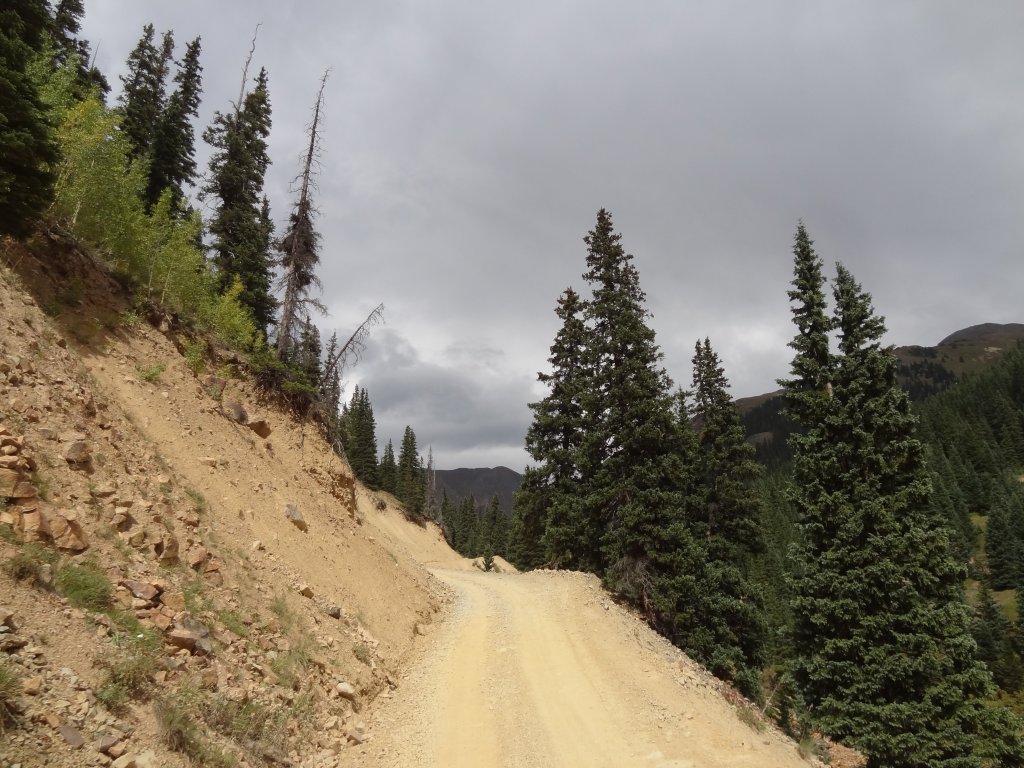
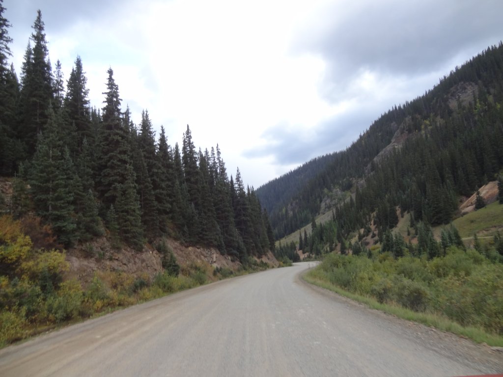
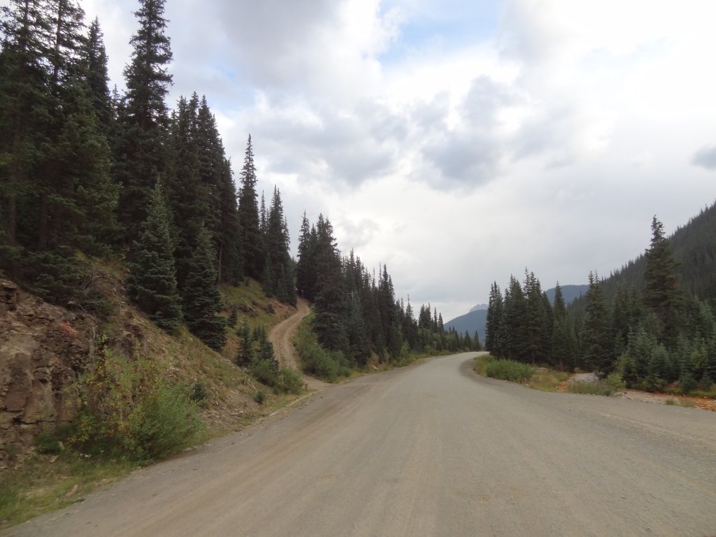
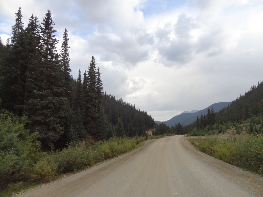
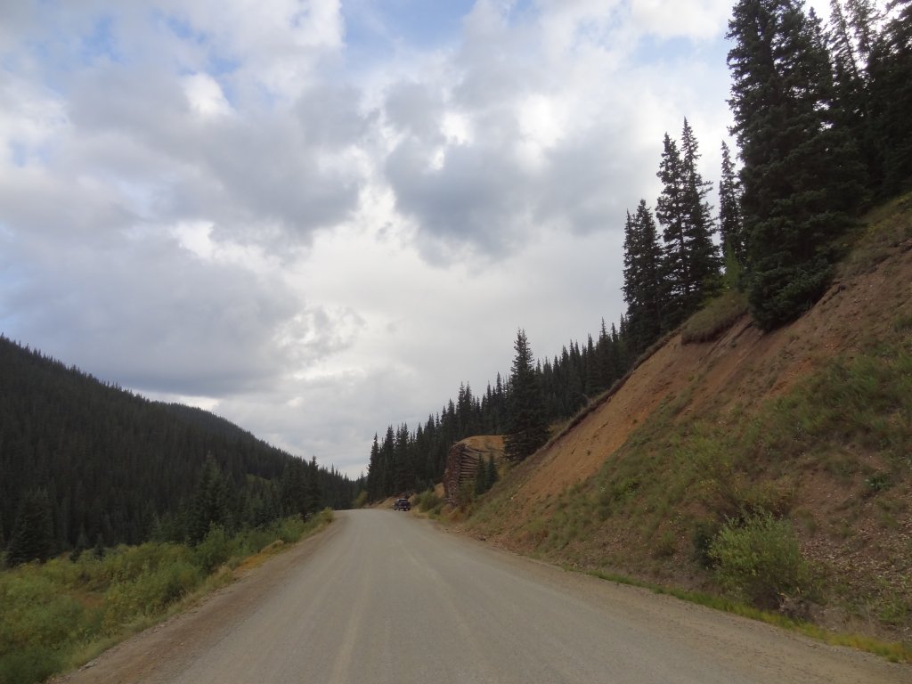
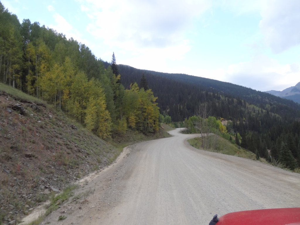
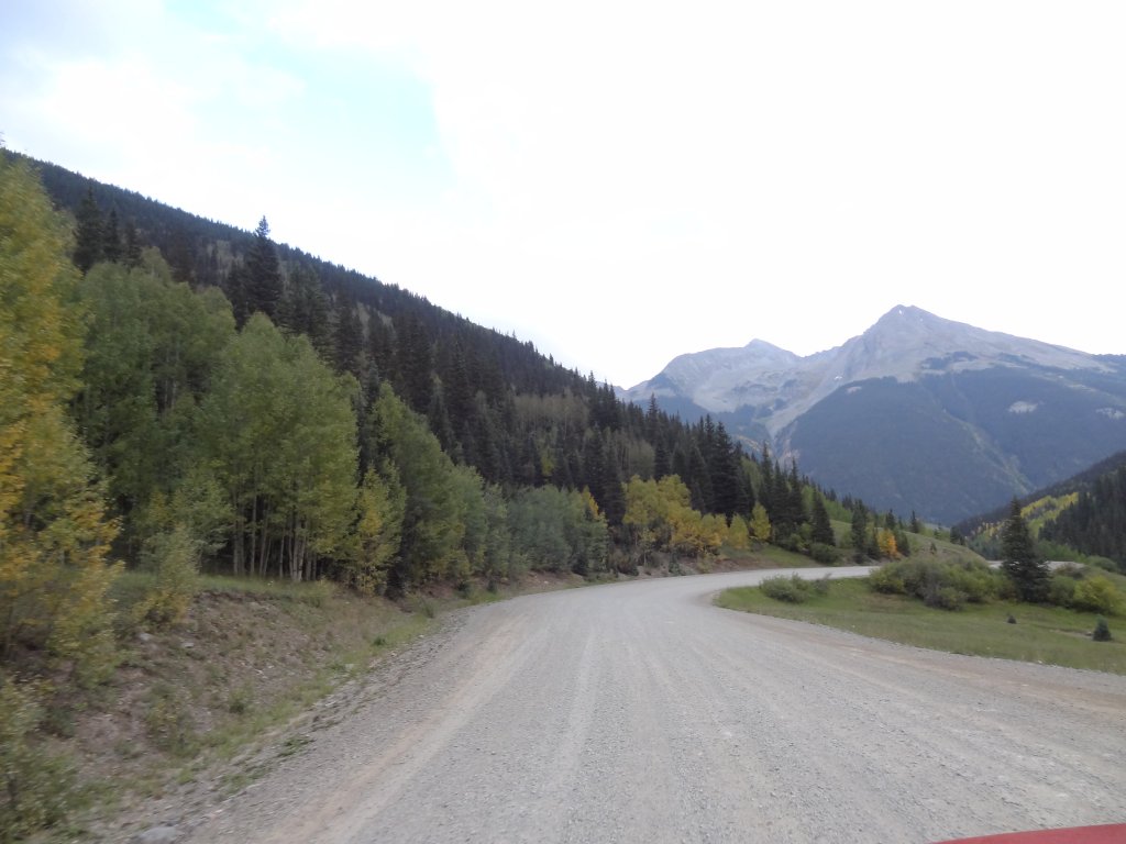
The trail south of Gladstone is smooth and wide, so we didn't really take the time to stop along the way.  We chatted about the extreme skiing found at the Silverton Mountain Ski Area, which seems cool and crazy.  We also saw other, potential trails to see the next time we were in Silverton.

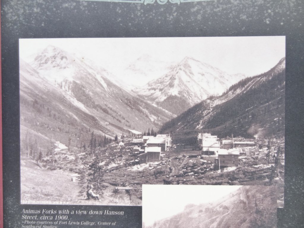
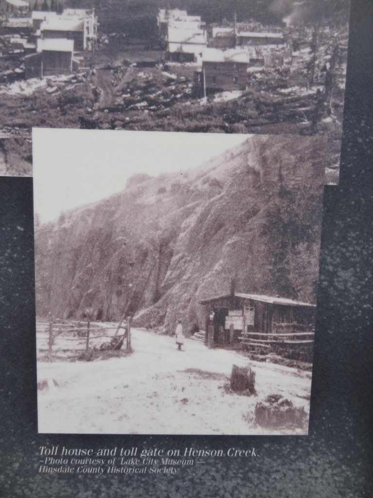
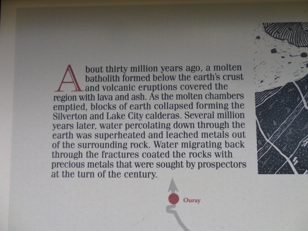
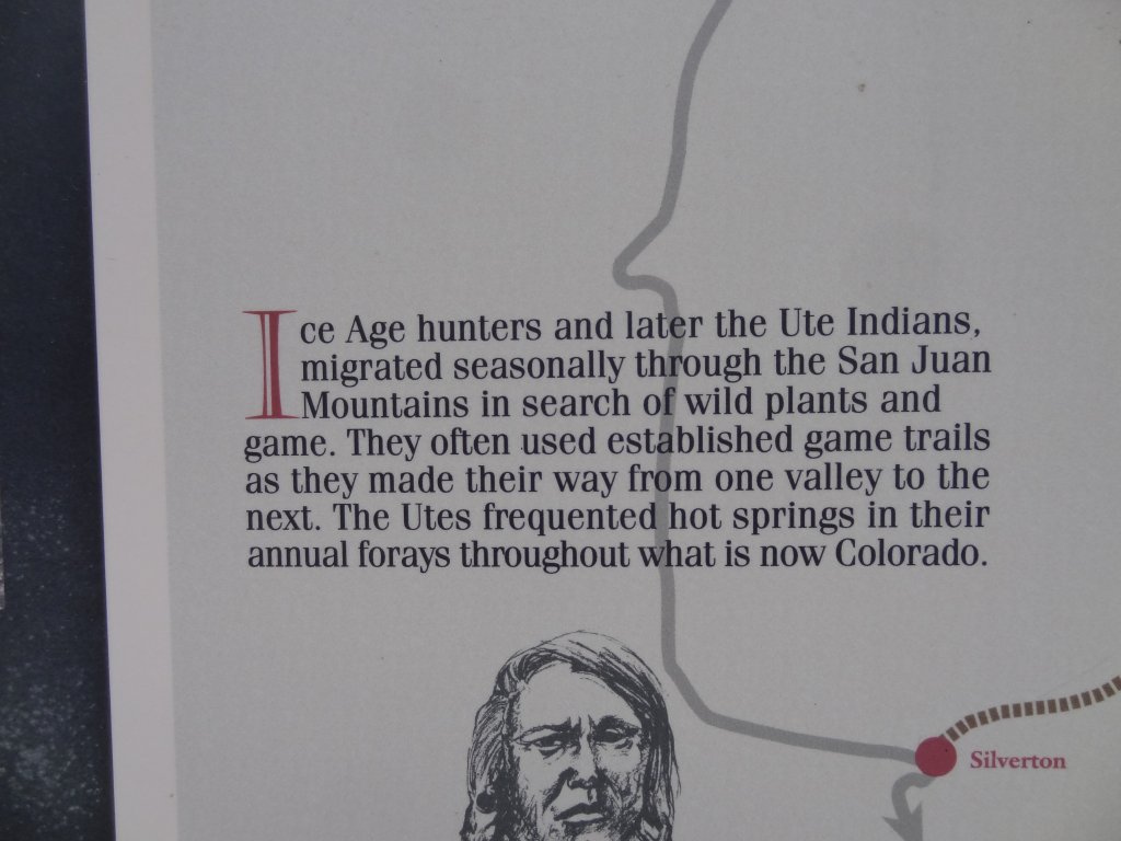
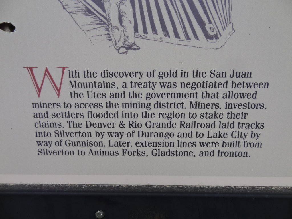
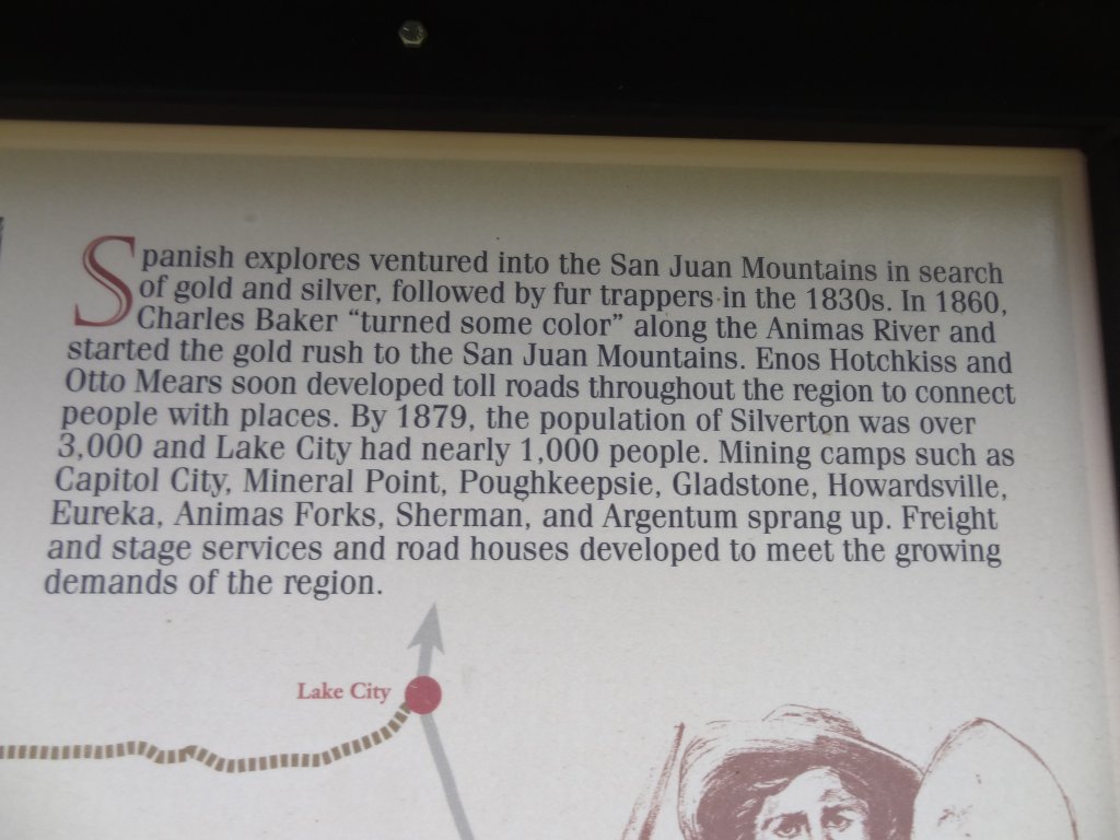
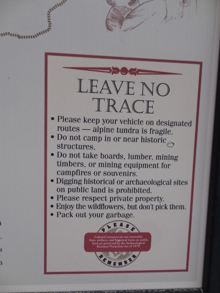
The kiosks were good and informative, but soon we popped out in Silverton.  We had dinner there before heading back up to Ouray where we were staying.  It was a great day!
DSC02240
DSC02241
DSC02242
DSC02245
DSC02246
DSC02247
DSC02248
DSC02249
DSC02250
DSC02251
DSC02252
DSC02253
DSC02254
DSC02255
DSC02256
DSC02257
DSC02259
DSC02261
DSC02262
DSC02263
DSC02264
DSC02265
DSC02266
DSC02267
DSC02269
DSC02270
DSC02271
DSC02273
DSC02274
DSC02276
DSC02355
DSC02356
DSC02357
DSC02358
DSC02359
DSC02361
DSC02362
DSC02363
DSC02365
DSC02366
DSC02367
DSC02526
DSC02529
DSC02531
DSC02533
DSC02536
DSC02537
DSC02538
DSC02539
DSC02540
DSC02541
DSC02542
DSC02543
DSC02544
DSC02545
DSC02546
DSC02547
Join Us!
If you aren’t a Member or Subscriber, you can’t see all of the content on this site. Get membership information to see why this site is best when you join and log in

Information for Subscribers

When you log in you’ll see more information here:

  • Recent Community Forum posts
  • Recent polls
  • Upcoming Events you can attend
  • Links to online users

© 2000-2026 · TrailDamage.com · Terms and Conditions · About · Contact
Trail information is only accurate on the date posted. Trails may have changed or closed since that date. Use this information for historical purposes only.
Contact the Forest Service or Bureau of Land Management for up-to-date trail information.