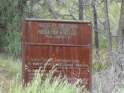
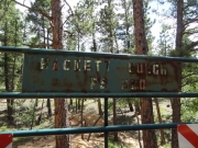
Hackett Gulch
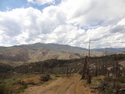
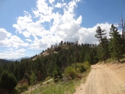
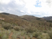
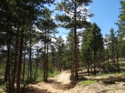
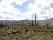
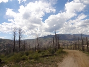
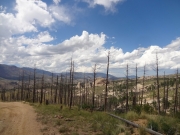
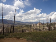
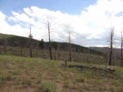
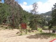
Our 4x4 group got in full swing after the Hayman Fire that burned up so much of the Gulches. As a result, we hadn't done the trails before the fire and we rarely did them since they were reopened. We'd heard that they were opened to the other side of the South Platte River, so we were heading over to check things out.
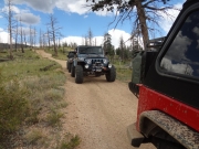
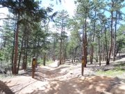
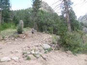
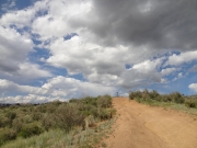
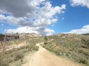
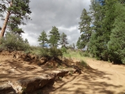
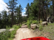
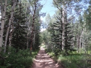
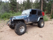
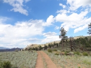
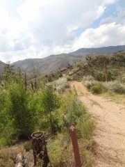
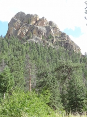
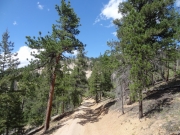
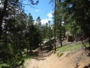
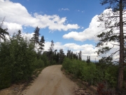
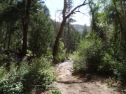
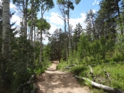
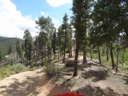
We didn't see any other people the whole way, which was a nice surprise. It was a mellow and scenic trip, with perfect weather. When we got to Hackett Rock, we talked about older, less capable vehicles we all used to have, and how difficult obstacles like these used to be. With our current Jeeps and improved driving skills, however, they are only fun diversions. We each drove up it without any issues. Is it more fun to have to struggle, with lesser vehicles? Maybe!
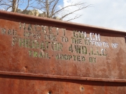
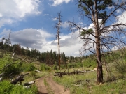
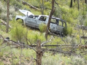
We cruised along, and got to the "Y" intersection. From what we could remember, you could only take the right fork since the fire. Now, both forks were open. There is a wrecked vehicle at the intersection that looks like it's been there a while. We decided to do the left fork first as it was new to us.
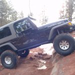
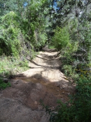
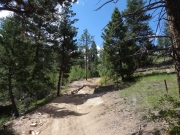
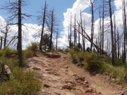
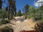
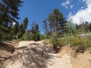
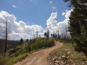
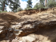
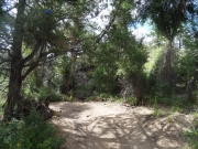
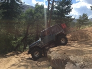
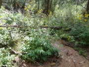
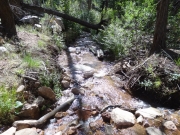
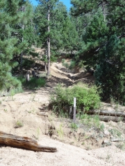
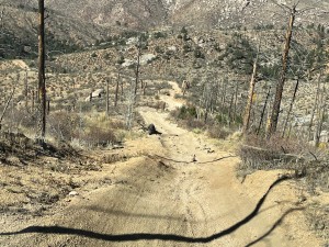
We soon came to the loose hill with many options for working your way down to the river. On the way down, we took options to the right instead of the left and that put us at the top of the big ledge in the middle. It's slanted down the hill, and dropping down it is a bit unnerving. You get a bit light on the driver's side, but it all worked out for us. The rest of the trail on the way down was overgrown and lush, without any sign of burn damage.
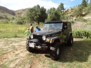
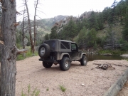
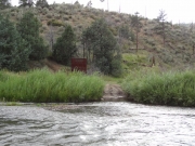
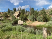
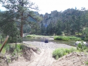
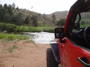
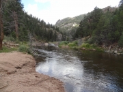
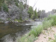
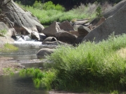
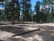
We got to a wide, flat spot next to the river that would be perfect for camping. We hung out for a bit, and then kept going. This is where you can cross the river if you want, but you can't get very far on the other side. The trail used to make a loop here, but it looked like it was closed on the other side. It looked very steep. Matt played in the water a bit, but didn't cross.
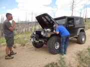
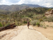
We walked up Widowmaker Hill a bit, but decided not to attempt it. Chad's lockers had gone out, and he wasn't going to be able to make it. The trail may continue all the way back up to Cedar Mountain Road, so we put it on our To Do List for later. It looked pretty crazy!
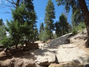
Working our way back to the intersection was fun, and we all skipped the ledge on the way up. It was still steep and festive. Then we took the other fork, putting us on Jeep Rock right away (we used to just call this the Rock Slab until we found out its real name). Mogul Hill was fun, and so was the rest of the descent. We soon found ourselves back at the river.
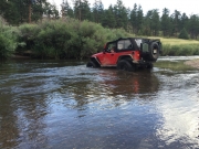
This time, we were going across. It was definitely deep and moving fast, but it wasn't too deep for us to get over to the other side. We'd never been over there, and it was pretty cool. That put us on Corral Creek for some more exploring, and we hoped we'd make it to Longwater Gulch on this side.
Reports from Other Days: 4
Use the arrows or dots to flip through the previews of the other reports for Hackett Gulch. Click one of them to read more and see all of the photos from that day.

